Peoples
- INDIENS
Citation
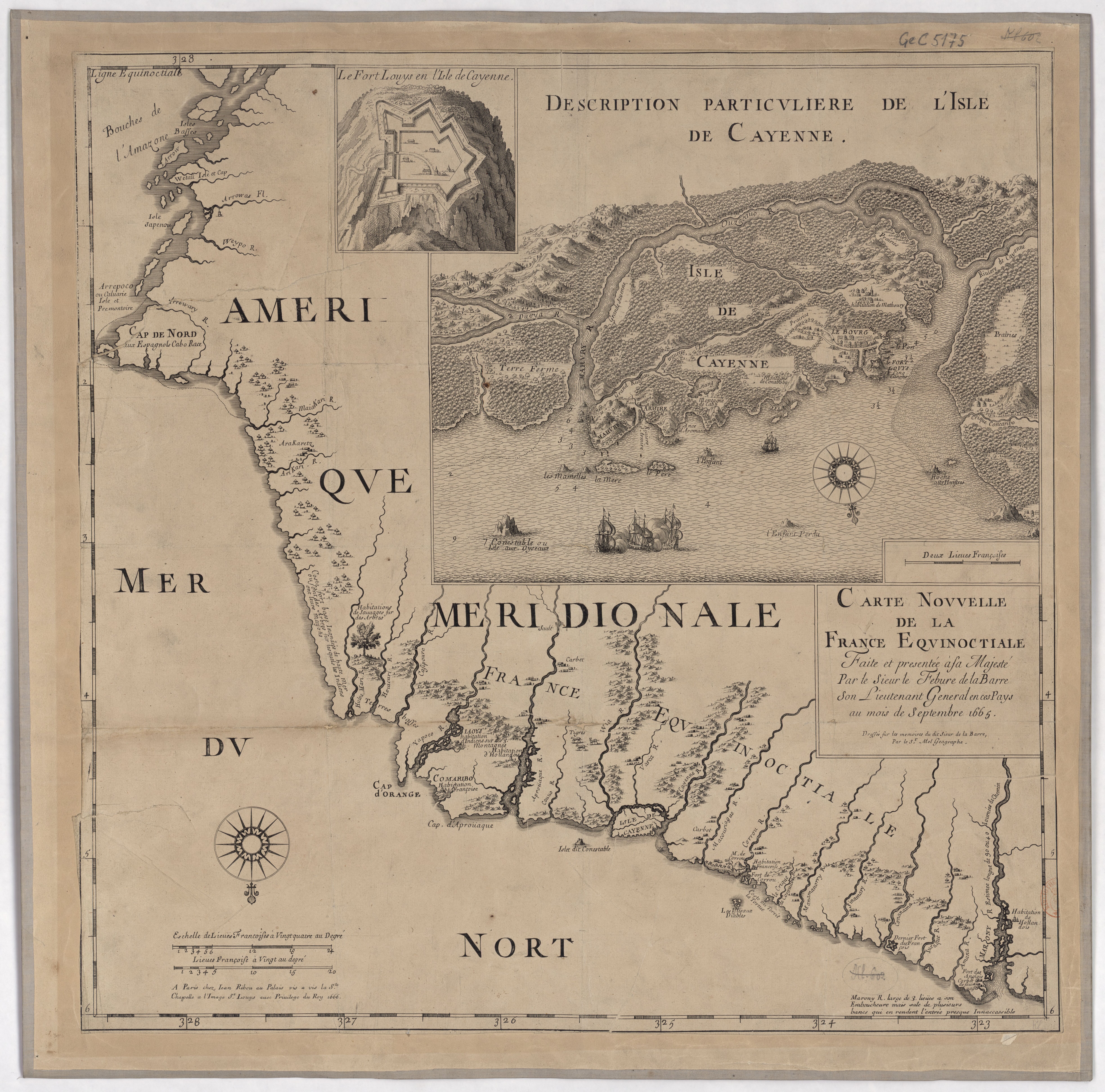
La Barre, Lefebvre de, and Mel. Carte nouvelle de la France Equinoctial. Map. Paris: Jean Ribou, 1666. Accessed August 11, 2023. https://gallica.bnf.fr/ark:/12148/btv1b53052602m/f1.item.
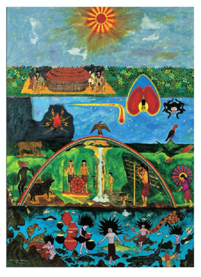
Wampis Cosmovision
Artwork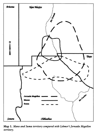
Mano and Sutna territory compared with Lehtner's Jornada Mogotton territory
Map 1997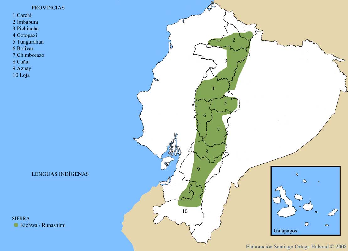
LENGUAS INDIGENAS SIERRA
Map 2008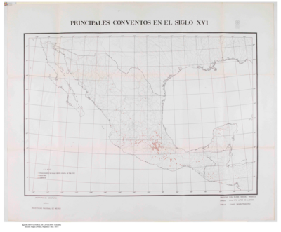
Principales Conventos en el Siglo XVI
Map 1500 - 1599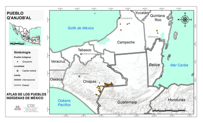
PUEBLO Q'ANJOB'AL
Map 2020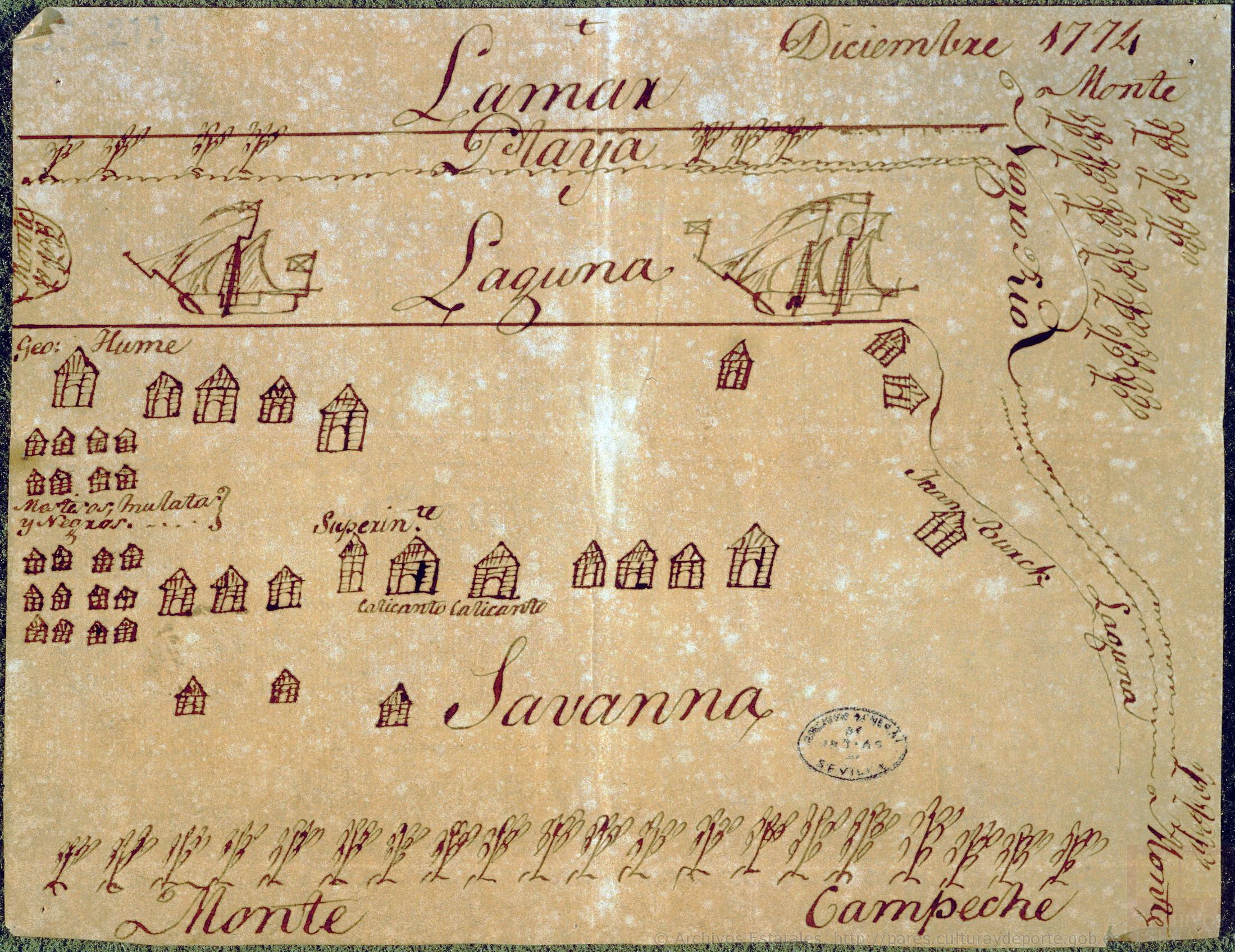
Diseño hecho á pluma de territorio que ocupan los ingleses en la costa de Mosquitos junto al Río Tinto.
Map 1774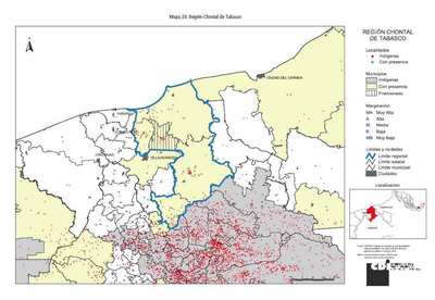
REGIÓN CHONTAL DE TABASCO
Map 2000![Mapa de la costa de la provincia de [Santa Marta con las bahías], Rios y Sitios](https://dnet8ble6lm7w.cloudfront.net/maps/COL/COL0086.jpg)
Mapa de la costa de la provincia de [Santa Marta con las bahías], Rios y Sitios
Map 1770