Peoples
- INDIOS
Citation
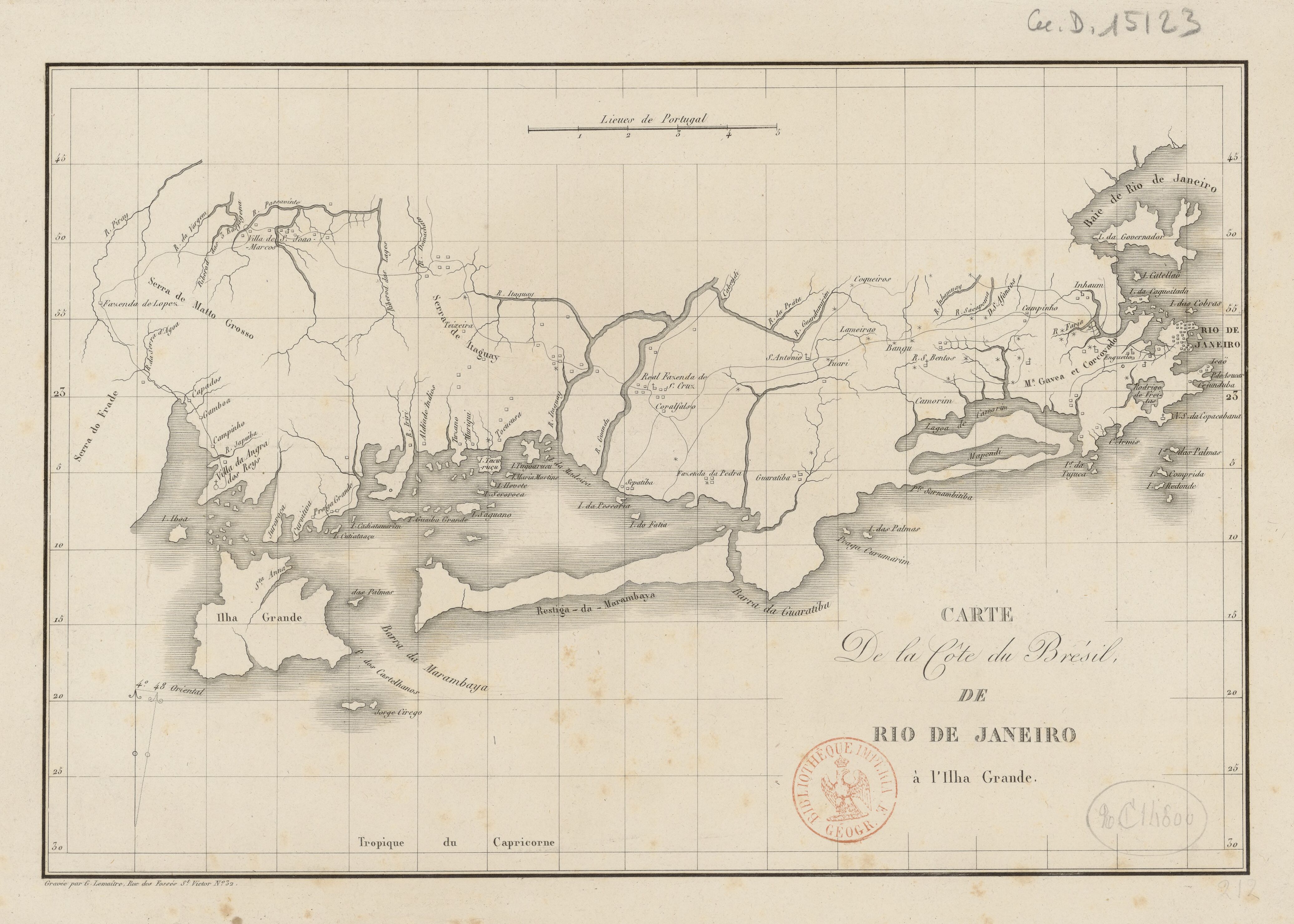
Lemaître, G. Carte de la côte du Brésil de Rio de Janeiro à l'Ihla Grande. Map. Paris, n.d. Accessed August 6, 2023. https://gallica.bnf.fr/ark:/12148/btv1b53033783g/f1.item.
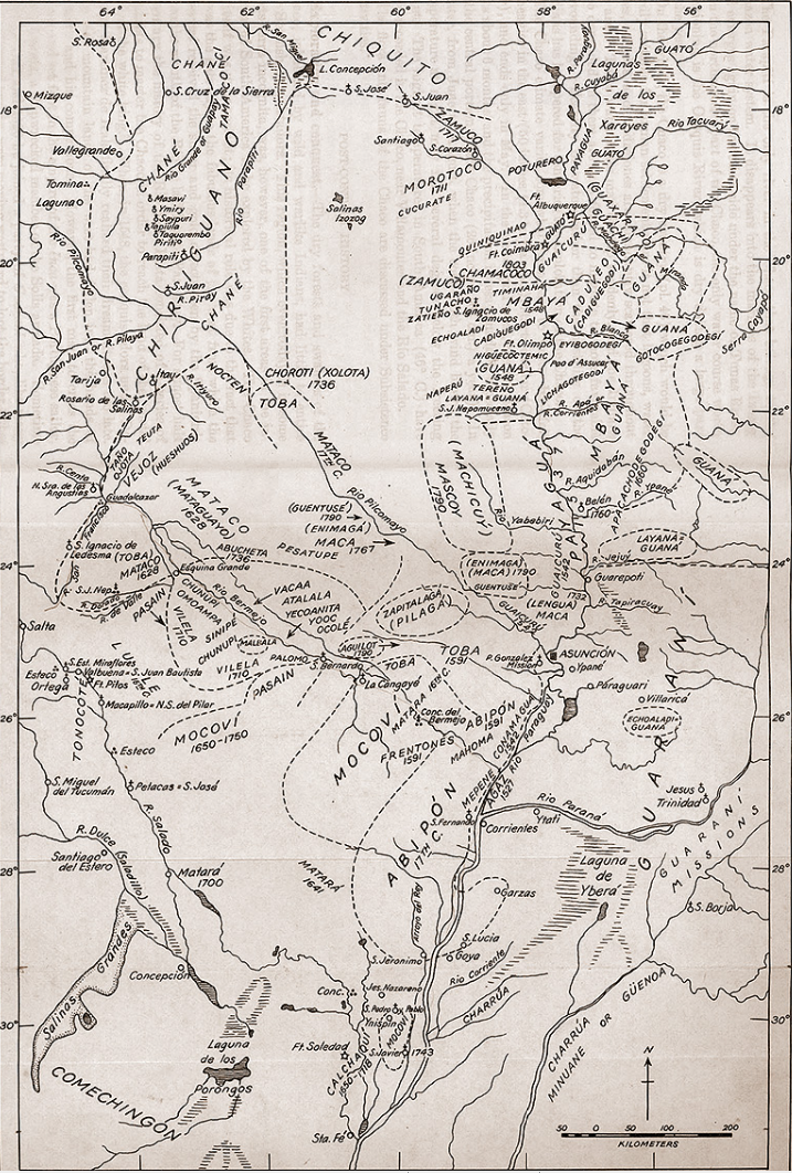
Tribus del Gran Chaco
Map 1527 - 1790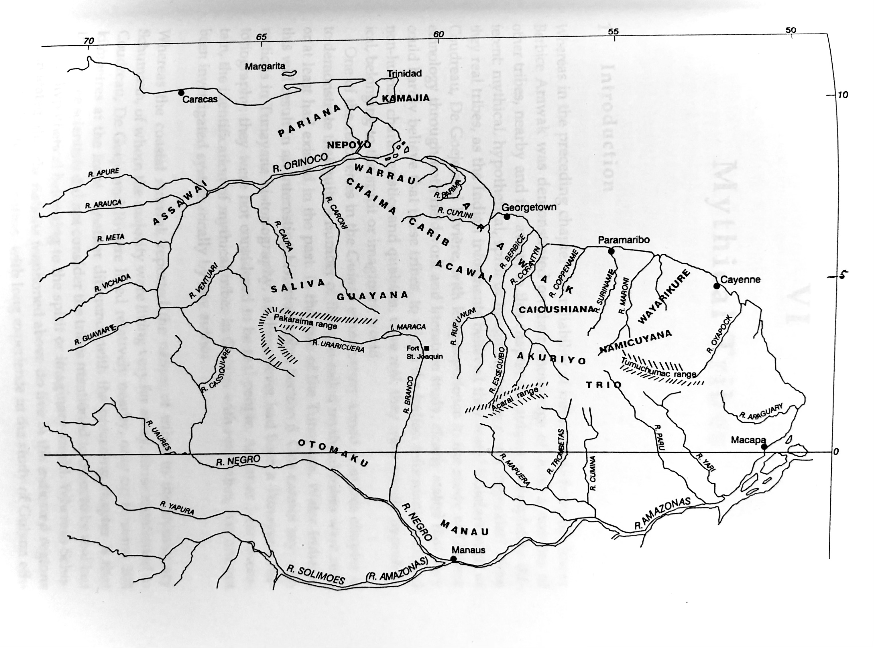
Plate 8. The 18 tribes reported by the Berbice Arawak
Map 1700 - 1799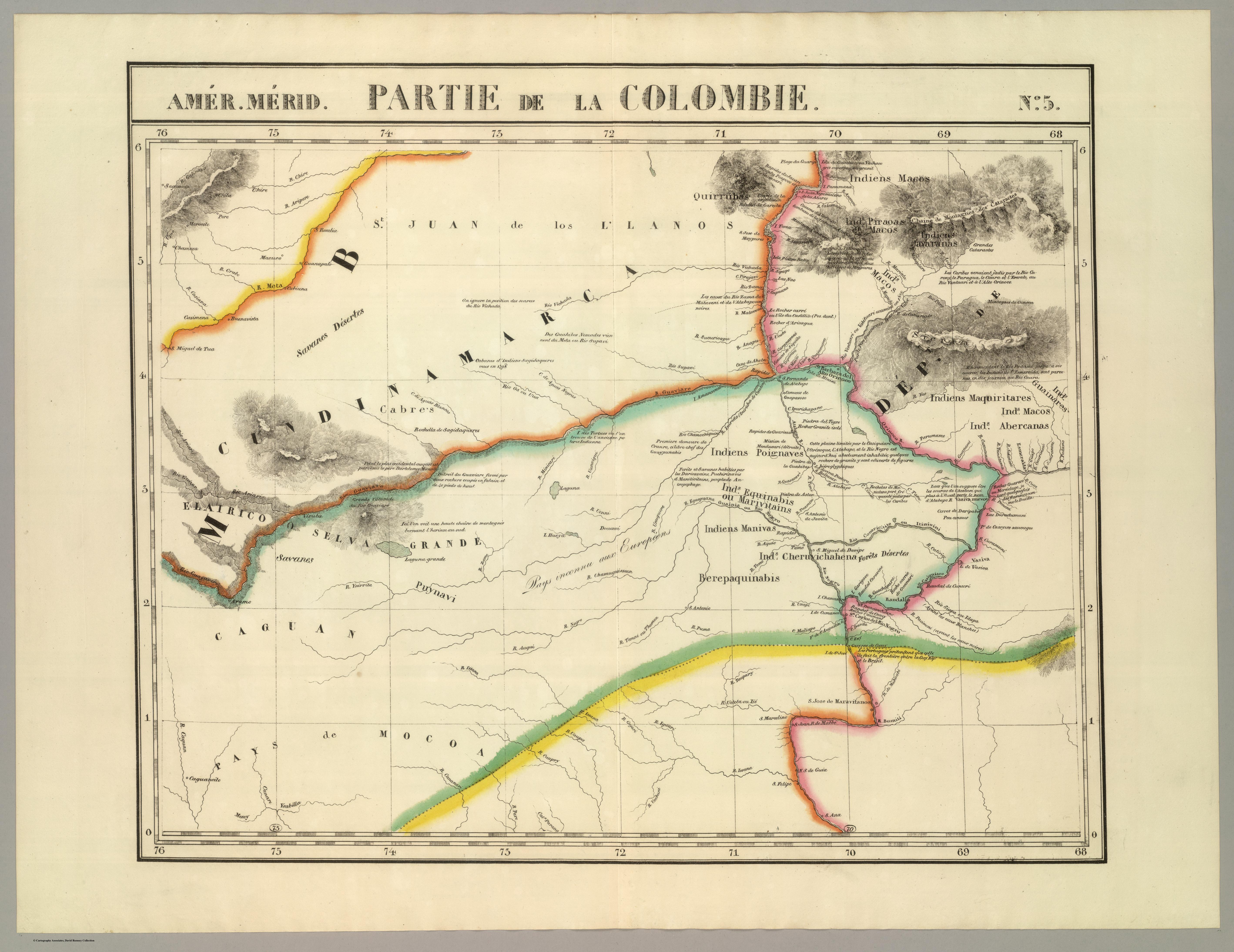
PARTIE DE LA COLOMBIE
Map 1827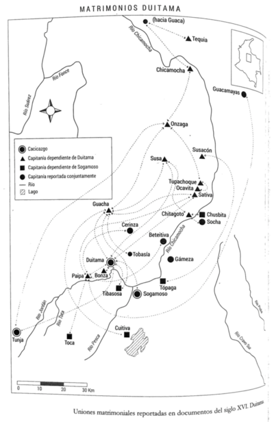
Matrimonios Duitama
Map 1500 - 1600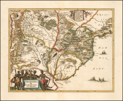
Paraquaria Vulgo Paraguay Cum adjacentibus
Map 1600 - 1699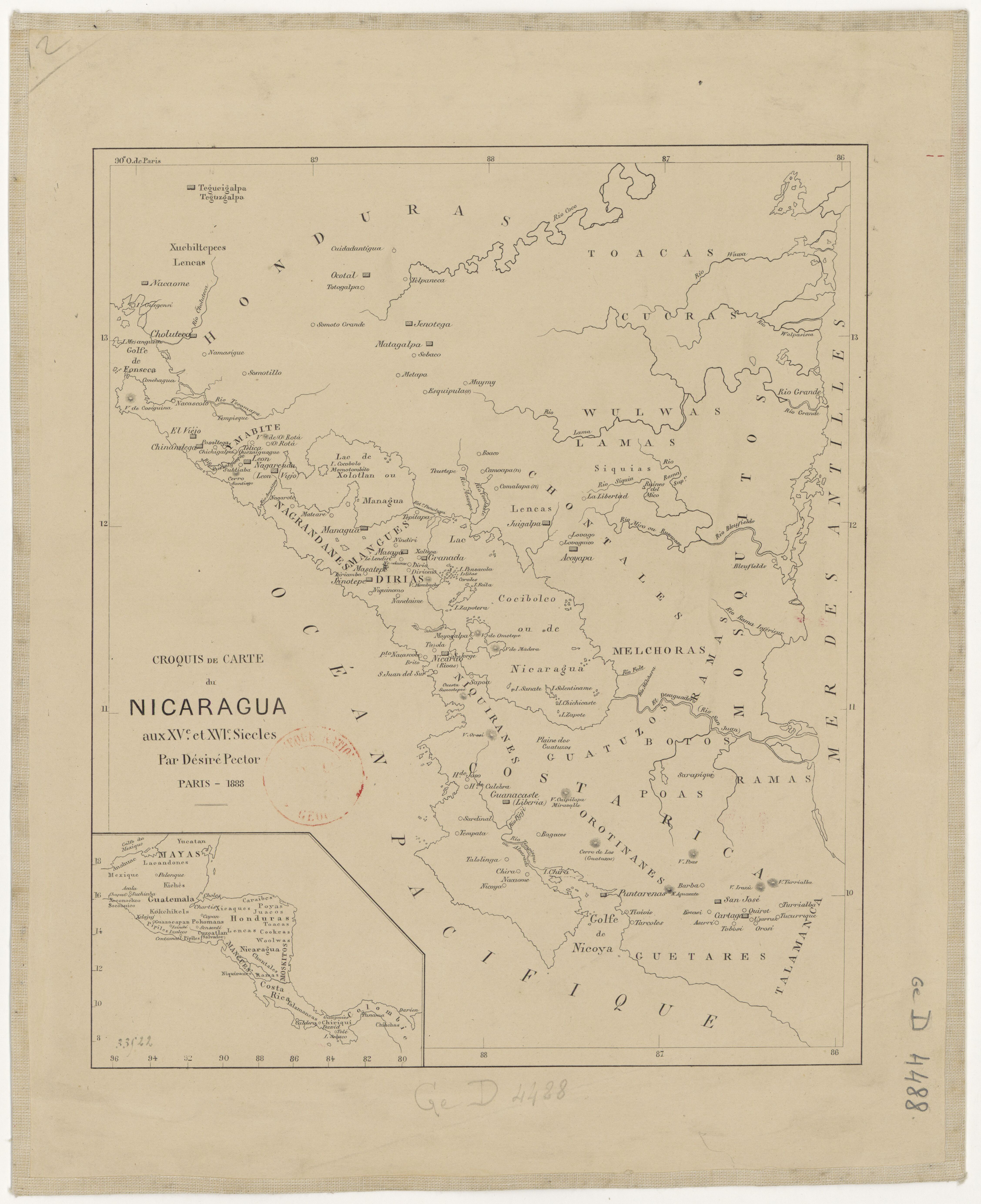
Croquis de carte du Nicaragua aux XVe et XVIe siécles/ par Désiré Pector.
Map 1880 - 1888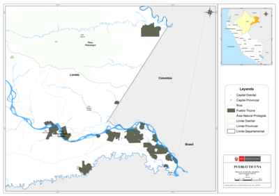
PUEBLO TICUNA
Map 2021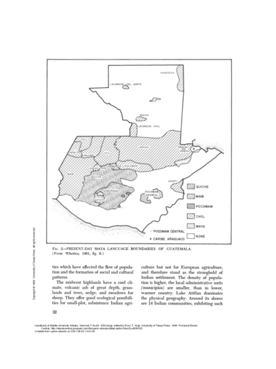
PRESENT-DAY MAYA LANGUAGE BOUNDARIES OF GUATEMALA
Map 1961