Peoples
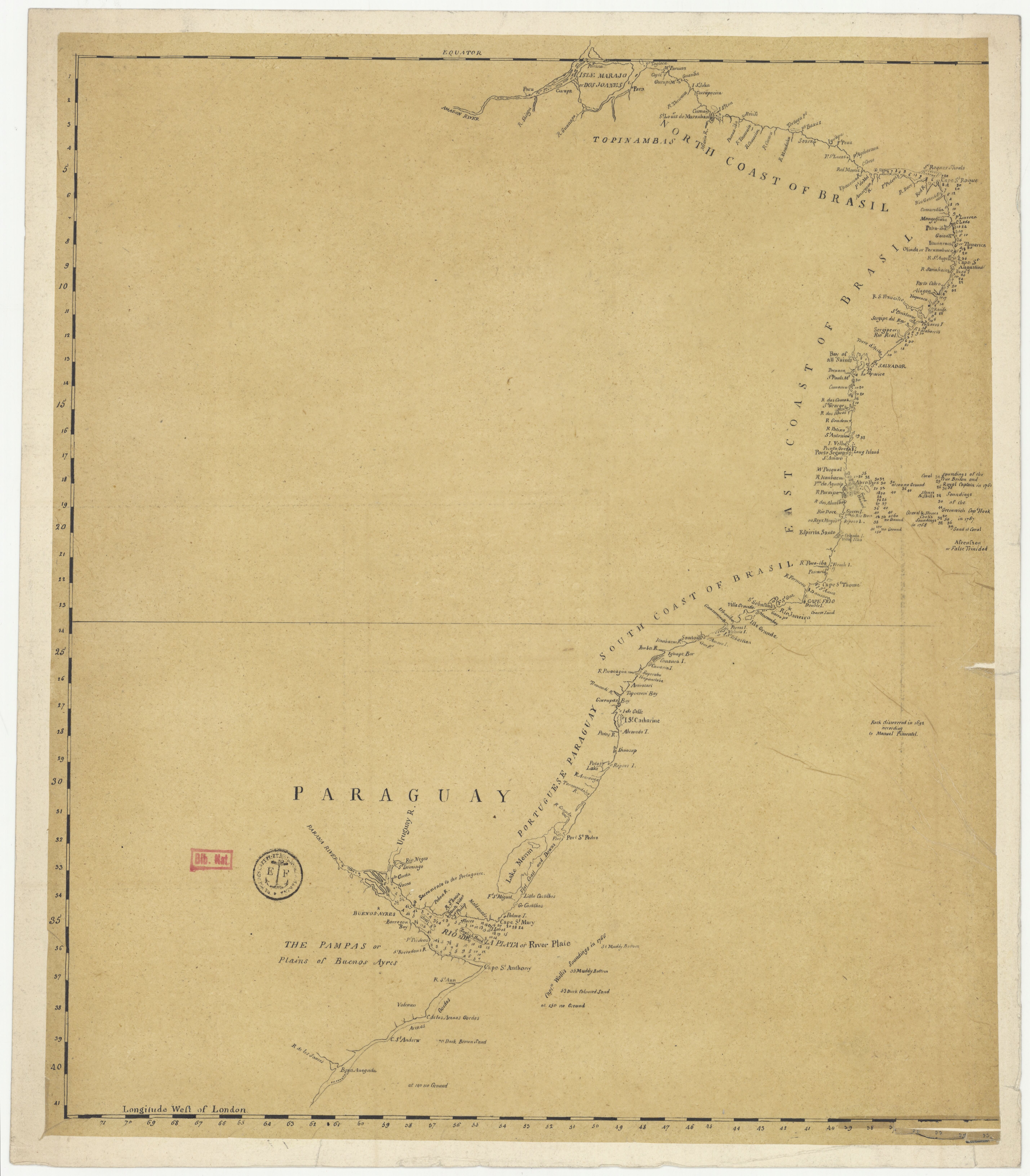
- TOPINAMBAS
Citation
"Carte anglaise des côtes du Brésil." Map. 1768. Accessed August 2, 2023. https://gallica.bnf.fr/ark:/12148/btv1b53121753h/f1.item.
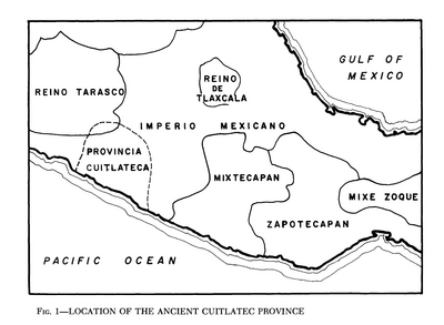
Location of the Ancient Cuitlatec Province
Map 1969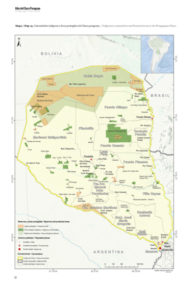
Comunidades indígenas y Áreas protegidas del Chaco paraguayo
Map 2020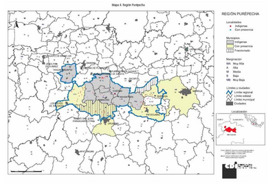
REGIÓN PUREPECHA
Map 2000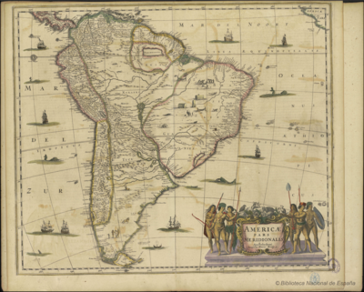
AMERICAE PARS MERIDIONALIS AMFTELODAMI SUMPTIBUS HENRICI HONDY
Map 1649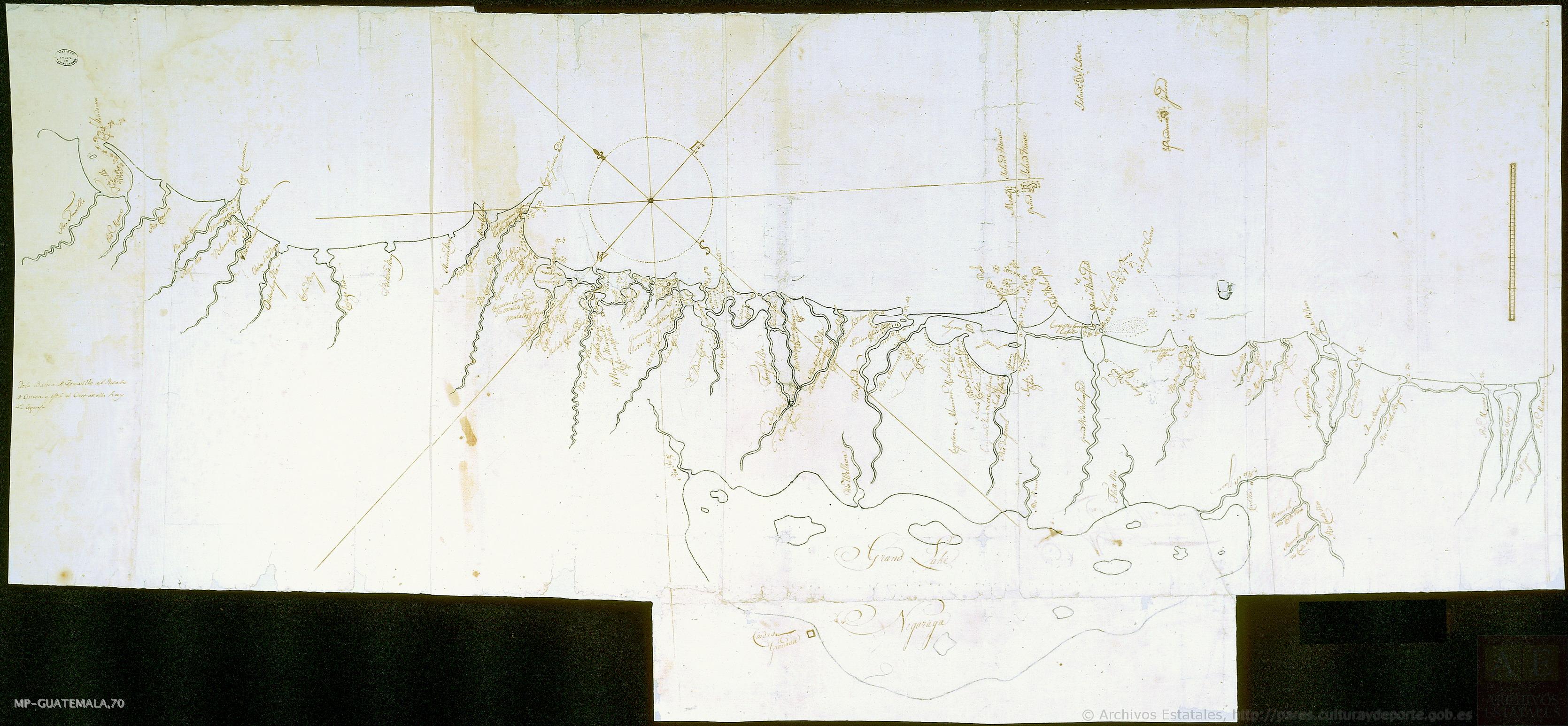
Mapa de costa comprendida entre Trujillo (Honduras) y la desembocadura del río de Matina.
Map 1768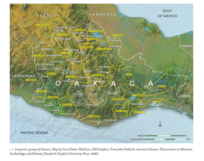
LINGUISTIC GROUPS OF OAXACA
Map 1966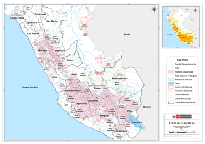
PUEBLOS QUECHUAS
Map 2021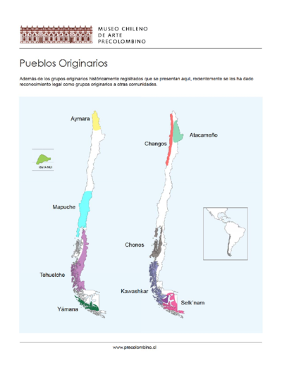
Chile's Indigenous Population
Map 2021