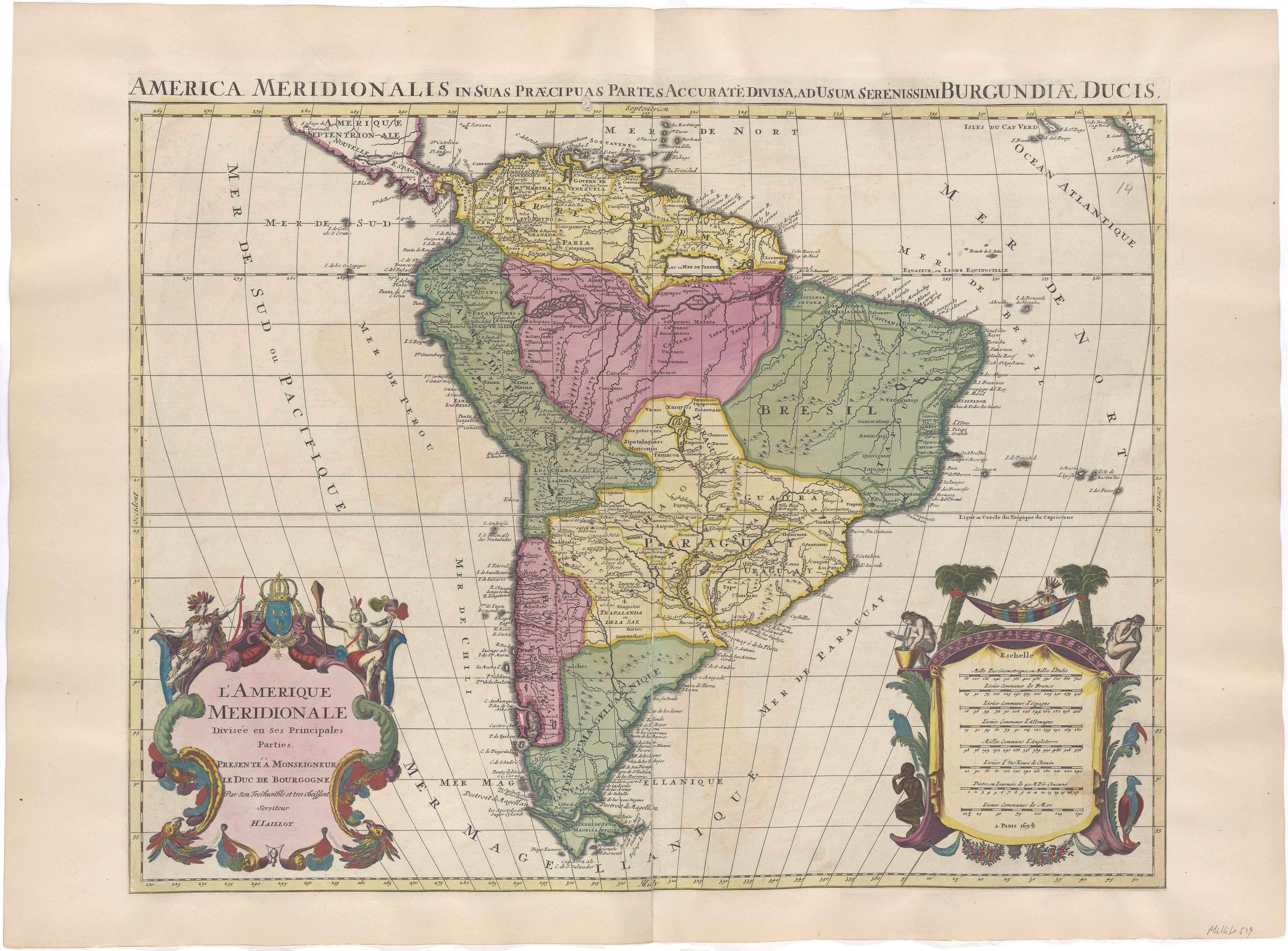
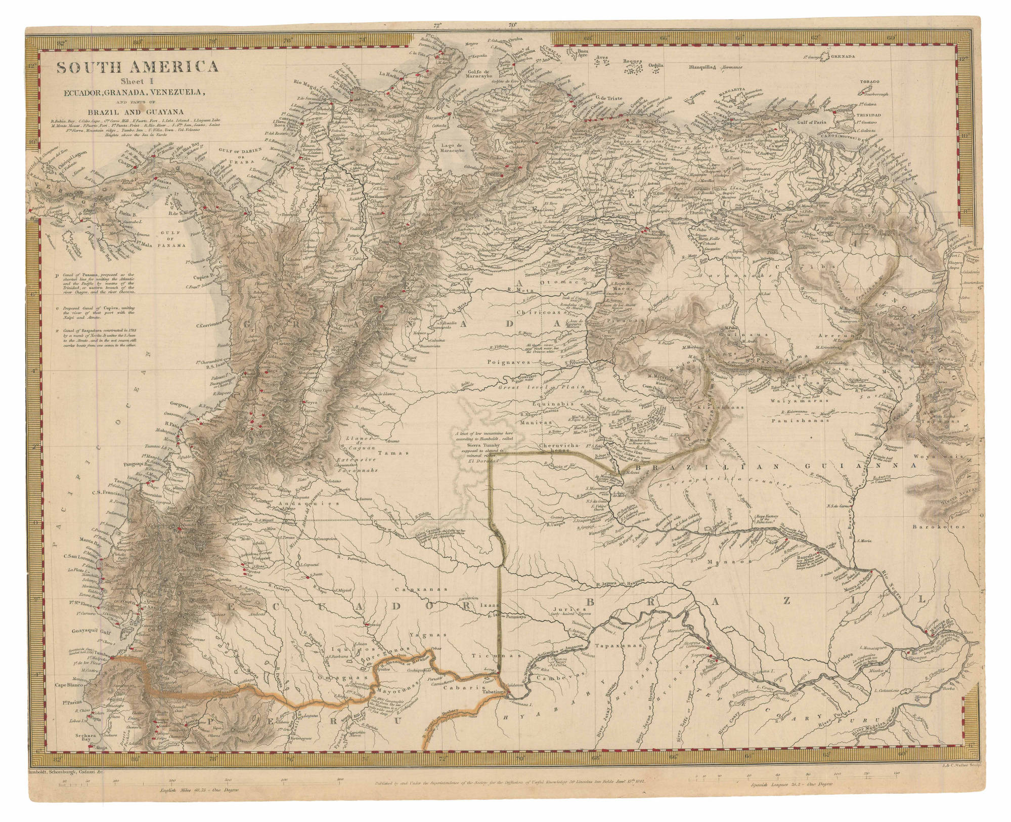
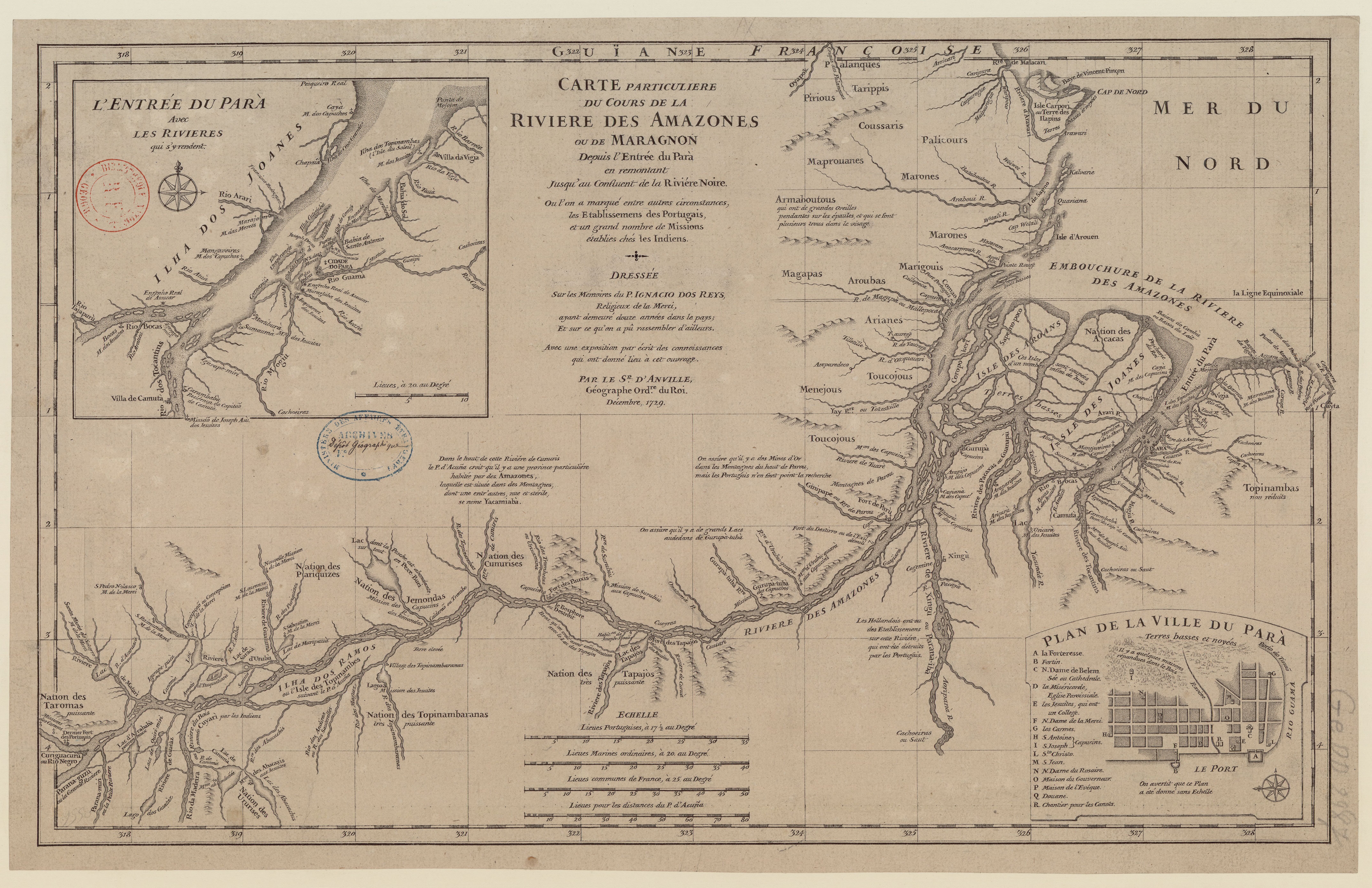
Peoples- PALICOURS
- MARONES
- COUSSARIS
- MAPROUANES
- PIRIOUS
- TARIPPIS
- PALANQUES
- ARMABOUTOUS
- MAGAPAS
- AROUBAS
- MARIGOUIS
- MENEJOUS
- TOUCOJOUS
- ARIANES
- AROANS
- ACACAS
- TOPINAMBAS
- YACAMIABA
- PARIQUIZES
- JEMONDAS
- CUNURISES
- TAPAJOS
- TOPINAMBARANAS
- TAROMAS
- URURISES
CitationAnville, Jean-Baptiste d', and Ignacio Dos Reys. "Carte particuliere du cours de la rivière des Amazones ou de Maragnon depuis l'entrée du Para en remontant jusqu'au confluent de la Rivière Noire." Map. 1729. Accessed August 2, 2023. https://gallica.bnf.fr/ark:/12148/btv1b8596756f/f1.item.
Anville, Jean-Baptiste d', and Ignacio Dos Reys. "Carte particuliere du cours de la rivière des Amazones ou de Maragnon depuis l'entrée du Para en remontant jusqu'au confluent de la Rivière Noire." Map. 1729. Accessed August 2, 2023. https://gallica.bnf.fr/ark:/12148/btv1b8596756f/f1.item.
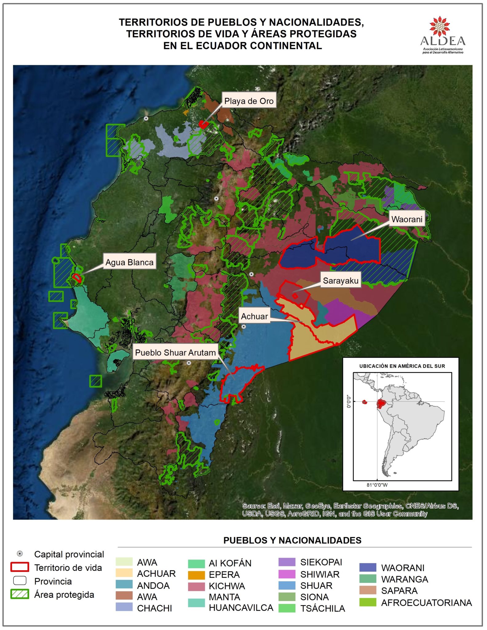
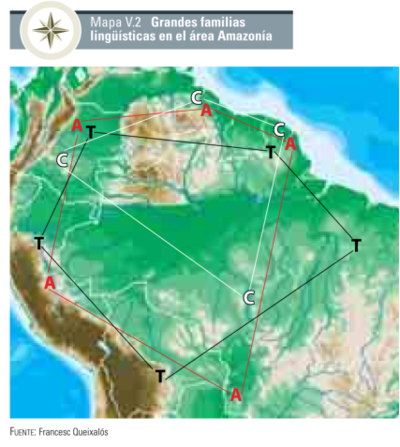
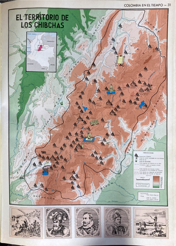
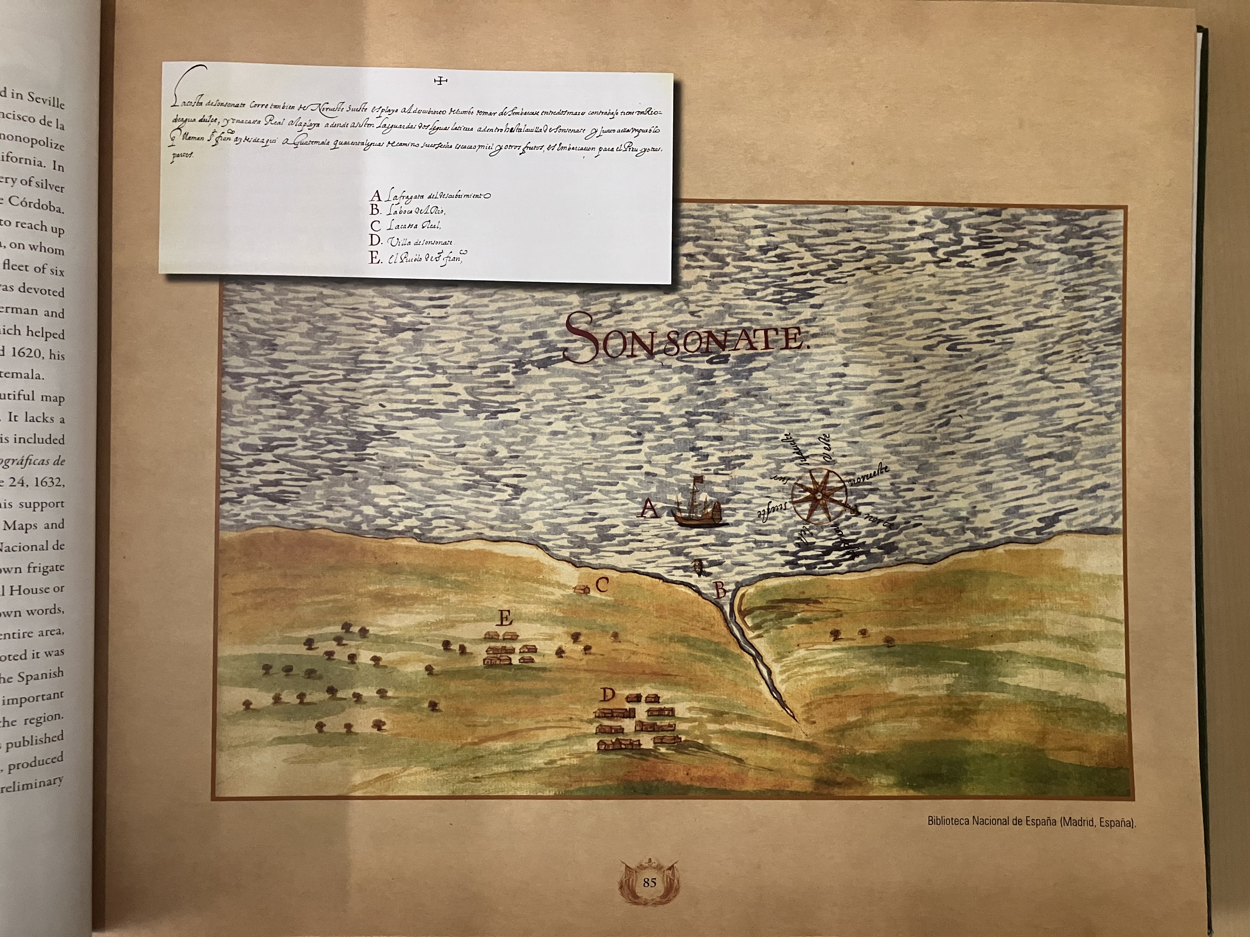
![Mapa generl. de la prova de Yndios Guagiros que llaman del Hacha [sic] : Situada entre las de Sta. Marta y Maracaibo, para la inteligencia de su exttenssion y limites, y la de colocacion de los nuevos pueblos a que se redugeron ultimamente los indios sublevados en el año de 1769, y las de otros que se deven fundar de yndios y de españoles en el resstto de la provincia para consseguir y mantener la pacificacion general de ella segun las órdenes del Exmo. Sr. Virrey de esstte nuevo reino Dn. Manuel Guirion acompañado de un discurso en el que se manifiesstta su essttado anttiguo, el pressentte y en el podra ponersse en adelantte](https://dnet8ble6lm7w.cloudfront.net/maps/COL/COL0090.jpg)
