Peoples
- PETIGUAR
- TOPIMANBAZES
Citation
Visscher, Claes Jansz. Afbeelding der stadt en fortressen van Parayba. Map. Amsterdam: C.J. Visscher, 1634. Accessed July 28, 2023. https://gallica.bnf.fr/ark:/12148/btv1b84390955/f1.item.
Geographical Distribution of the Cuicatec
Map 1969
CONFED. ARGENTINA, CHILIE, PARAGUAY, Y URUGUAY.
Map 1850
THE KARANQAS AYMARA POLITY UNDER SPANISH COLONIAL RULE IN THE 18TH CENTURY
Map 1750 - 1804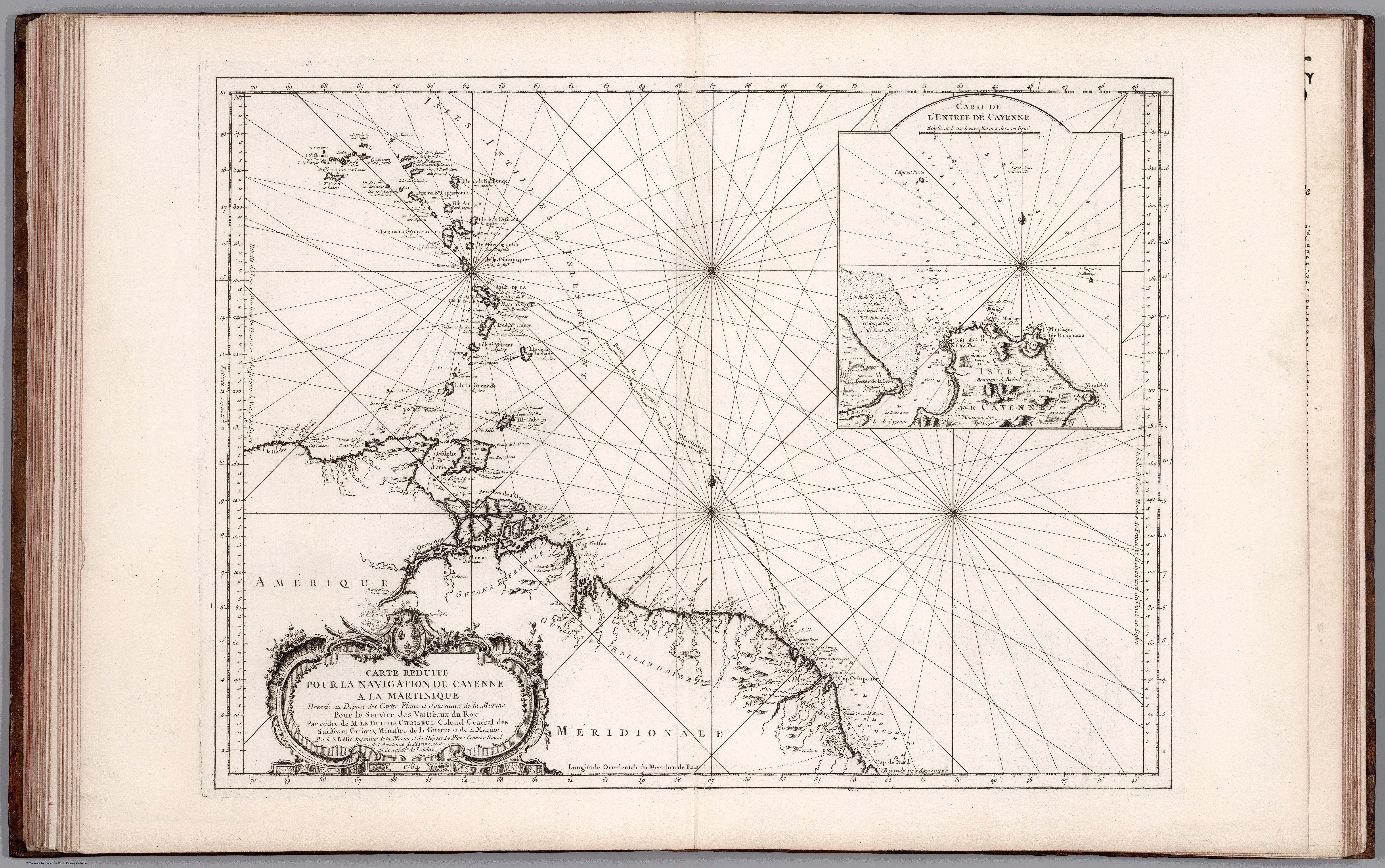
Carte Réduite Pour la Navegaton de Cayenne a la Martinique. Dressée au Dépost des Cartes Plans et Journaux de la Marine Pour le Service des Vaisseaux du Roy. Par ordre de M. le Duc des Choiseul Colonel Géneral des Suisses et Grisons;Ministre de la Guerre et de la Marine.
Map 1700 - 1799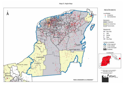
REGIÓN MAYA
Map 2000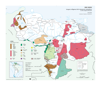
Lenguas indígenas de la Amazonia venezolana (y otras regiones del país)
Map 1998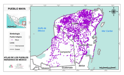
PUEBLO MAYA
Map 2020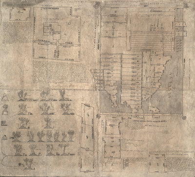
MAPA DE OZTOTÍCPAC
Map 1500 - 1599