Peoples
- AROAS
Citation
Horatius, Andreas Antonius. Provincie del Para e del Maragnon. Map. Rome: Rossi, 1700. Accessed July 27, 2023. https://gallica.bnf.fr/ark:/12148/btv1b8596742d/f1.item.
"Territorio Indígena Zapatón (Huetar)"
Map 2010
PUEBLO KAQCHIKEL
Map 2020
Entree de la Riviere d'Aprouak situee dans la Guyane
Map 1767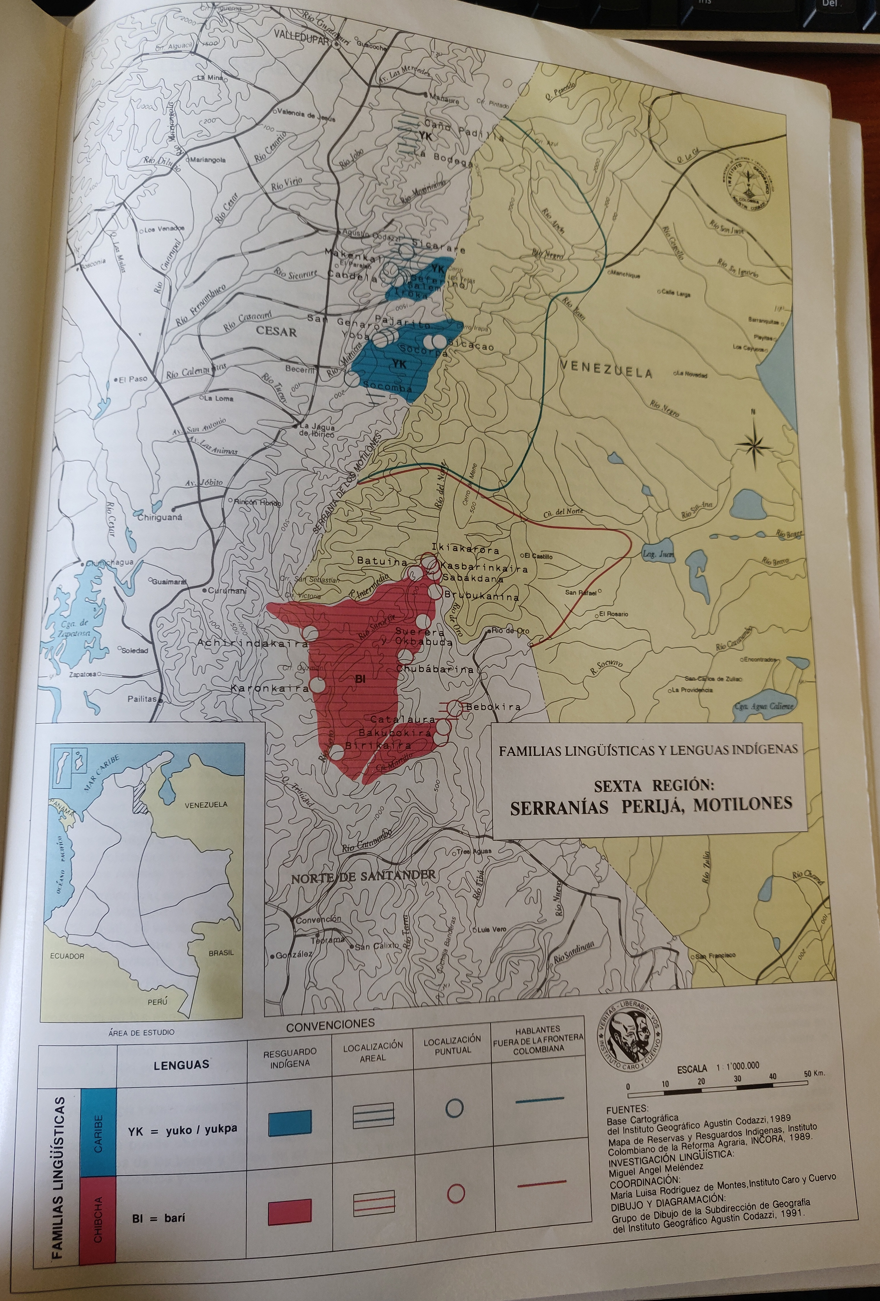
FAMILIAS LINGUÍSTICAS Y LENGUAS INDÍGENAS. SEXTA REGION: SERRANÍAS PERIJA, MOTILONES
Map 1989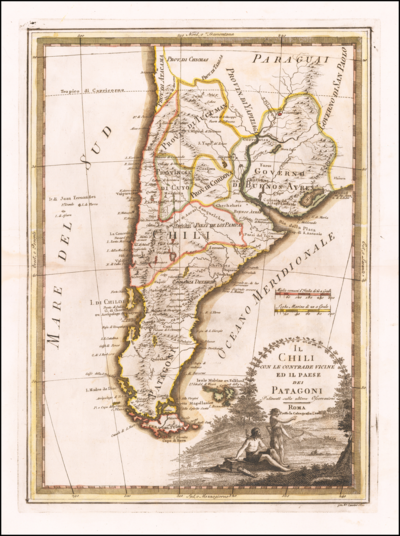
Il Chili con le contrade vicine ed il Paese dei Patagoni
Map 1700 - 1800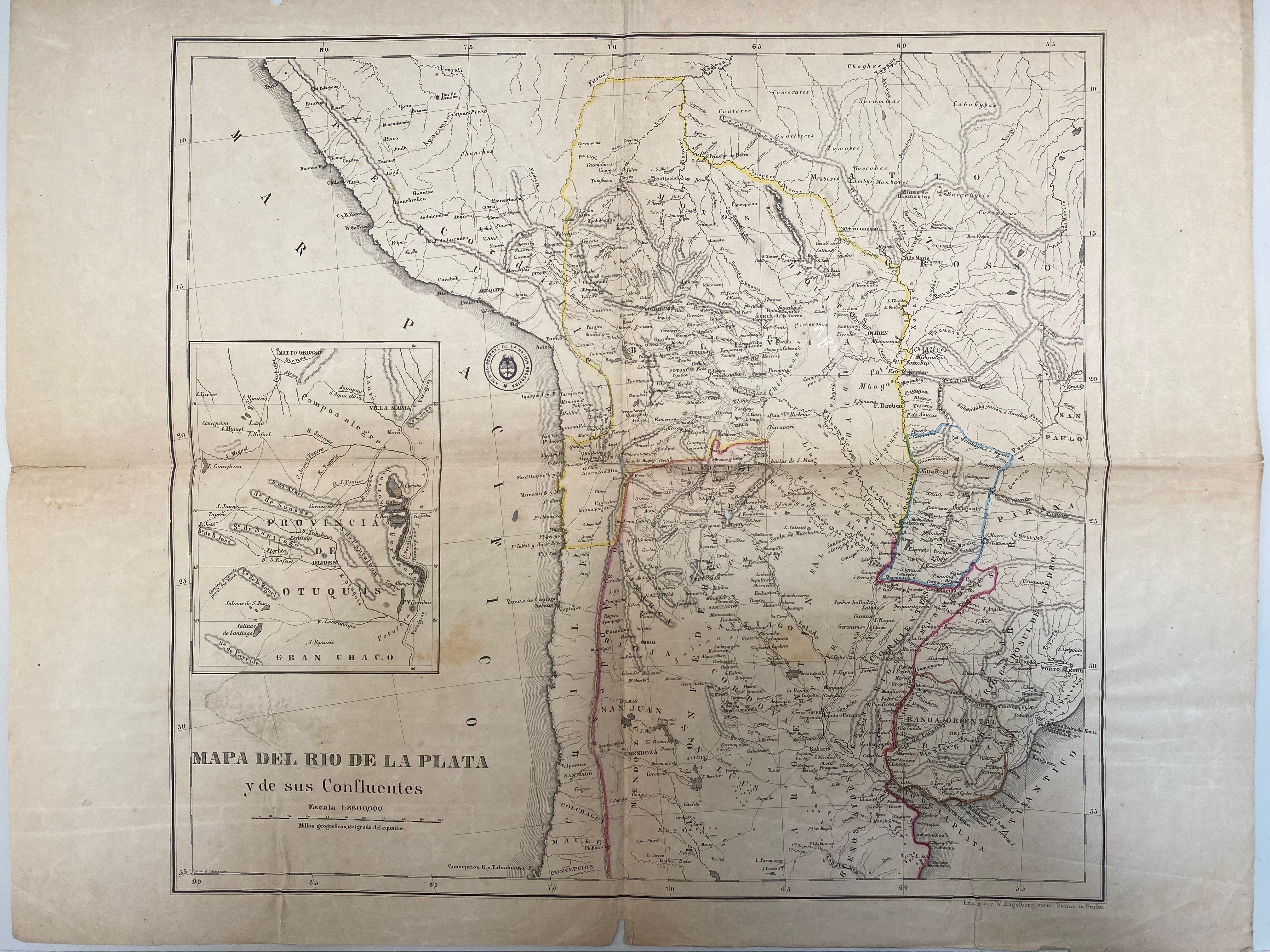
A New Map of Part /of the Great River / De la Plata, /of Tucuman / and the adjacent Countries, from Buenos Ayres to Potosí
Map 1716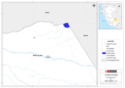
PUEBLO IÑAPARI
Map 2021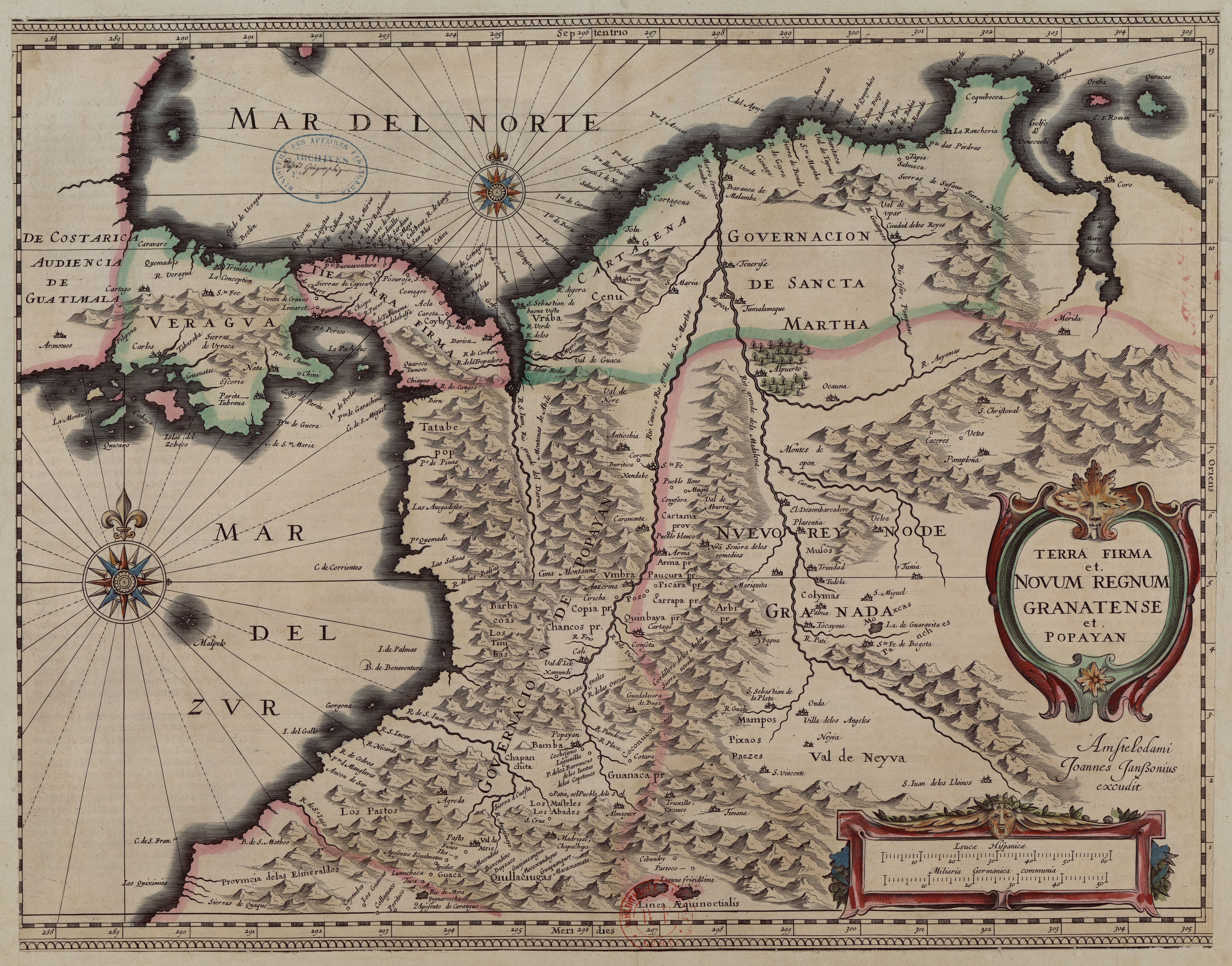
Terra Firma et Novum Regnum Granatense et Popayan
Map 1635