Peoples
- AROAS
Citation
Horatius, Andreas Antonius. Provincie del Para e del Maragnon. Map. Rome: Rossi, 1700. Accessed July 27, 2023. https://gallica.bnf.fr/ark:/12148/btv1b8596742d/f1.item.
![Amazonía [Amazon]](https://dnet8ble6lm7w.cloudfront.net/art_sm/APER082.png)
Amazonía [Amazon]
Artwork
Terra Indígena Rio Branco (do Itanhaém)
Map 2012
Part of the Southwest 1600-1750 Showing Locations of "Unknown Athapaskans"
Map 1600 - 1750
Ayoreo
Map 2001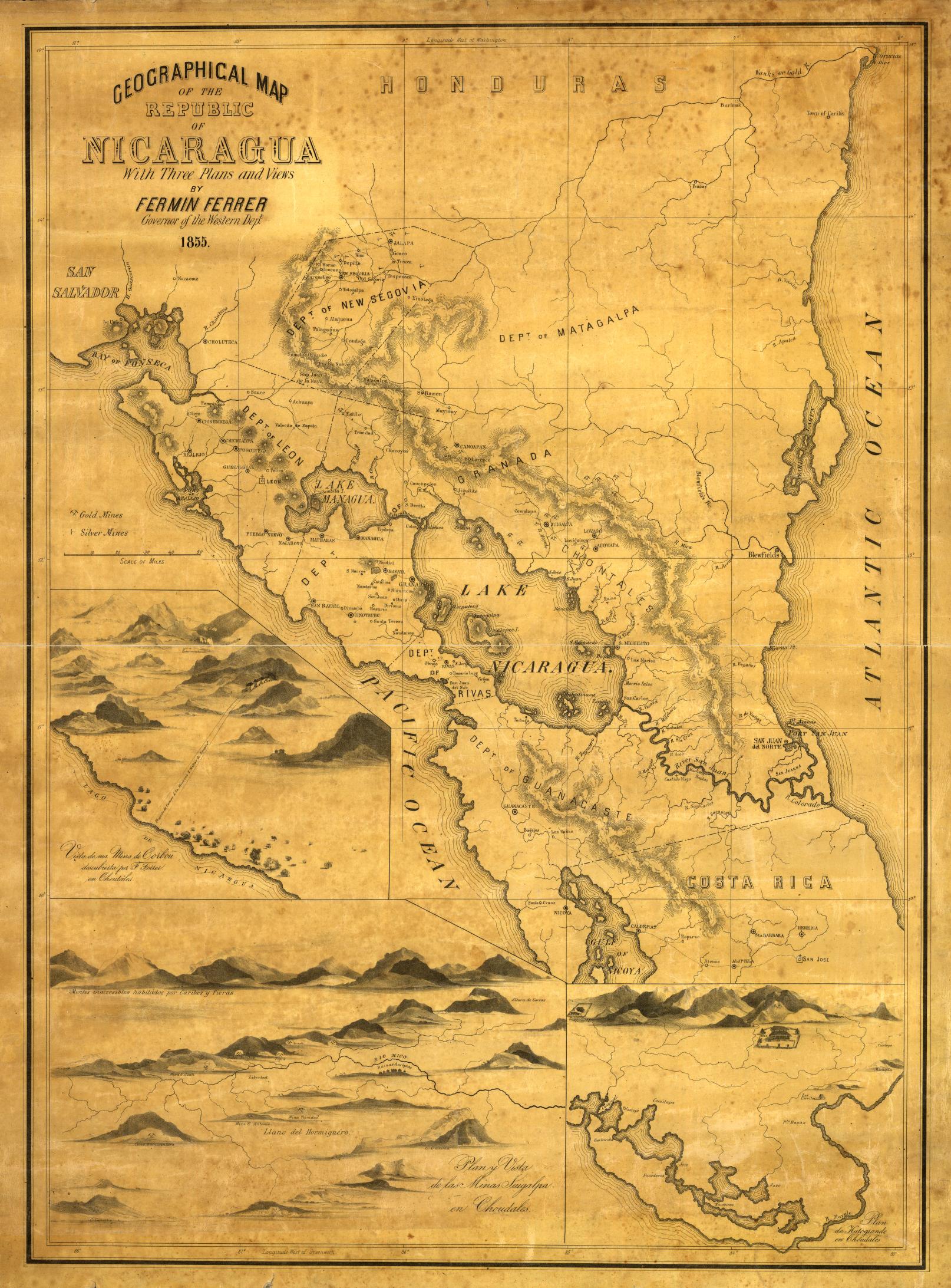
Geographical Map of the Republic of Nicaragua.
Map 1855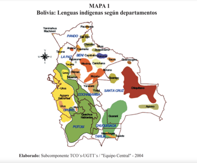
Lenguas indígenas según departamentos
Map 2004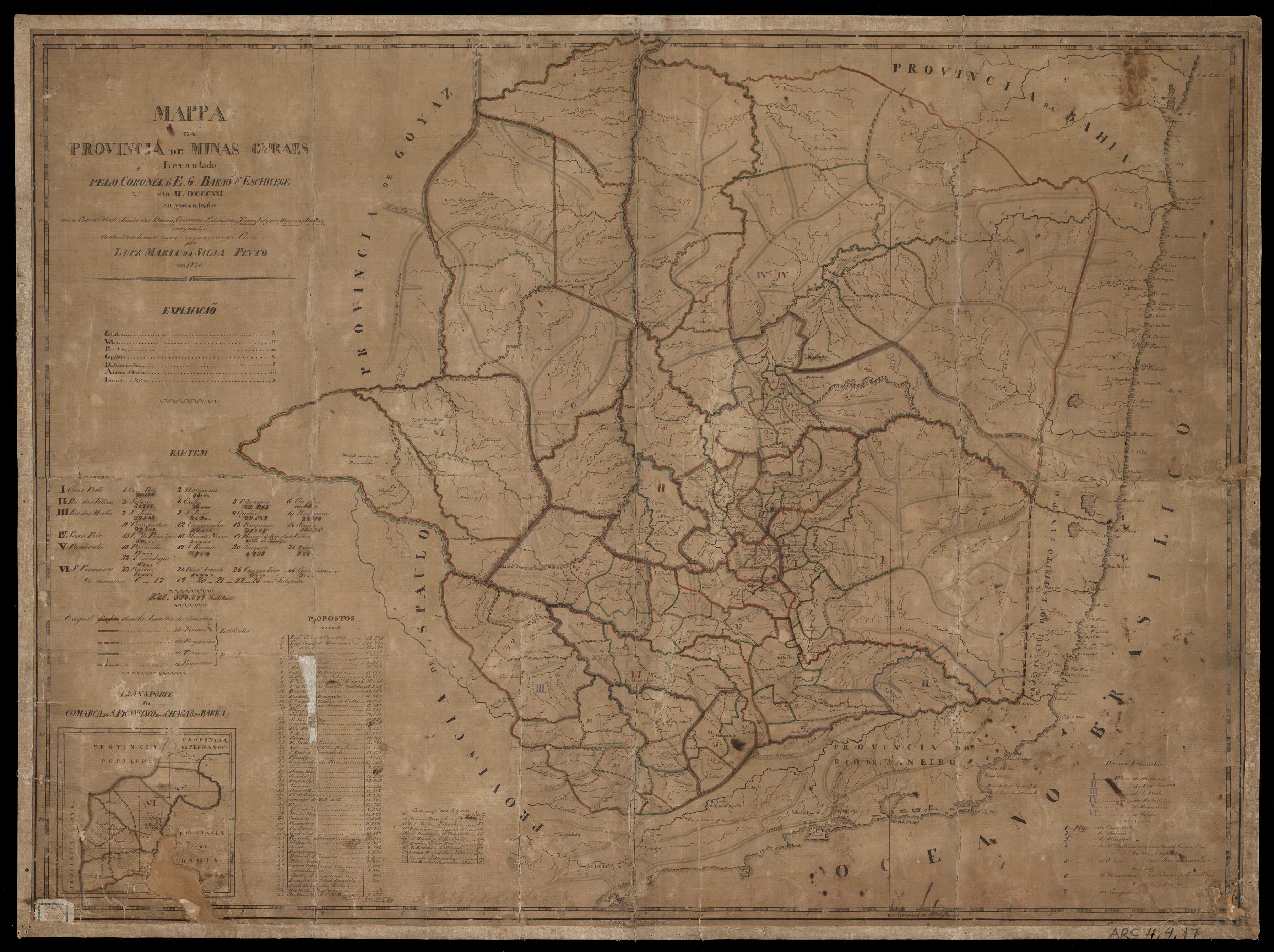
MAPPA DA PROVINCIA DE MINAS GERAES
Map 1826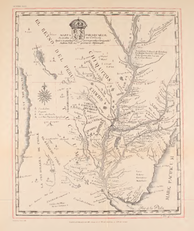
MAPPA PARAQUARIAE
Map 1700 - 1770