Peoples
- AYMURES
- MOLOPAQUES
- MARGAIAS
- TAPUIAS
- APIAPETANG
Citation
Horatius, Andreas Antonius. "Provincie dello Spirito Santo e di Porto Sicuro." Map. Rome, 1700. Accessed July 26, 2023. https://gallica.bnf.fr/ark:/12148/btv1b85967039/f1.item.
Distribucion Territorial Actual de las Comunidades Quechua
Map 1993
Carte de la cote orientale Du Brésil entre le 15e et le 23e degré de latitude australe
Map 1821
RELACIÓN GEOGRÁFICA DE SANTIAGO TEJUPAN
Map 1500 - 1599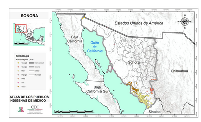
SONORA
Map 2015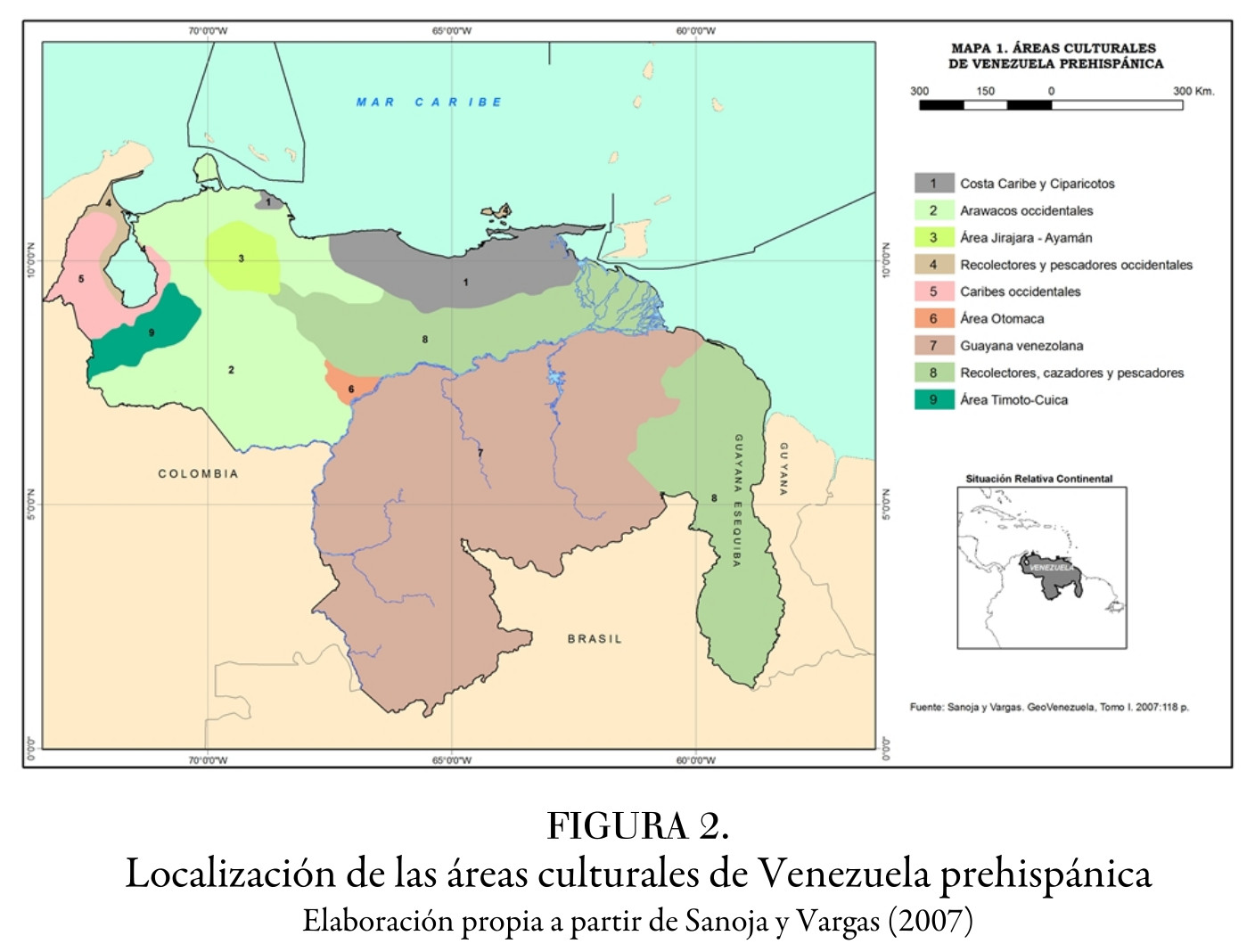
Localización de las áreas culturales de Venezuela prehispánica
Map 1490
PLAN of the Isle GRANDE & the adjacent parts of the COAST of BRAZIL
Map 1764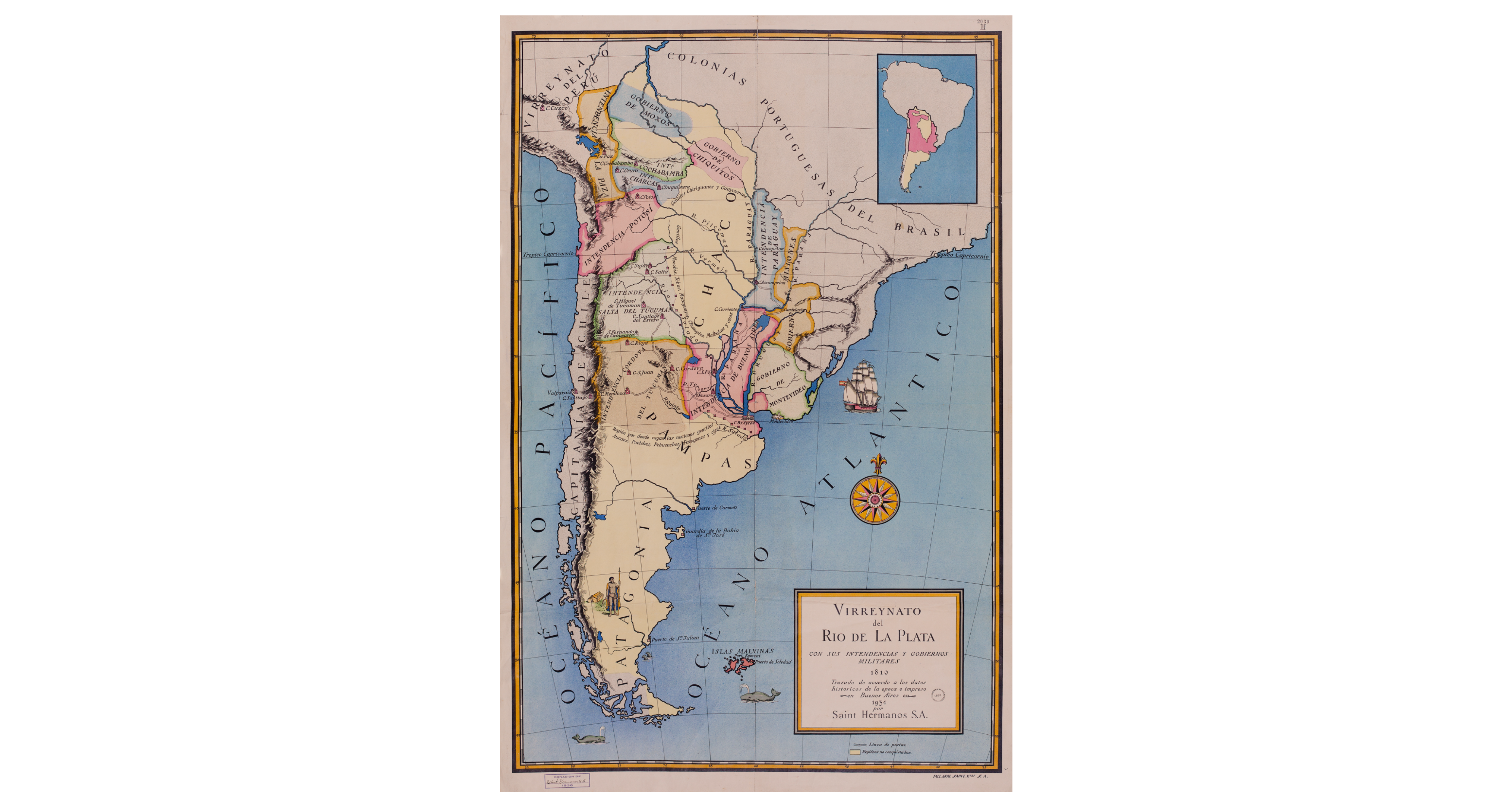
Virreynato del Río de La Plata con sus intendencias y gobiernos militares: 1810
Map 1810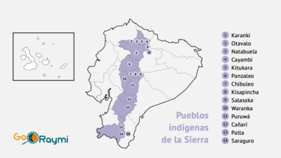
Pueblos indígenas de la Sierra
Map 2020