Dispossesions in the Americas

Dispossesions in the Americas

  • Home
  • Explore
  • About
  • Authors
  • Art
  • Bodies
  • Curricula
  • Cultural Heritage
  • Maps
  • Territories
Back to Explore
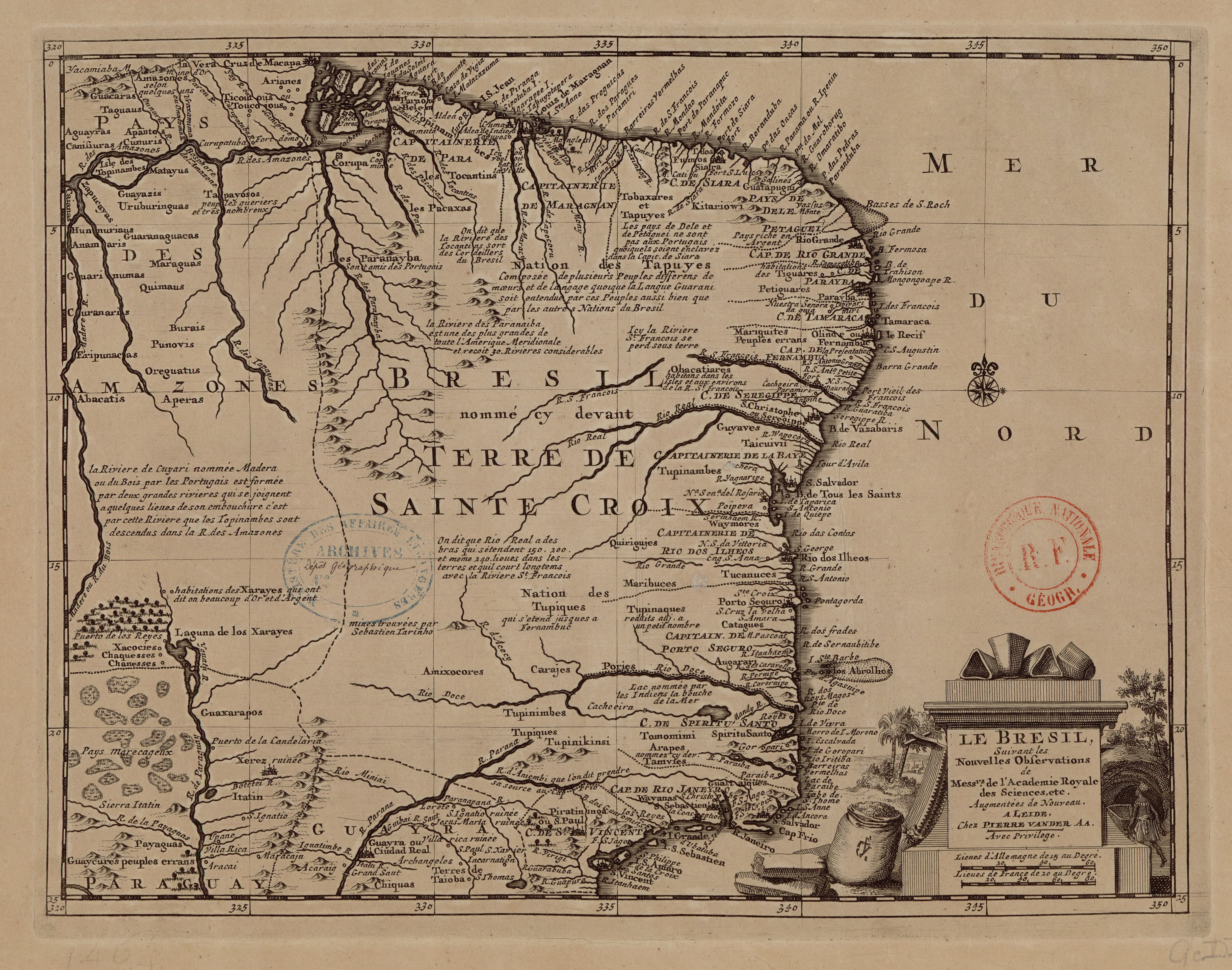
Map 1714

LE BRESIL

  • L'ACADEMIE ROYALE DES SCIENCES, ET AL.

Published: 1714

  • Download Image

Peoples

  • KITARIOWI
  • SIARA
  • FUMOS
  • GUATAPUGUI
  • TOBAXARES
  • TAPUYES
  • TOPINAMBES
  • TOCANTINS
  • PACAXAS
  • ARIANES
  • TICOUTOUS
  • TOUCOJOUS
  • AMAZONES
  • GUACARAS
  • TAGUAUS
  • APANTOS
  • CUNURIS
  • AGUAYRAS
  • CANISIURAS
  • MATAYUS
  • GUAYAZIS
  • URUBURINGUAS
  • ZAPUCAYAS
  • CAIANAS
  • TAPAYOSOS
  • HUNNURIAUS
  • ANAMARIS
  • GUARANAGUACAS
  • MARAGUAS
  • QUIMAUS
  • CURANARIS
  • BURAIS
  • PUNOVIS
  • ERIPUNACAS
  • OREGUATUS
  • PARANAYBA
  • OBACATIARES
  • MARIQUITES
  • PETIGUARES
  • TIGUARES
  • GUYAVES
  • TAICUIVII
  • TUPINAMBES
  • WAYMORES
  • QUIRIGUJES
  • XARAYES
  • XACOCIES
  • CHAQUESSES
  • CHANESSES
  • GUAXARAPOS
  • AMIXOCORES
  • TUPINIMBES
  • CARAJES
  • TUCANUCES
  • MARIBUCES
  • TUPINAQUES
  • CATAGUES
  • AUGARARI
  • TOMOMIMI
  • ARAPES
  • TAMVIES
  • GUAITAIQUES
  • WAYANAS
  • TUPIQUES
  • TUPINIKINSI
  • PIRATININGA
  • CHIQUAS
  • ITATIN
  • PAYAGUAS
  • GUAYCURES

Citation

L'Academie Royale des Sciences, and Pierre Van der Aa. Le Brésil. Map. Leiden: Pierre Van der Aa, 1714. Accessed July 24, 2023. https://gallica.bnf.fr/ark:/12148/btv1b8596678p/f1.item.
  • Download Image

Reading in Spanish

Map 1714

LE BRESIL

  • L'ACADEMIE ROYALE DES SCIENCES, ET AL.

Published: 1714

  • Download Image
  • Download Image

Related Content

Provinces depéndant de la triple alliance

Provinces depéndant de la triple alliance

Map
SOUTH AMERICA;BRAZIL;&C.

SOUTH AMERICA;BRAZIL;&C.

Map 1883
Red Bank and Maya Mopan

Red Bank and Maya Mopan

Map 1997
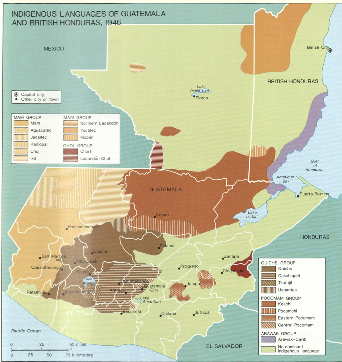
IDIOMAS DE GUATEMALA Y BELICE

IDIOMAS DE GUATEMALA Y BELICE

Map
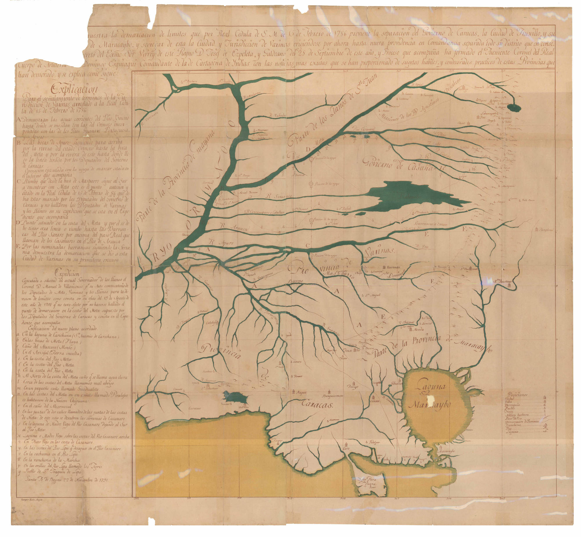
Geographica particular Detallada que Comprehende las Ciudades, Villas Parroquias y demas Poblaciones entre Santa FĂ© de Bogota y las Provincias de Maracaybo y Santa Marta

Geographica particular Detallada que Comprehende las Ciudades, Villas Parroquias y demas Poblaciones entre Santa FĂ© de Bogota y las Provincias de Maracaybo y Santa Marta

Map 1700 - 1799
Grupo aborigen EmberĂ¡

Grupo aborigen EmberĂ¡

Map
SOUTH AMERICA - NORTHERN SECTION

SOUTH AMERICA - NORTHERN SECTION

Map 1923
Carte anglaise des côtes du Brésil

Carte anglaise des côtes du Brésil

Map 1700 - 1799

Dispossessions in the Americas

A project by

University of Pennsylvania

Copyright 2024

With support from

Mellon Foundation

Site design & development

Element 84

Art Credits

L’Academie Royale des Sciences, and Pierre Van der Aa. Le BrĂ©sil. Map. Leiden: Pierre Van der Aa, 1714. Accessed July 24, 2023. https://gallica.bnf.fr/ark:/12148/btv1b8596678p/f1.item.
Site Pages

  • Home
  • Explore
  • About
  • Authors
  • Art
  • Bodies
  • Curricula
  • Cultural Heritage
  • Maps
  • Territories