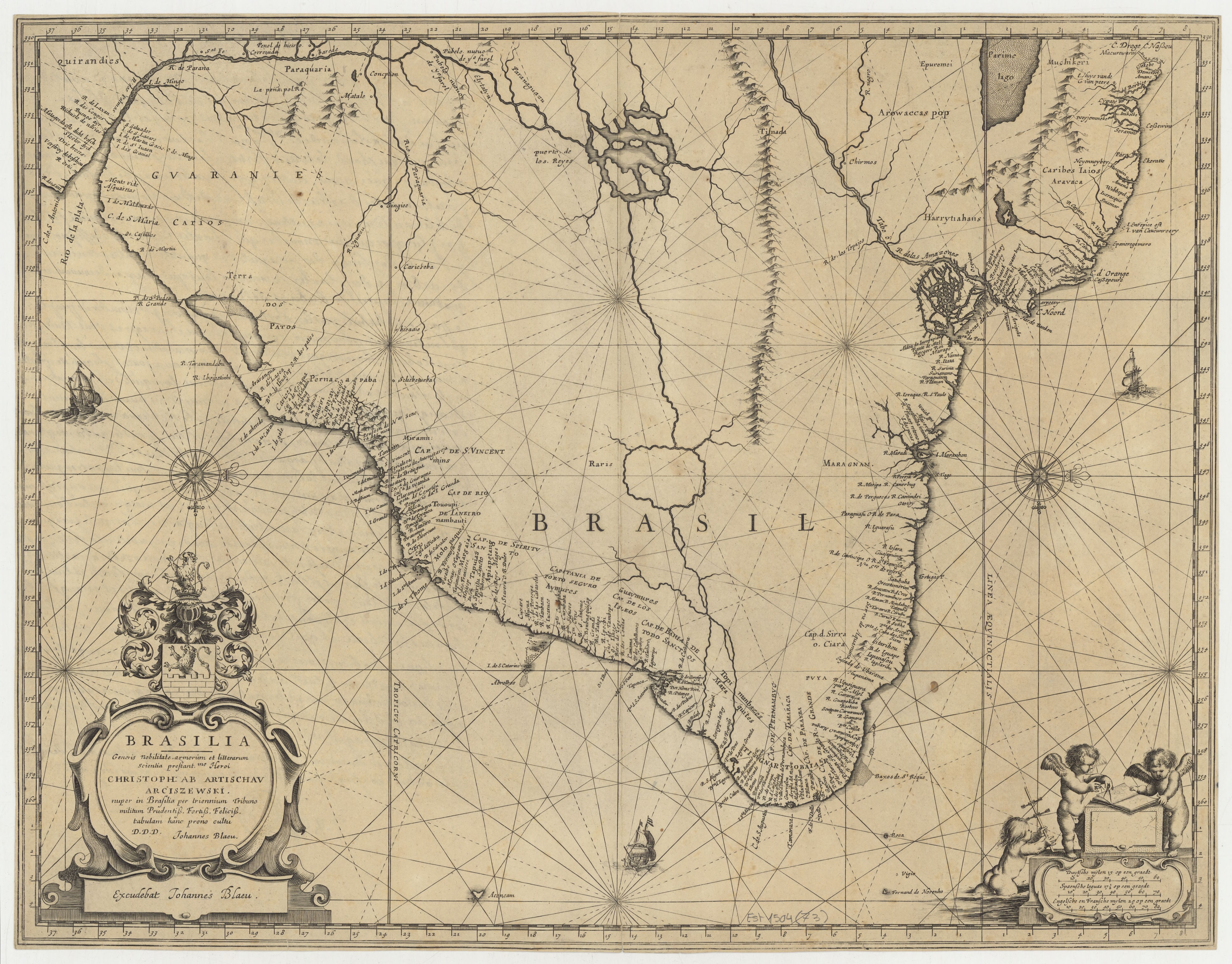
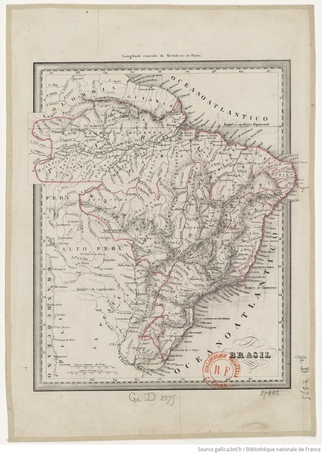
Dispossesions in the Americas

Dispossesions in the Americas

  • Home
  • Explore
  • About
  • Authors
  • Art
  • Bodies
  • Curricula
  • Cultural Heritage
  • Maps
  • Territories
Back to Explore
Map 1835

BRASIL

    Published: 1839

    • Download Image

    Peoples

    • HYABARY
    • HYUTAHY
    • HYRBA
    • TEFFE
    • COARY
    • PURUS
    • MUNDRUCANIA
    • TAPAJONIA
    • XINIGUTUTANIA
    • NOVABEYRA
    • ARINOS
    • PIRAQUIA
    • JACOBINA
    • PARANNI
    • TAPPIRAQUIA
    • JURUENNA
    • BORORANIA
    • CAYAYONIA
    • PARACATU
    • GOYAZEZ
    • CAMAPUAN

    Citation

    "Brasil." Map. 1839. Accessed July 20, 2023. https://gallica.bnf.fr/ark:/12148/btv1b84412309/f1.item.

    • Download Image

    Reading in Spanish

    Map 1835

    BRASIL

      Published: 1839

      • Download Image
      • Download Image

      Related Content

      Karte des Bifurcations Gebietes des ORINOKO und RIO NEGRO (AMAZONENSTROMS)

      Karte des Bifurcations Gebietes des ORINOKO und RIO NEGRO (AMAZONENSTROMS)

      Map 1881
      Costa Rica;Nicaragua;Guatemala y Honduras

      Costa Rica;Nicaragua;Guatemala y Honduras

      Map 1800 - 1801
      Vereinigte Provinzen am LA PLATA Oberperu und Paraguay

      Vereinigte Provinzen am LA PLATA Oberperu und Paraguay

      Map 1826
      RELACIÓN GEOGRÁFICA DE SANTIAGO TEJUPAN

      RELACIÓN GEOGRÁFICA DE SANTIAGO TEJUPAN

      Map 1500 - 1599
      LAS TRES OLAS DE COLONIZACION DE LA SNSM

      LAS TRES OLAS DE COLONIZACION DE LA SNSM

      Map 1900 - 1999
      Terra Indígena Atikum

      Terra Indígena Atikum

      Map 1996 - 2021
      PUEBLO YAGUA

      PUEBLO YAGUA

      Map 2021
      Property Ownership in 1900, Verapaz Guatemala

      Property Ownership in 1900, Verapaz Guatemala

      Map 1900

      Dispossessions in the Americas

      A project by

      University of Pennsylvania

      Copyright 2024

      With support from

      Mellon Foundation

      Site design & development

      Element 84

      Art Credits

      “Brasil.” Map. 1839. Accessed July 20, 2023. https://gallica.bnf.fr/ark:/12148/btv1b84412309/f1.item.

      Site Pages

      • Home
      • Explore
      • About
      • Authors
      • Art
      • Bodies
      • Curricula
      • Cultural Heritage
      • Maps
      • Territories