Peoples
- INDIAN HABITATIONS
Citation
Bellin, Jacques Nicolas. Plan of the Isle Grande & the adjacent parts of the Coast of Brazil. Map. London: Alexander Dalrymple, 1786. Accessed July 18, 2023. http://bdh.bne.es/bnesearch/detalle/bdh0000033697.
Mapa de las tierras indígenas - Pueblos
Map 2017
Mapa de la zona comprendida entre los rios Paraguay y Parana, con el noreste de Argentina y sur de Brasil
Map 1786 - 1791
Indian Creek
Map 1997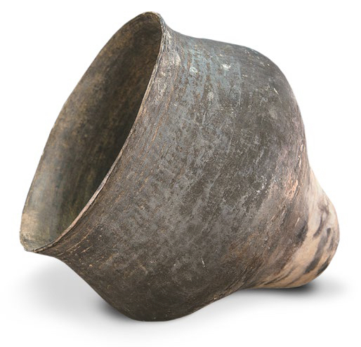
AM, Brazil - Pot
Artwork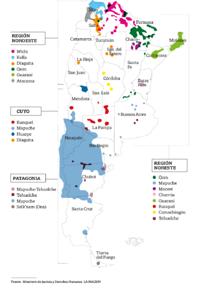
El mapa de los pueblos originarios
Map 2017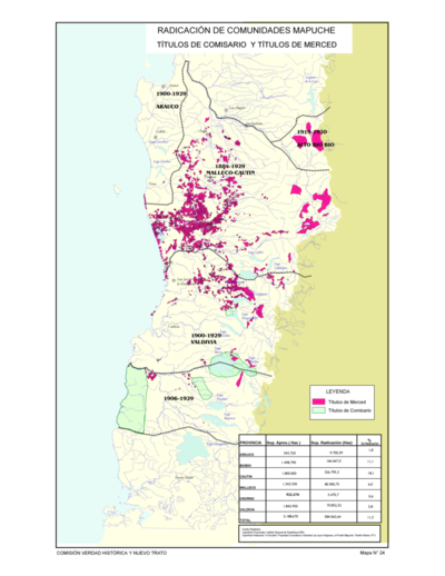
Radicación de Comunidades Mapuche. Titulos de Comisario y Titulos de Merced
Map 1884 - 1929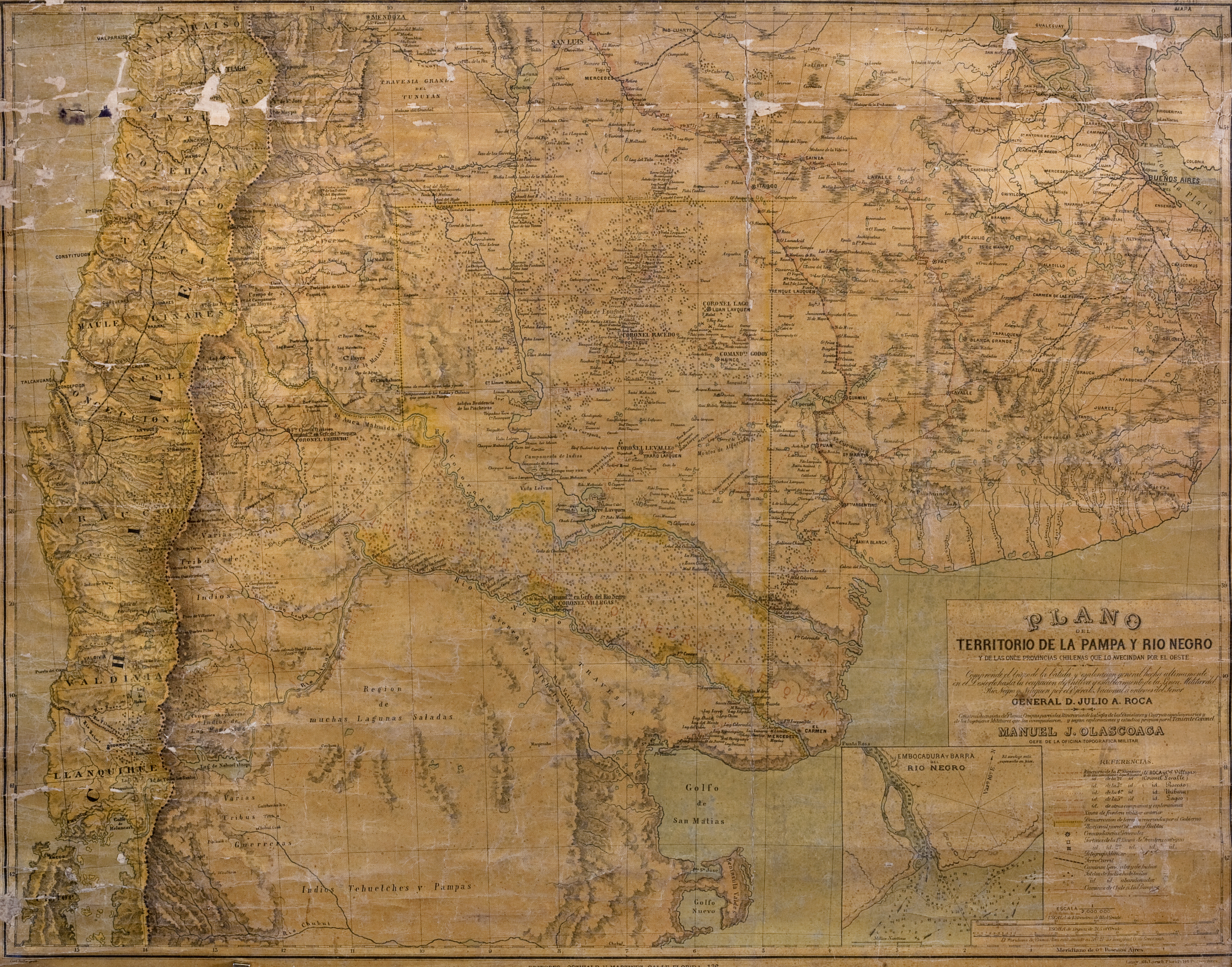
Plano del territorio de la Pampa y Río Negro, y de las once provincias chilenas que lo avecindan por el oeste
Map 1880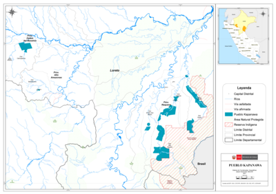
PUEBLO KAPANAWA
Map 2021