Dispossesions in the Americas

Dispossesions in the Americas

  • Home
  • Explore
  • About
  • Authors
  • Art
  • Bodies
  • Curricula
  • Cultural Heritage
  • Maps
  • Territories
Back to Explore
Map 1866

PLANTA DA MARCHA DO 2º CORPO DO EXERCITO BRAZILEIRO DO RIO URUGUAY AO PARANÀ em 1866

  • COMISSAO DE ENGENHEIROS DO 2º CORPOL, ET AL.

Published: 1871

  • Download Image

Peoples

  • ANTIGO POVO DAS MISSOES

Citation

Comissão de Engenheiros do 2º Corpol, Conrado Jacó de Niemeyer, Francisco Antônio Pimenta Bueno, Vicente Pereira Dias, and Eugenio Camargo. Planta da marcha do 2º corpo do exercito brazileiro do Rio Uruguay ao Paranà em 1866. Map. Rio de Janeiro: Lith. Impl. Ed. Rensburg, 1866. Accessed July 18, 2023. http://bdh.bne.es/bnesearch/detalle/bdh0000028385.

  • Download Image

Reading in Spanish

Map 1866

PLANTA DA MARCHA DO 2º CORPO DO EXERCITO BRAZILEIRO DO RIO URUGUAY AO PARANÀ em 1866

  • COMISSAO DE ENGENHEIROS DO 2º CORPOL, ET AL.

Published: 1871

  • Download Image
  • Download Image

Related Content

CARTE DE LA DEPENDANCE DU YAPOK JUSQU'A la Riviere des Amazones

CARTE DE LA DEPENDANCE DU YAPOK JUSQU'A la Riviere des Amazones

Map 1737
A New Chart of the Coast of Brazil from the Banks of St. Roque, to the Island of St. Sebastian;with the Islands and Soundings in the Offing

A New Chart of the Coast of Brazil from the Banks of St. Roque, to the Island of St. Sebastian;with the Islands and Soundings in the Offing

Map 1794
Geografia cultural del Tamaulipas prehispánico

Geografia cultural del Tamaulipas prehispánico

Map -5000 - 599
Ubicación histórica de los ópatas

Ubicación histórica de los ópatas

Map 1959
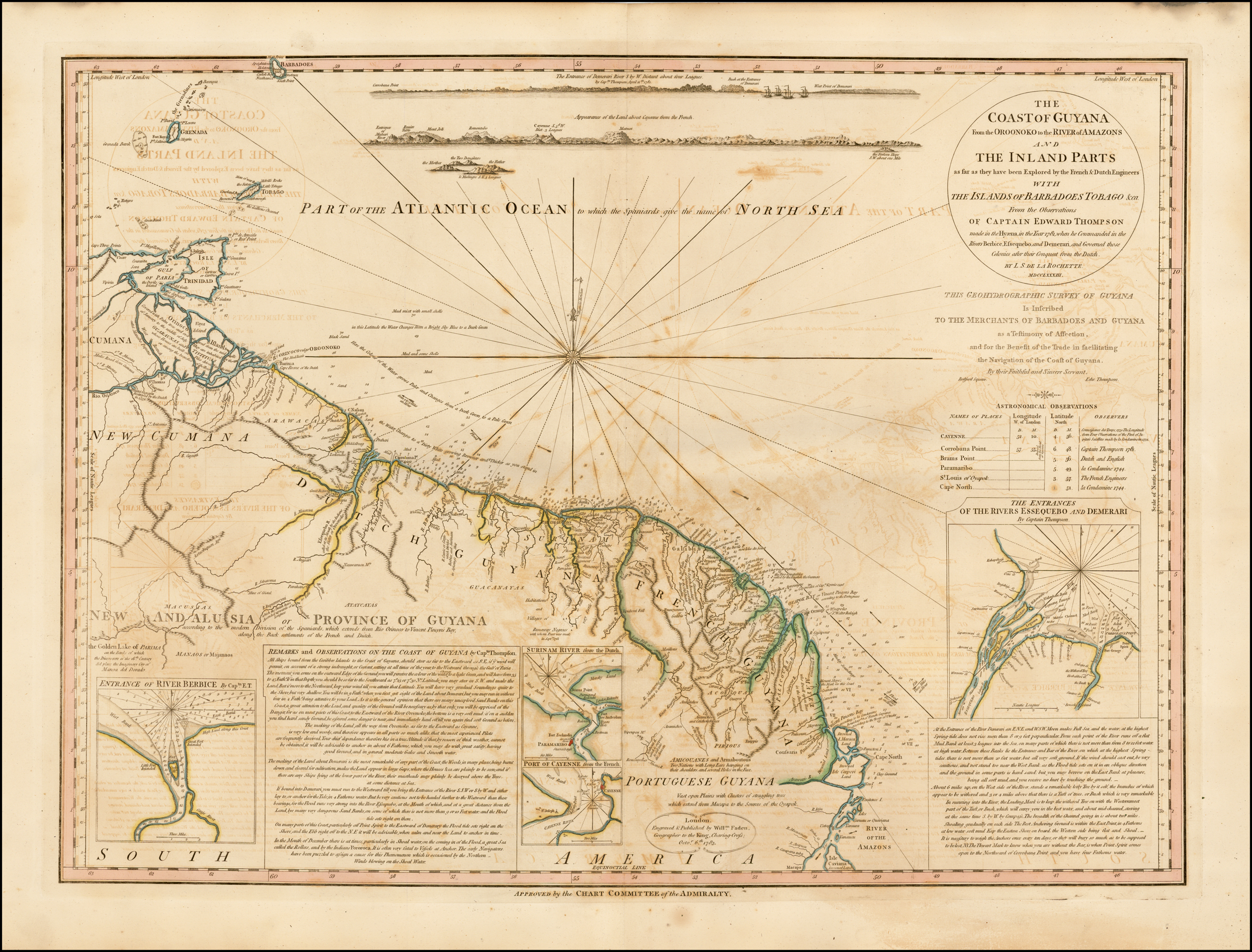
A New Chart of Guayana with the colonies of Cayenne;Surinam;&c.

A New Chart of Guayana with the colonies of Cayenne;Surinam;&c.

Map 1700 - 1799
La región litoral ecuatoriana

La región litoral ecuatoriana

Map -500 - 1551
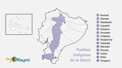
Grafico 1;Mapa de los 22 centros AWÁ;ubicados en las provincias del Carchi;Esmeraldas e Imbabura;en una extensión territorial que corresponde a 116;640 hectáreas;en su mayoría bosque primario;parcialmente intervenido pro madereras;mineras y palmi-cultores que amenazan su hábitat. Fuente: Plan de Vida de la Federación de Centros AWÁ del Ecuador –FCAE

Grafico 1;Mapa de los 22 centros AWÁ;ubicados en las provincias del Carchi;Esmeraldas e Imbabura;en una extensión territorial que corresponde a 116;640 hectáreas;en su mayoría bosque primario;parcialmente intervenido pro madereras;mineras y palmi-cultores que amenazan su hábitat. Fuente: Plan de Vida de la Federación de Centros AWÁ del Ecuador –FCAE

Map 2013
LINGUISTIC GROUPS OF OAXACA

LINGUISTIC GROUPS OF OAXACA

Map 1966

Dispossessions in the Americas

A project by

University of Pennsylvania

Copyright 2024

With support from

Mellon Foundation

Site design & development

Element 84

Art Credits

Comissão de Engenheiros do 2º Corpol, Conrado Jacó de Niemeyer, Francisco Antônio Pimenta Bueno, Vicente Pereira Dias, and Eugenio Camargo. Planta da marcha do 2º corpo do exercito brazileiro do Rio Uruguay ao Paranà em 1866. Map. Rio de Janeiro: Lith. Impl. Ed. Rensburg, 1866. Accessed July 18, 2023. http://bdh.bne.es/bnesearch/detalle/bdh0000028385.
Site Pages

  • Home
  • Explore
  • About
  • Authors
  • Art
  • Bodies
  • Curricula
  • Cultural Heritage
  • Maps
  • Territories