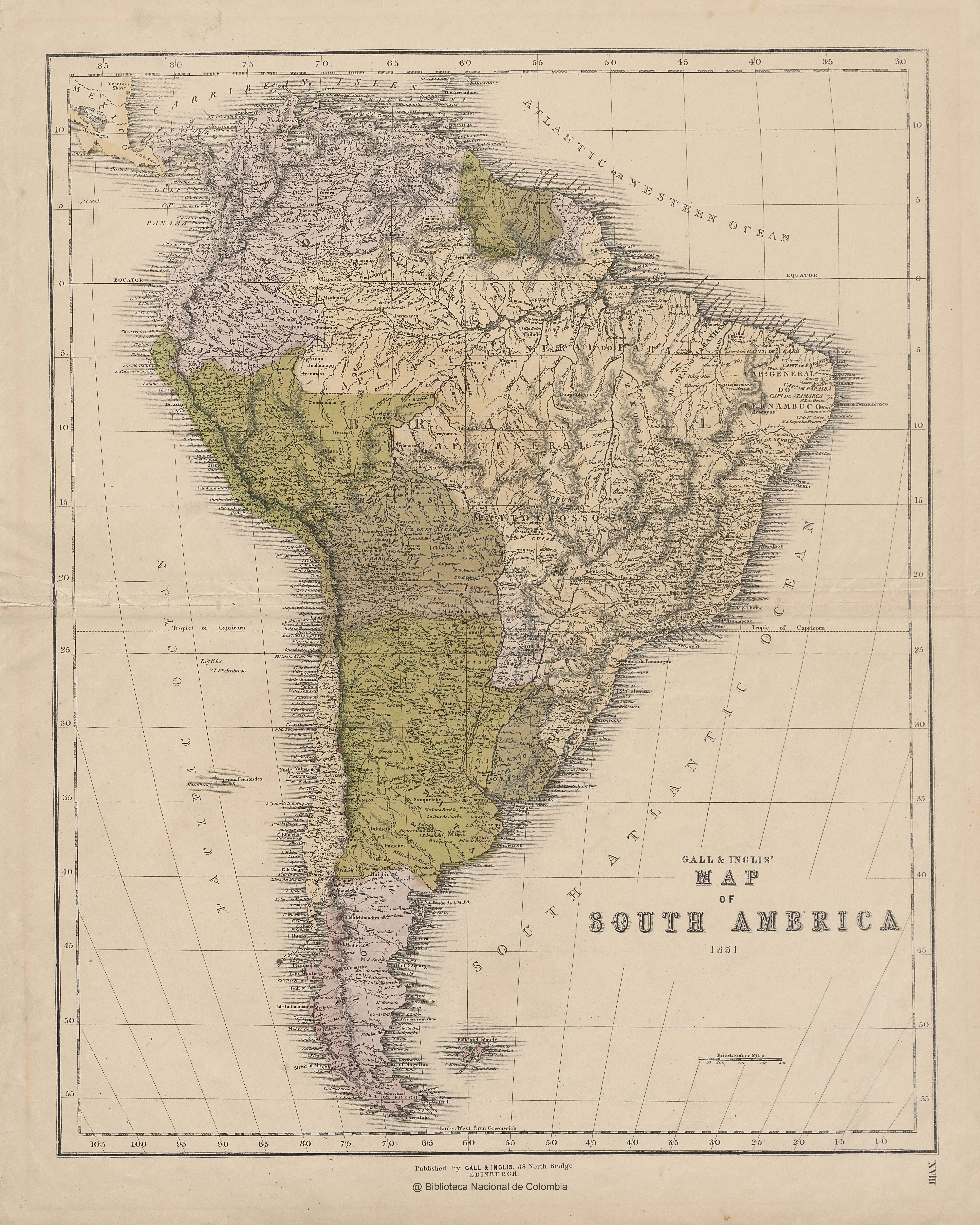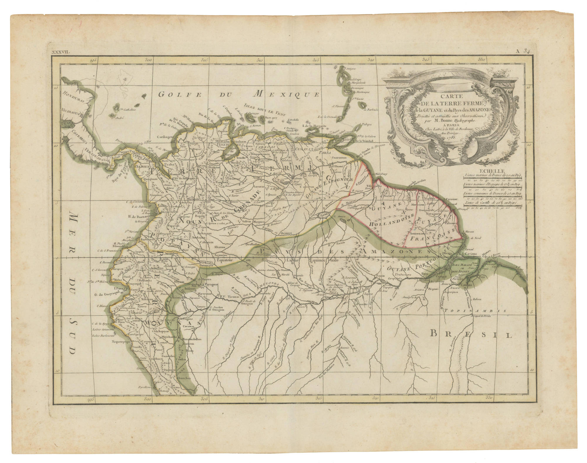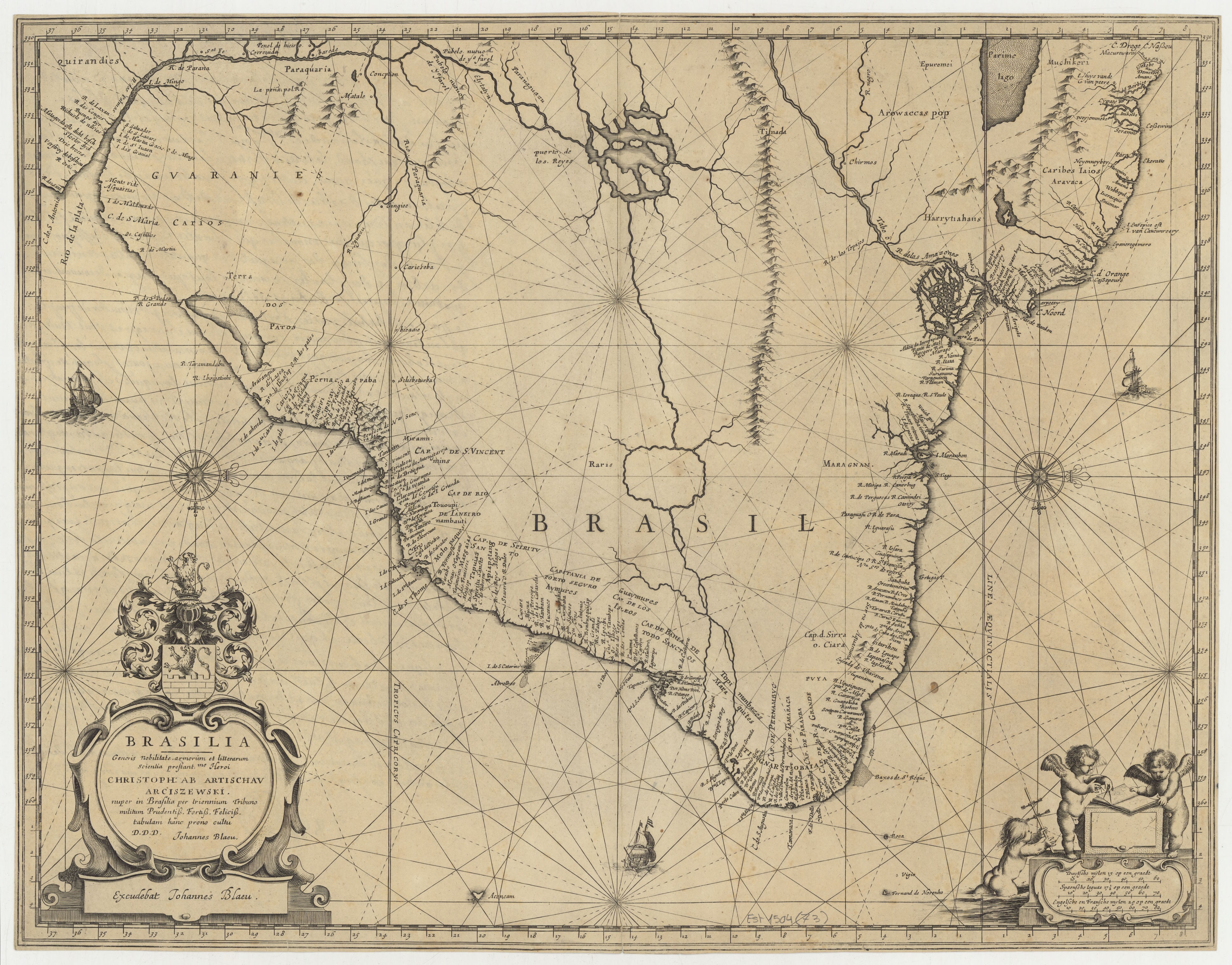
Peoples
- TAPUYES
- TUPIQUES
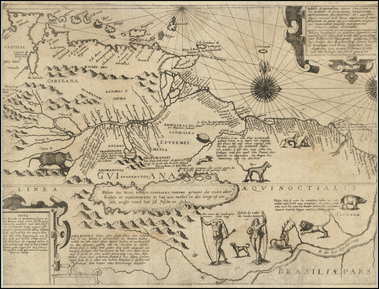
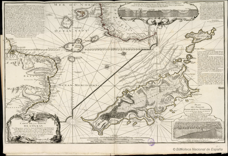
Citation
Buache, Philippe. "Carte de la Partie de l'Ocean." Map. In Cartes et Tables de la Géographie Physique ou Naturelle, by Philippe Buache and Guillaume Delisle, 11. Paris: Sur le Quay de l'Horloge, 1754. Accessed July 18, 2023. http://bdh.bne.es/bnesearch/detalle/bdh0000000759.