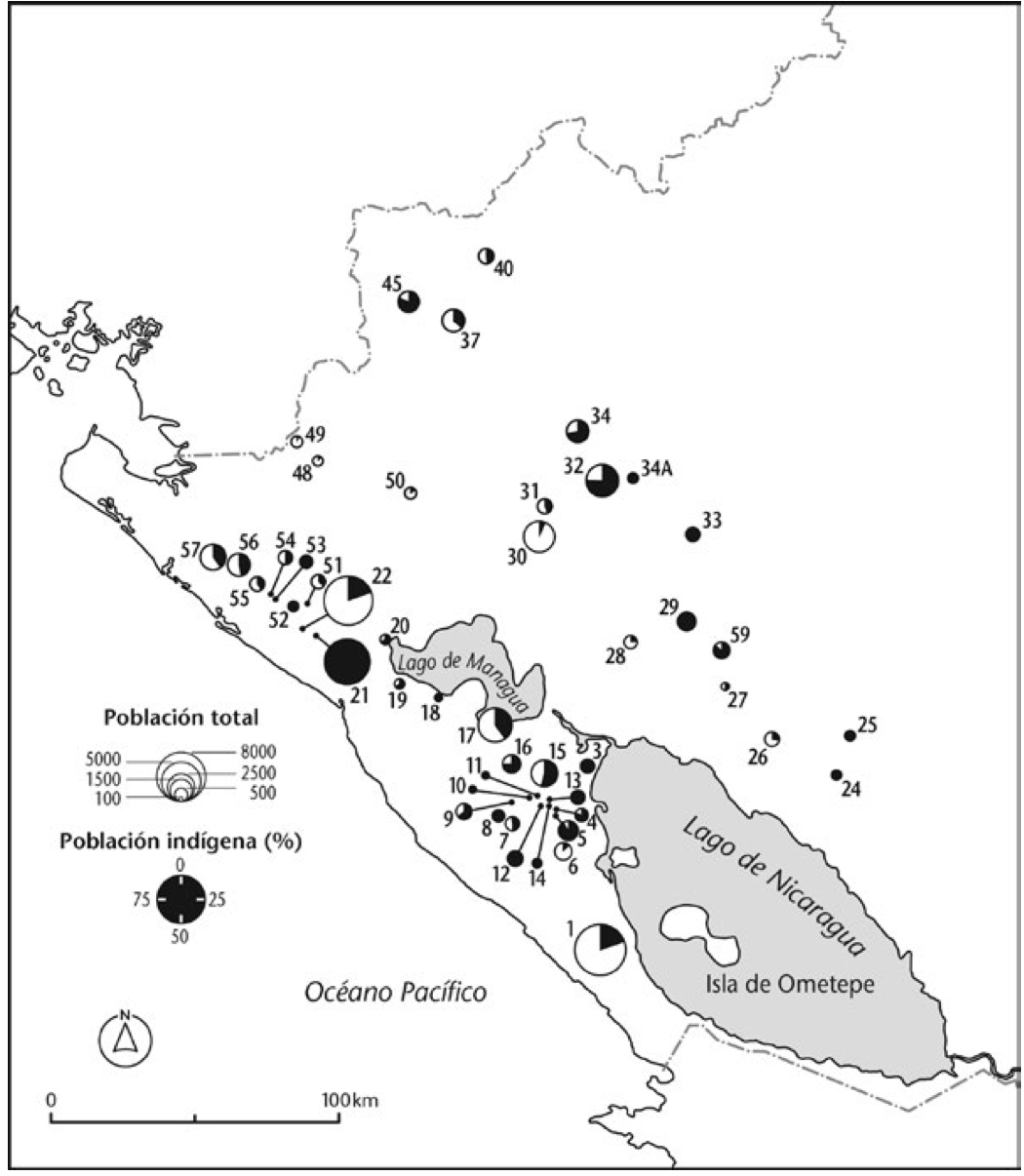
Peoples
- MAIAYUS
- GUAYAZIS
- TAPAYOSOS
- GUARANAGUACAS
- TAPUYER
Citation
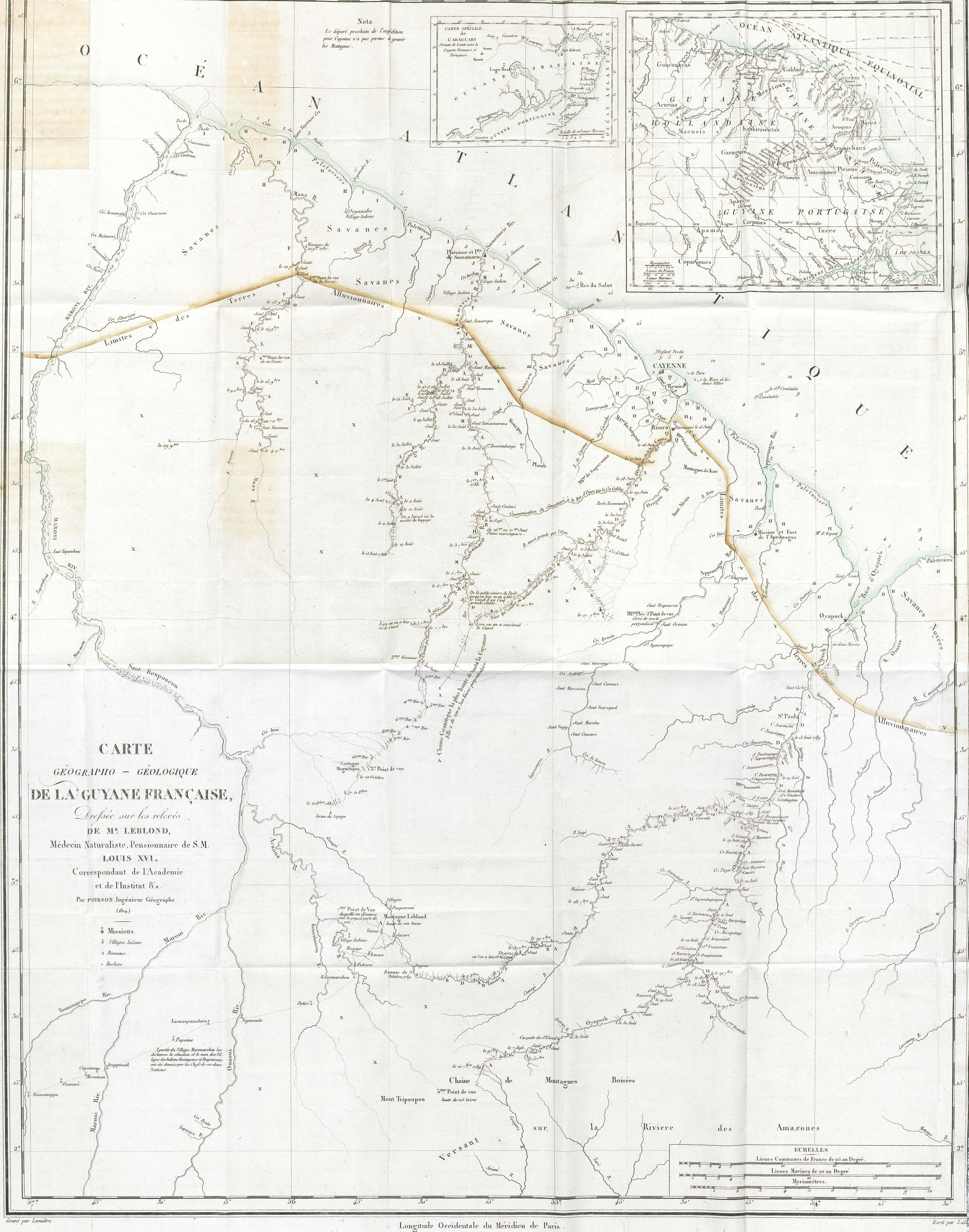
Moll, Herman. "A Map of Brasil and Part of La Plata." Map. In America, 254. Vol. 5 of Atlas Geographus or, a compleat System of Geography, ancient and modern. London: John Nutt, 1717. Accessed July 14, 2023. http://bdh.bne.es/bnesearch/detalle/bdh0000163462.
![[Carte manuscrite de la Guyana avec les Antilles jusqu'à la Martinique]](https://dnet8ble6lm7w.cloudfront.net/maps/CNT/CNT0160.jpeg)