Peoples
- OREMANAOS
- MAUHES
- MUNDURUCUS
- AROAQUIS
- UARAYEUS
- UARUPAS
- PARENTINTINS
- UHAYHAS
- CABAHIBAS
- CHAVANTES
- ARACIS
- BOROROS
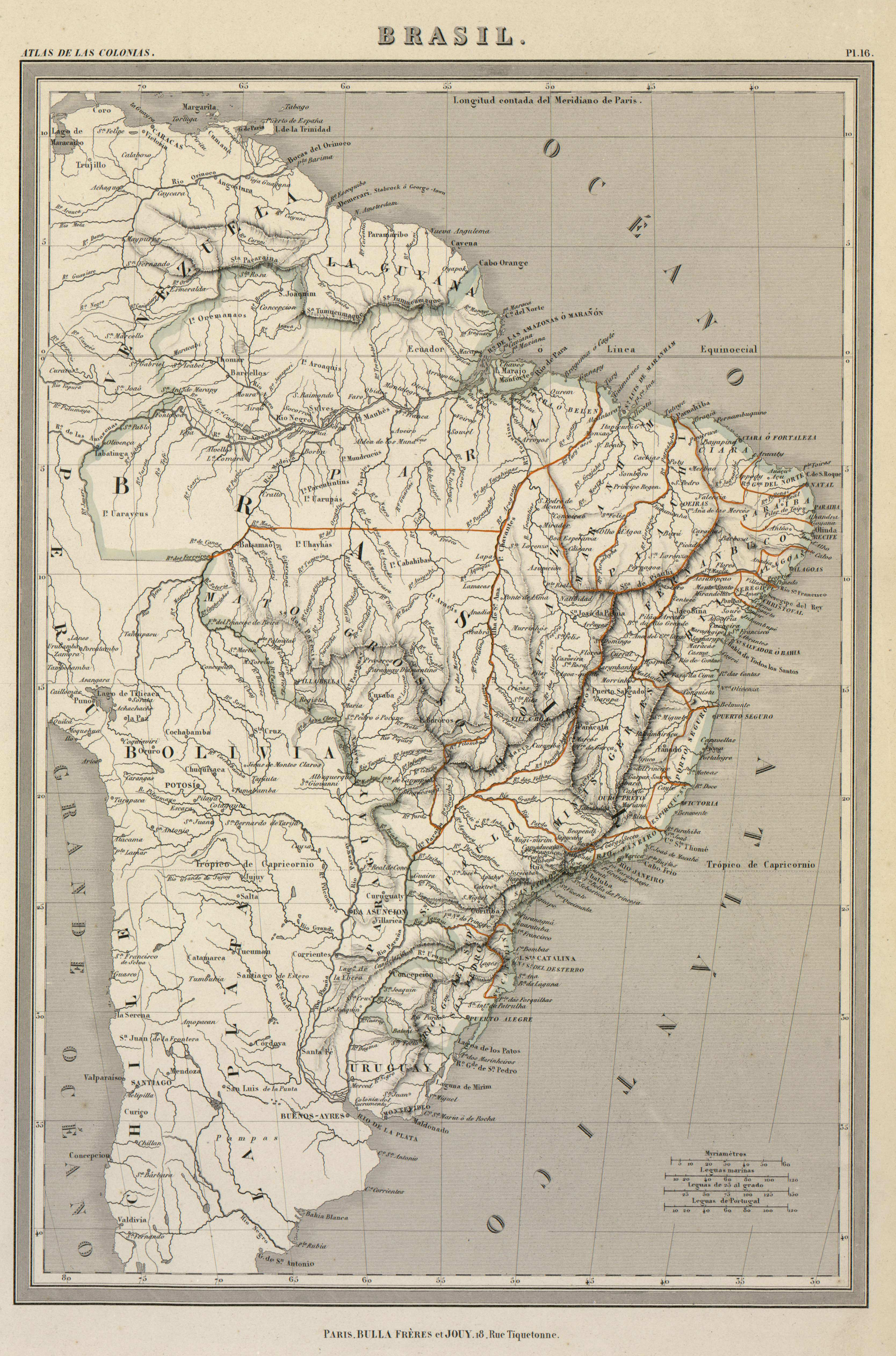
Citation
DUFOUR, AUGUSTE-HENRI. "Brasil." Map. In Atlas de Géographie élémentaire, by Auguste-Henri Dufour, 16. Paris: Bulla Frères et Jouy, n.d. Accessed July 11, 2023. http://bdh.bne.es/bnesearch/detalle/bdh0000001461.