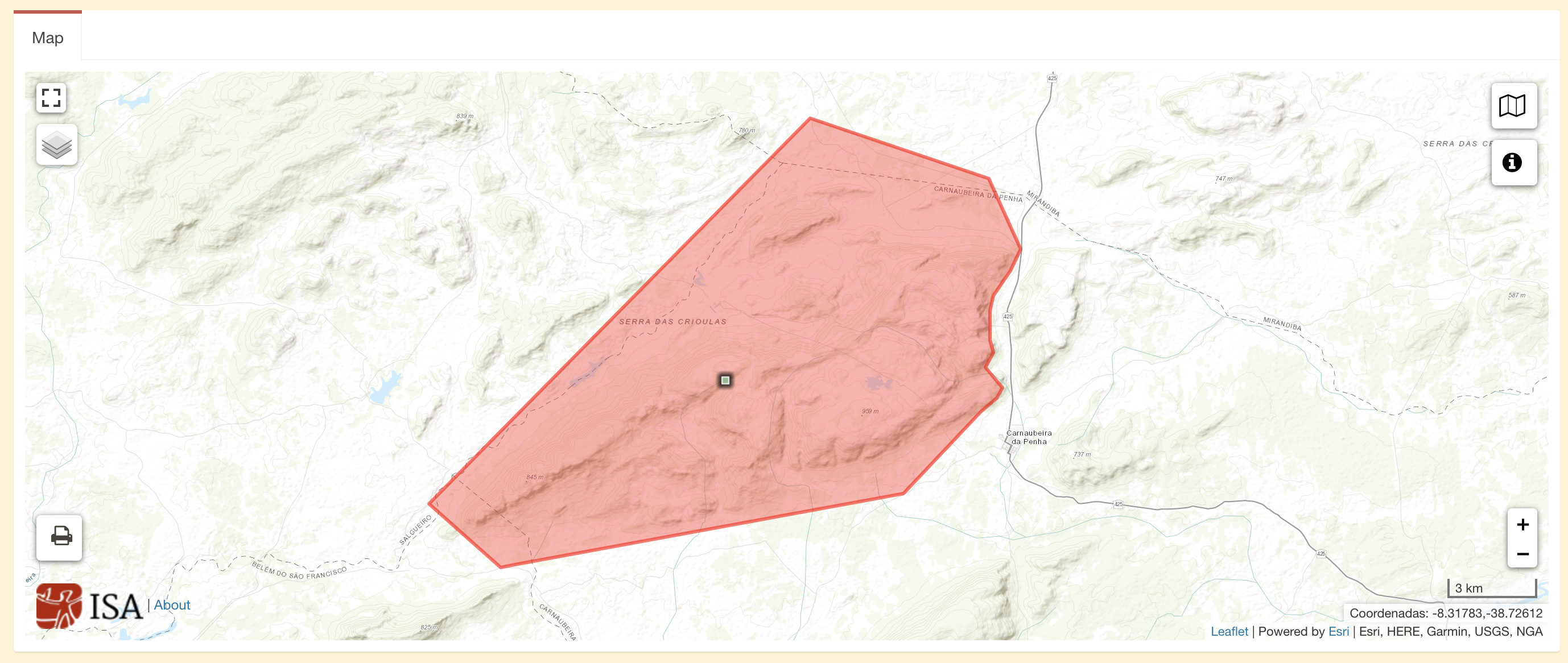
Peoples
- ATIKUM
Citation
Instituto Socioambiental. "Terra Indígena Atikum." Map. Terras Indígenas no Brasil. June 10, 2021. https://terrasindigenas.org.br/pt-br/terras-indigenas/3605.
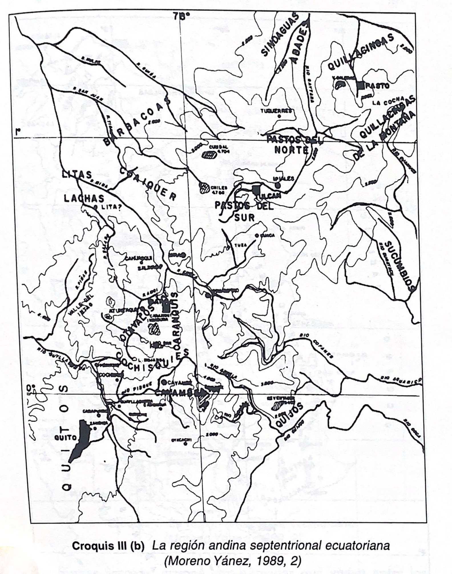
Croquis III. (b) La región andina septentrional ecuatoriana (Moreno Yanez;1989;2)
Map -500 - 1530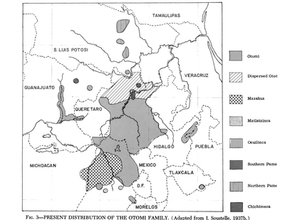
Present Distribution of the Otomi Family
Map 1969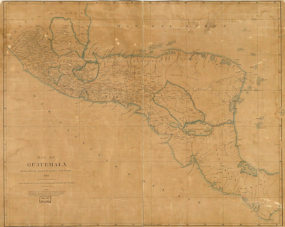
Map of Guatemala: reduced from the survey in the archives of that country.
Map 1826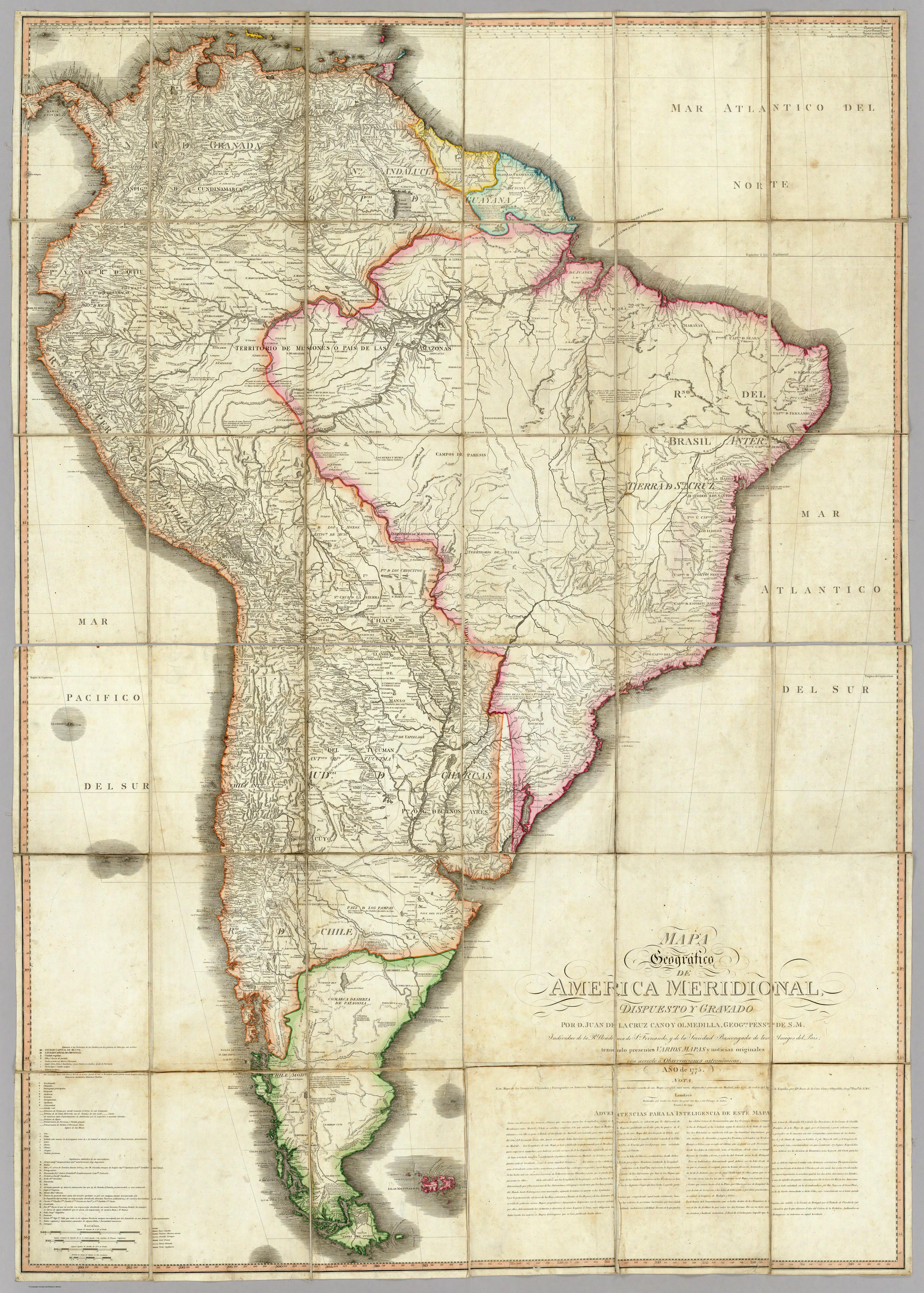
MAPA Geográfico DE AMERICA MERIDIONAL
Map 1775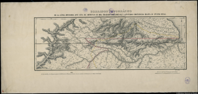
BORRADOR TOPOGRÁFICO DE LA LÍNEA DIVISORIA, QUE CITA EL ARTÍCULO 12º DEL TRATADO PRELIMINAR, Y AJUSTADAS DISTANCIAS HASTA SU PUNTO FINAL
Map 1800 - 1850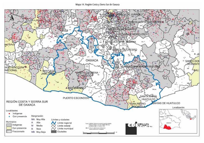
REGIÓN COSTA Y SIERRA SUR DE OAXACA
Map 2000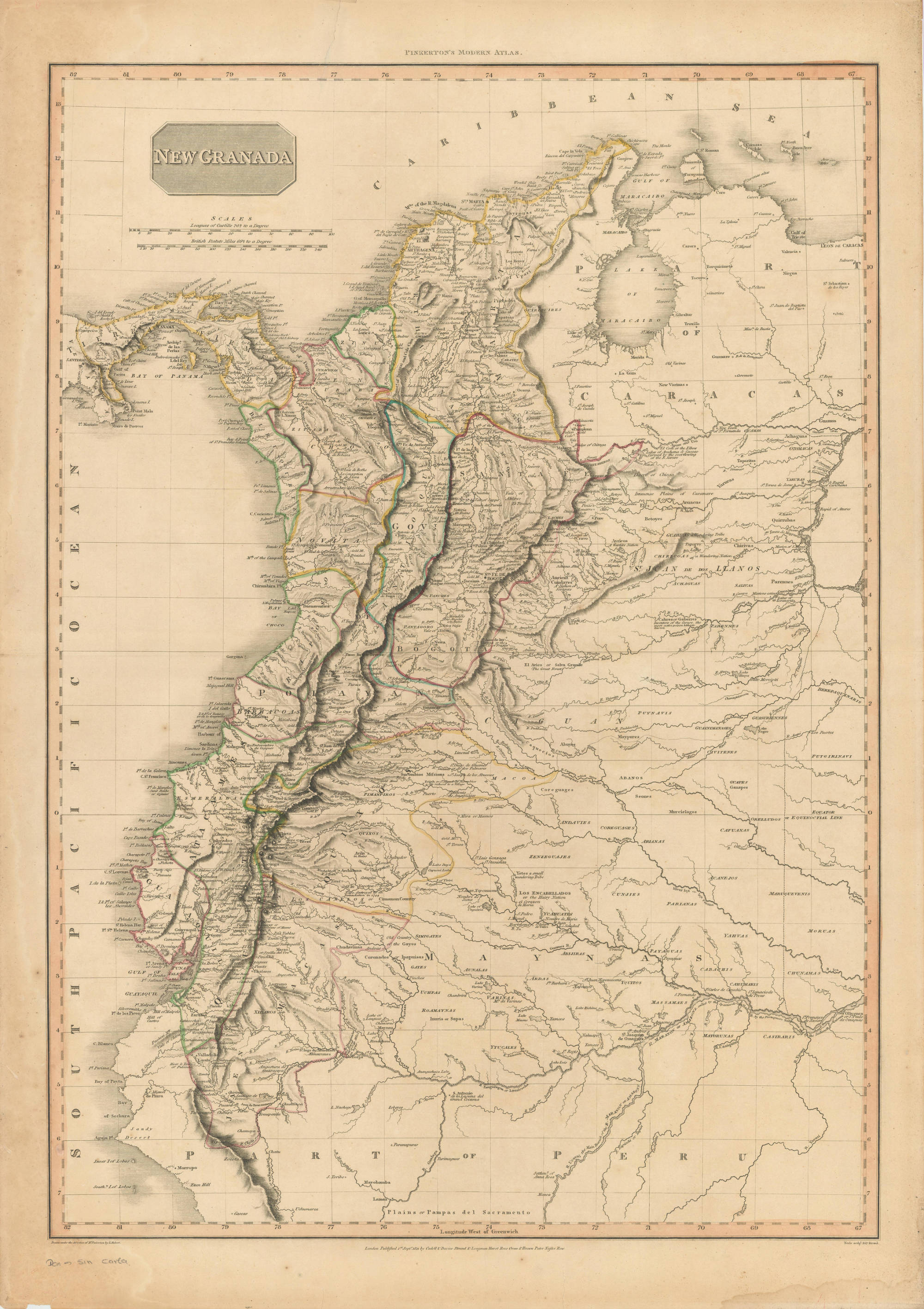
NEW GRANADA
Map 1811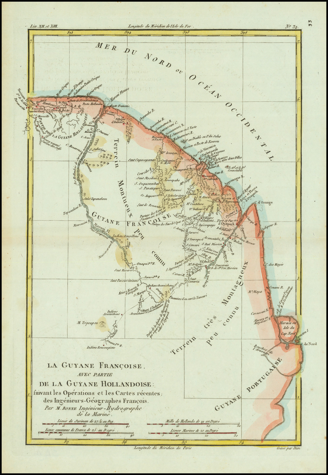
La Guyane Francoise, avec partie de la Guyane Hollandoise: suivant les Opérations et les Cartes récentes;des Ingênieurs-Géographes François.
Map 1787