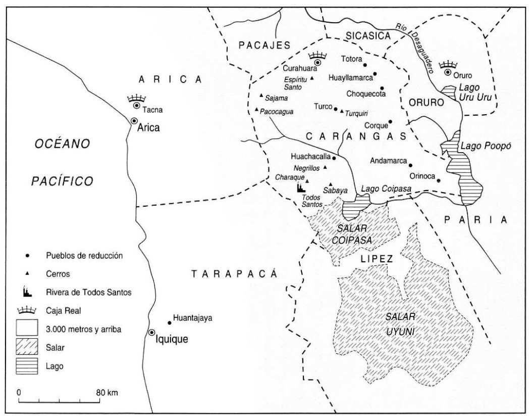
Peoples
- CARANGAS
Citation
Gavira-Marquez, M. C. (2008). Población indígena, minería y sublevación en Carangas: La caja real de Carangas y el mineral de Huantajaya, 1750-1804. Instituto Francés de Estudios Andinos - CIHDE.
![El primer hombre no fue hombre, fue mujer [The First Man Wasn't a Man, but a Woman]](https://dnet8ble6lm7w.cloudfront.net/art_sm/APER043.png)
El primer hombre no fue hombre, fue mujer [The First Man Wasn't a Man, but a Woman]
Artwork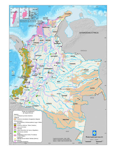
Mapa de diversidad étnica
Map 2012
Stone Butch
Artwork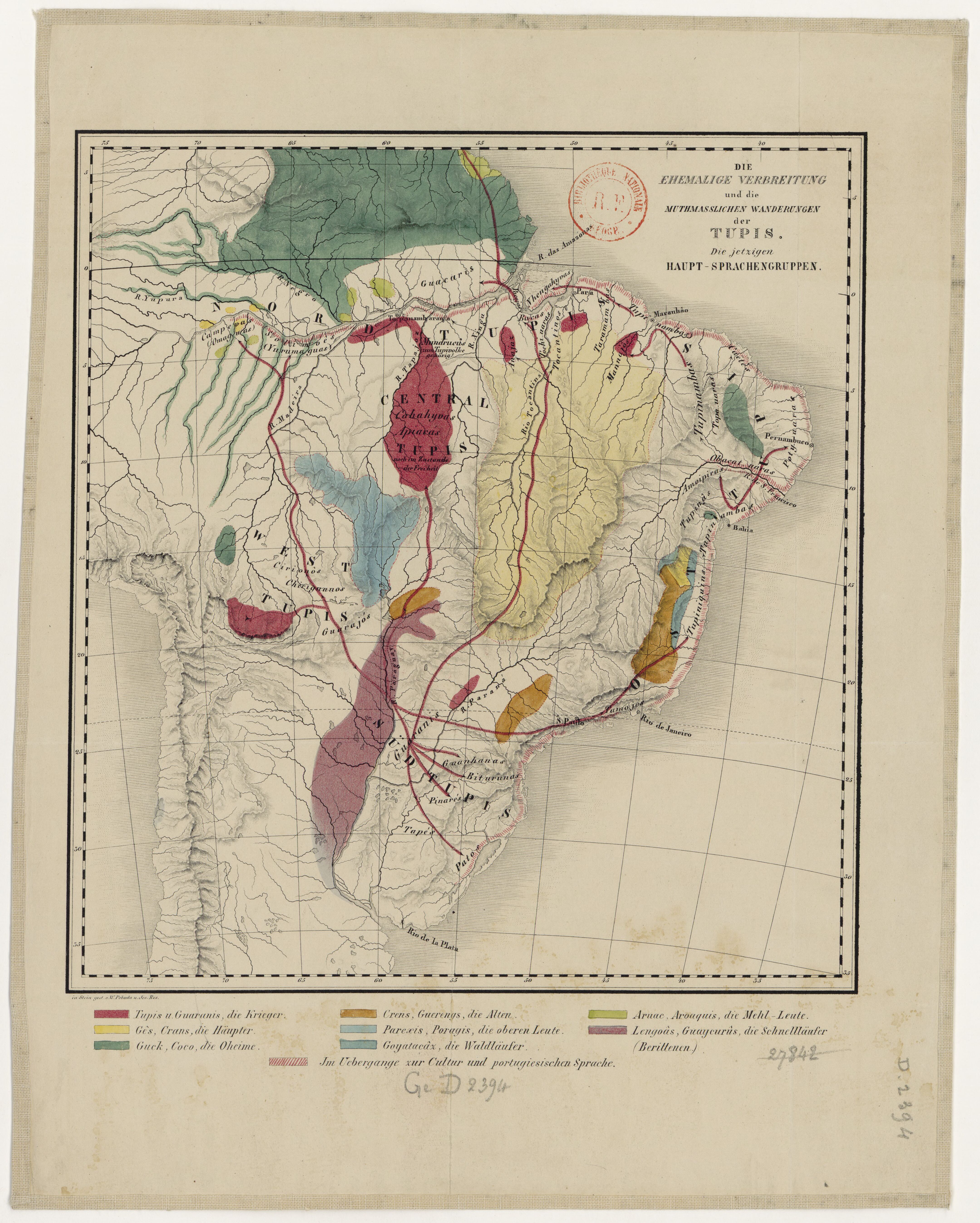
DIE EHEMALIGE VERBREITUNG und die MUTHMASSLICHEN WANDERUNGEN der TUPIS. Die jetzigen HAUPT-SPRACHENGRUPPEN.
Map 1875
Ethnic Groups Localization Map
Map 2014
Guarani Retã 2008: Pueblos Guaraníes en las fronteras Argentina, Brasil y Paraguay
Map 2008
"Territorio Indígena Brunka de Boruca"
Map 2010
"Carta Maritima del Reyno de Tierra Firme ú Castilla del Oro : Comprehende el Istmo y Provincia de Panamá, las Provincias de Veragua, Darien y Biruquete"
Map 1729 - 1776