Peoples
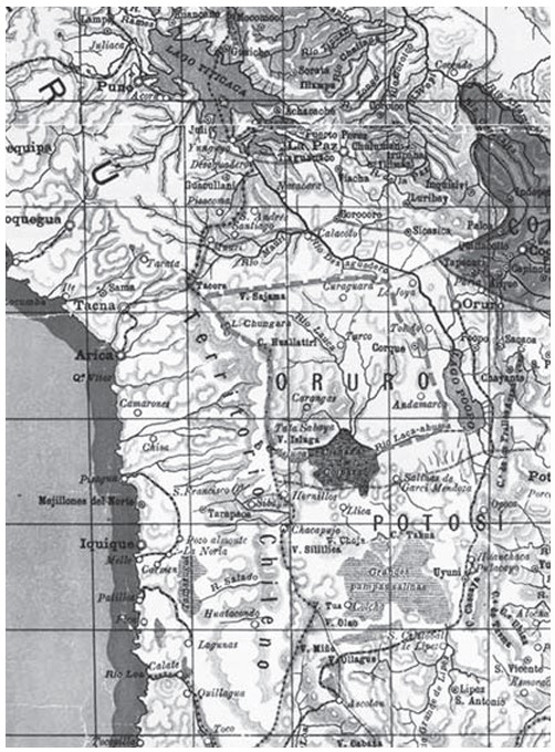
- CARANGAS
Citation
Idiáquez, E. (2000 [1894]). «Mapa Elemental de Bolivia». En: INSTITUTO GEOGRÁFICO MILITAR, La Paz
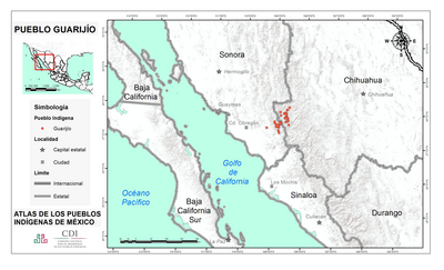
PUEBLO GUARIJIO
Map 2020
Carta del Virreynato de Santafe de Bogota: Copia de la de Mr. D'Anville
Map 1776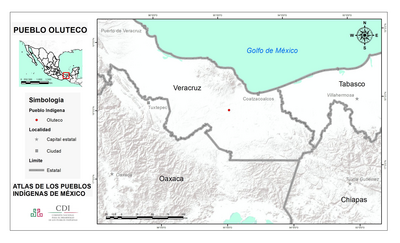
PUEBLO OLUTECO
Map 2020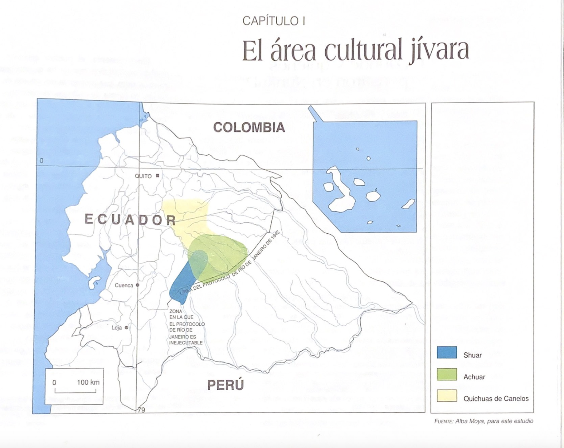
El área cultural jívara
Map 1997
PUEBLO RESÍGARO
Map 2021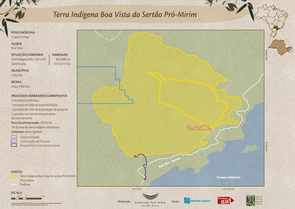
Terra Indígena Boa Vista do Sertão Pró-Mirim
Map 2012
REPRESENTACIÓN EN FORMA DE TRÍPTICO DE LAS TIERRAS DE TEPAL;CUENCA;CORRESPONDE AL EXPEDIENTE PROMOVIDO POR POSESIÓN DE TIERRAS ENTRE LOS INDÍGENAS DE SANTA ANA DE PICHACAY CONTRA MARÍA Y FRANCISCA CAZAR
Map 1828
Serie Fatherland / Padre Patria
Artwork