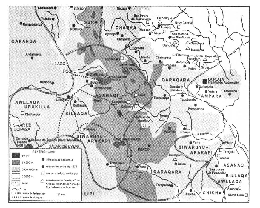
Peoples
- QUILLACAS
- ASANAQUES
- CHICHAS
- QHARAQHARA
- YAMPARAES
- LIPI
- URUKILLA
- CARANGAS
- CHARKAS
Citation
Abercrombie, T. ([1998] 2006). Caminos De la memoria y del poder. Etnografía e historia de una comunidad andina. IFEA, IEB, ASDI.
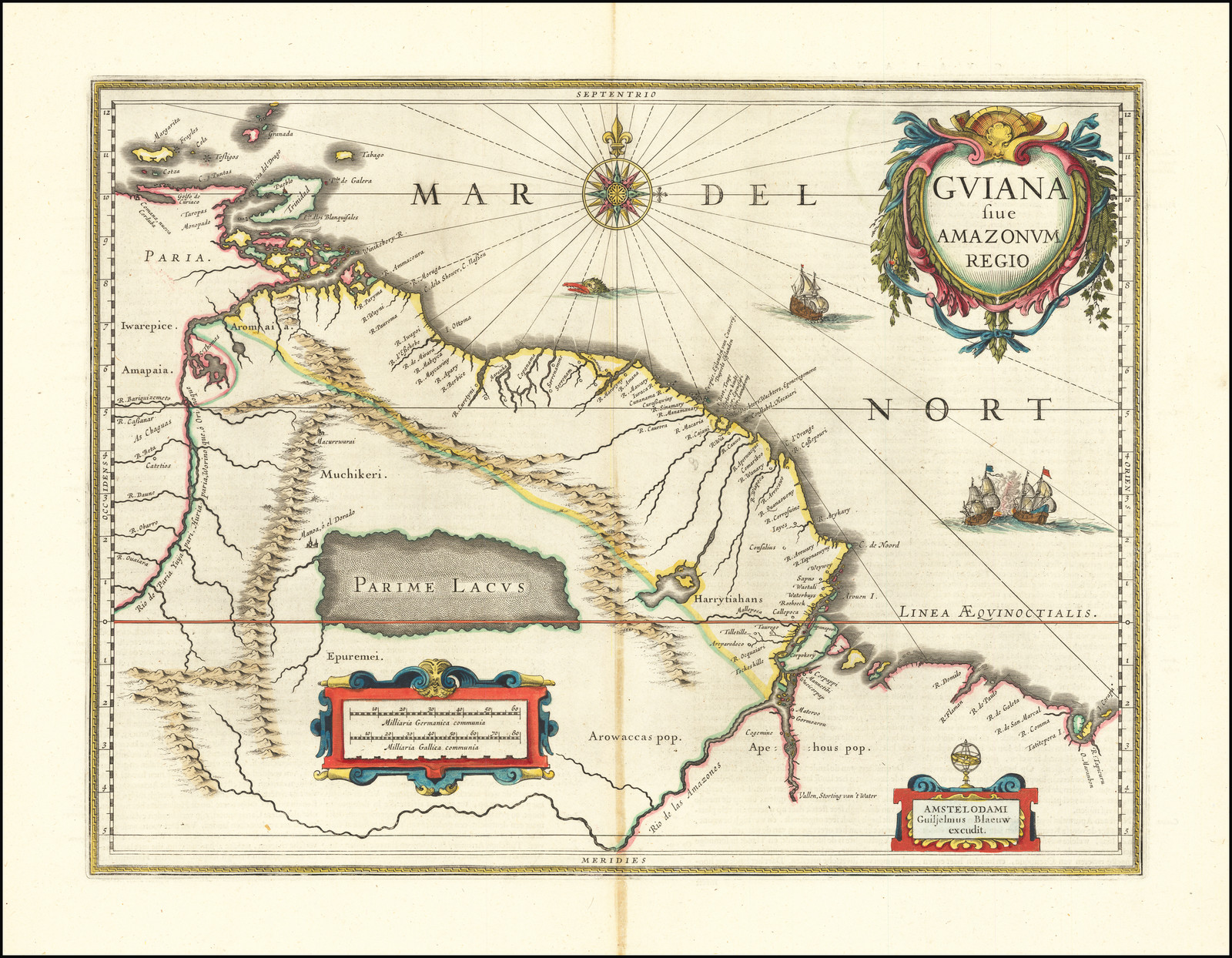
GUIANA sive AMAZONUM REGIO
Map 1600 - 1699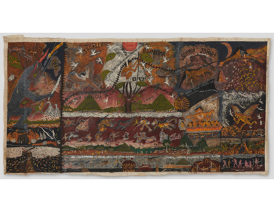
Huitoto Cosmovision
Artwork!["Senza titolo" ["Untitled"]](https://dnet8ble6lm7w.cloudfront.net/art_sm/ABRA015.png)
"Senza titolo" ["Untitled"]
Artwork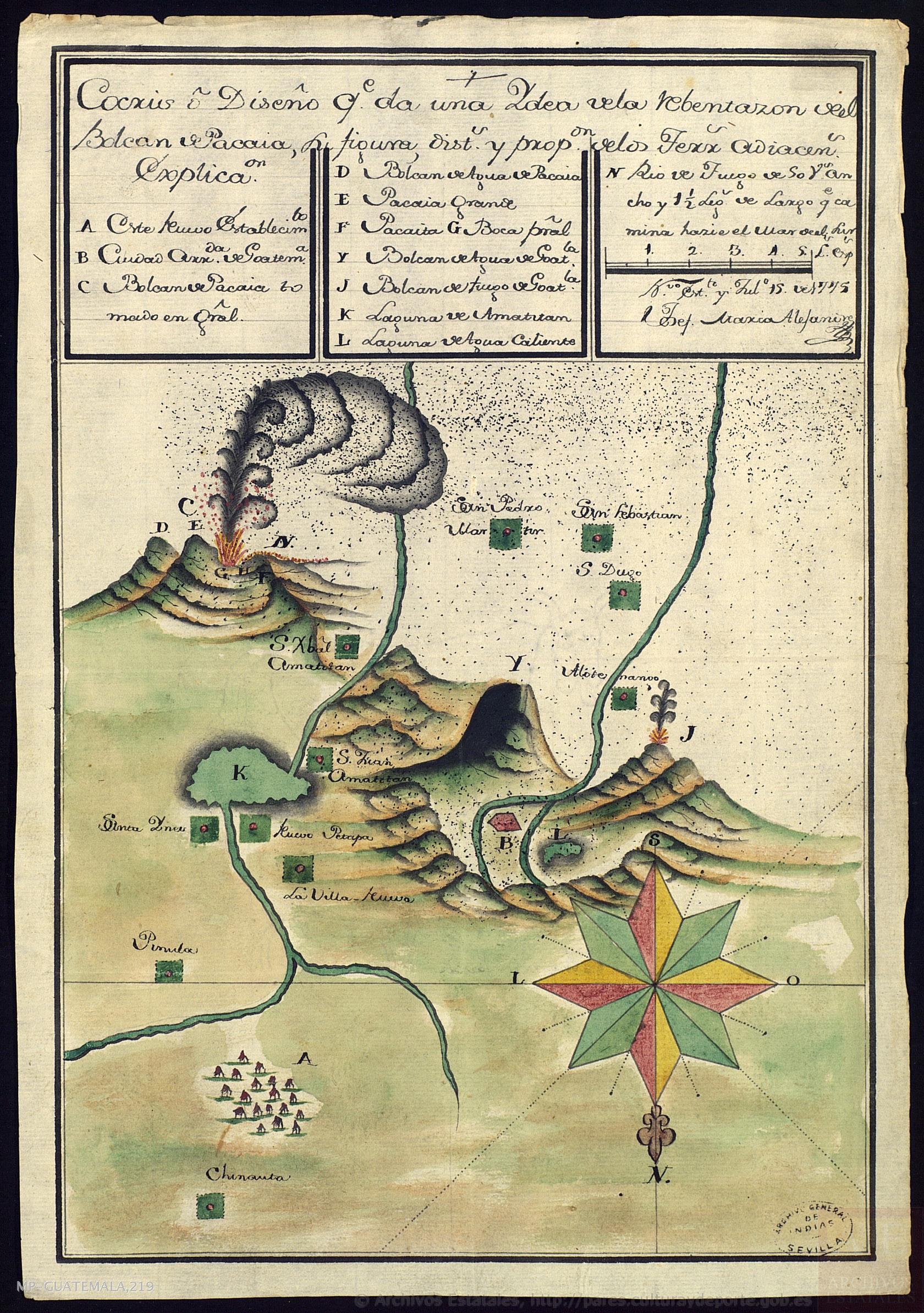
Cocris o Diseño que da una Ydea de la Rebentazón deel Bolcán de Pacaia, su figura, distancias y proporción de los terrenos adiacentes
Map 1700![Bogando [Rowing]](https://dnet8ble6lm7w.cloudfront.net/art_sm/APER024.png)
Bogando [Rowing]
Artwork
Juan Santos Atahualpa
Artwork
GUIANA AND VENEZUELA
Map 1900 - 1999
Plan pour ouvrir une communication de la mer du Nord á la mer du Sud par la riviére San Juan;le lac de Nicaragua et la baie del Papagaye.
Map 1700