Peoples
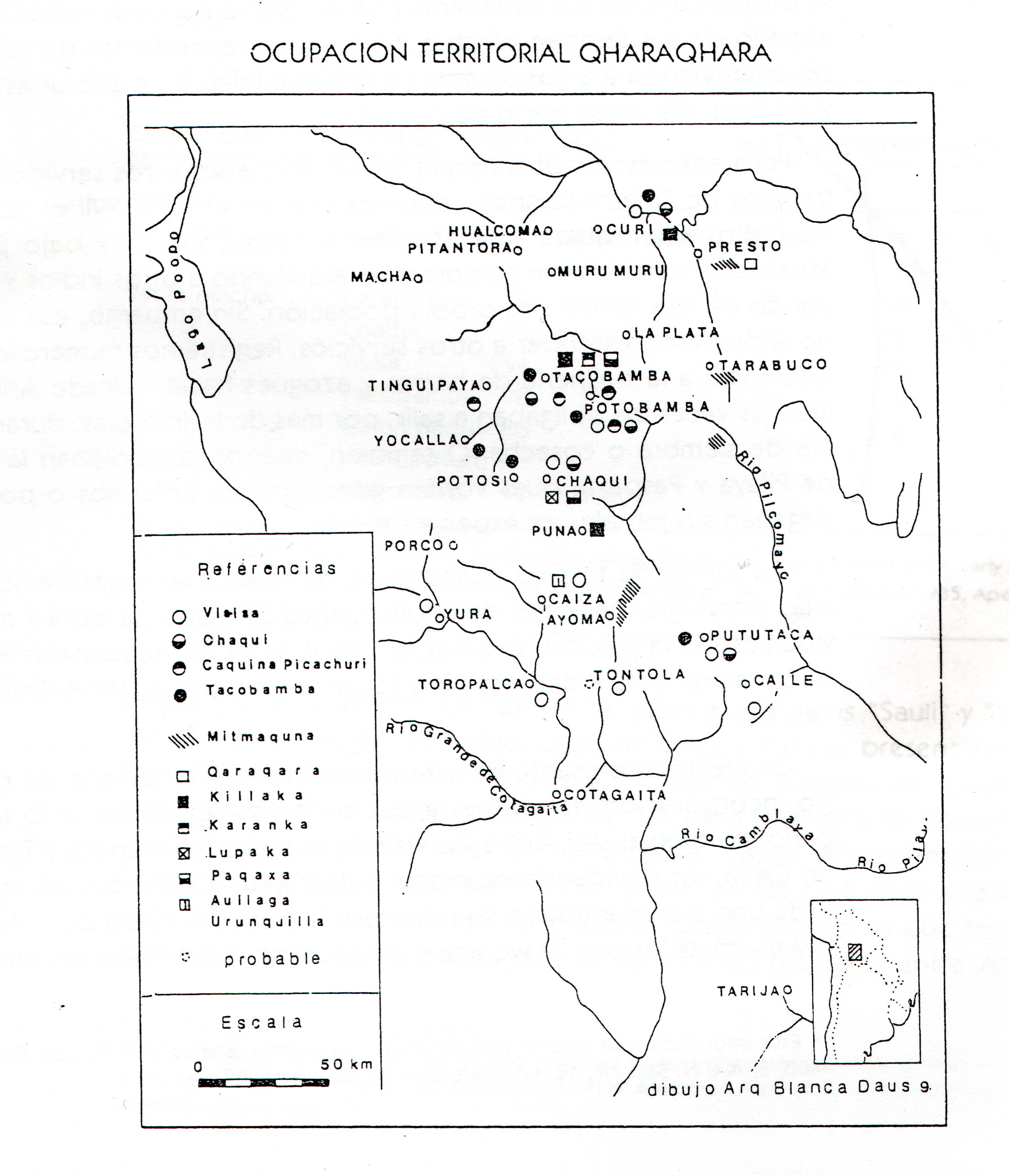
- QHARAQHARA
- KILLAKAS
- CARANGAS
- LUPACAS
- PACAJES
- URUQUILLAS
Citation
Del Rio, M. (1995). Estrategias andinas de supervivencia: El control de recursos en Chaquí. En A.-M. Presta (comp.), Espacio, etnias, frontera. Ediciones ASUR 4.
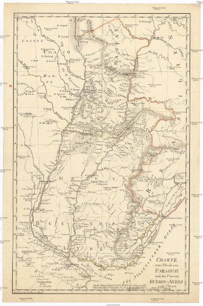
CHARTE eines Theils von PARAGUAY und der Provinz BUENOS-AYRES
Map 1809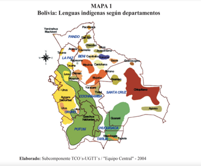
Lenguas indígenas según departamentos
Map 2004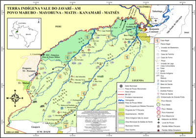
Terra Indígena Vale do Javarí
Map 2000 - 2099
MAPA 1: RIO ATRATO Y PUEBLOS DE INDIOS CUNA-CUNAS
Map 1759
CARTE DE LA CONFÉDÉRATION ARGENTINE
Map 1873
Muchitlán, Tlaxcala, Mexico
Map 1582
Missiones;quas Provincia Societatis Jesu Paraquarica excolit ad flumina Parana et Urugvay ex natione Guaranica accurate delineatice a quodam ejusdem Missionario Veterano;anno 1744
Map 1744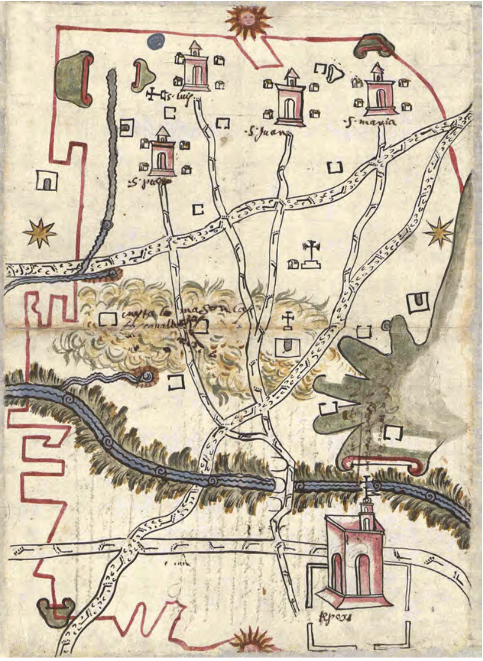
MAPA DE TEPEJÍ DEL RÍO
Map 1500 - 1599