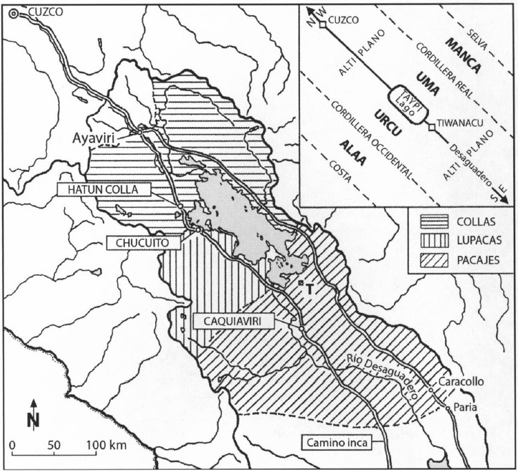
Peoples
- COLLAS
- LUPACAS
- PACAJES
Citation
Domínguez, N. (2014). The "puquina" language in the early colonial southern Andes (1548-1610): A geographical analysis. Journal of Latin American Geography, 13(2), 181-206.
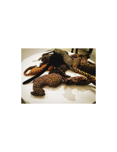
Collection of different versions of the Peru Jaguar, Peru Otorongo, and the “Perucitos”
Artwork
Cartografía hispano colonial de Chile
Map 1500 - 1800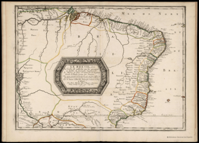
LE BRESIL, dont la Coste est posse dée par les portugais et divisée en Quatorze Capitanieries.
Map 1656
The Spanish and Musketor shore and the bay of Honduras and the islands adjacent
Map 1735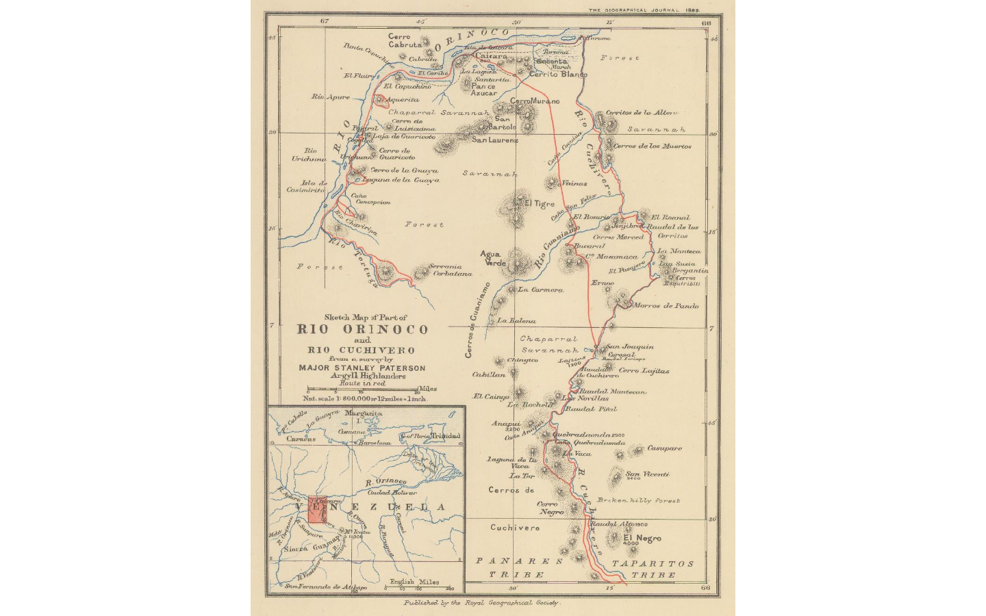
Sketch map of part of RÍO ORINOCO and RIO CUCHIVERO from a survey by MAJOR STANLEY PATERSON
Map 1896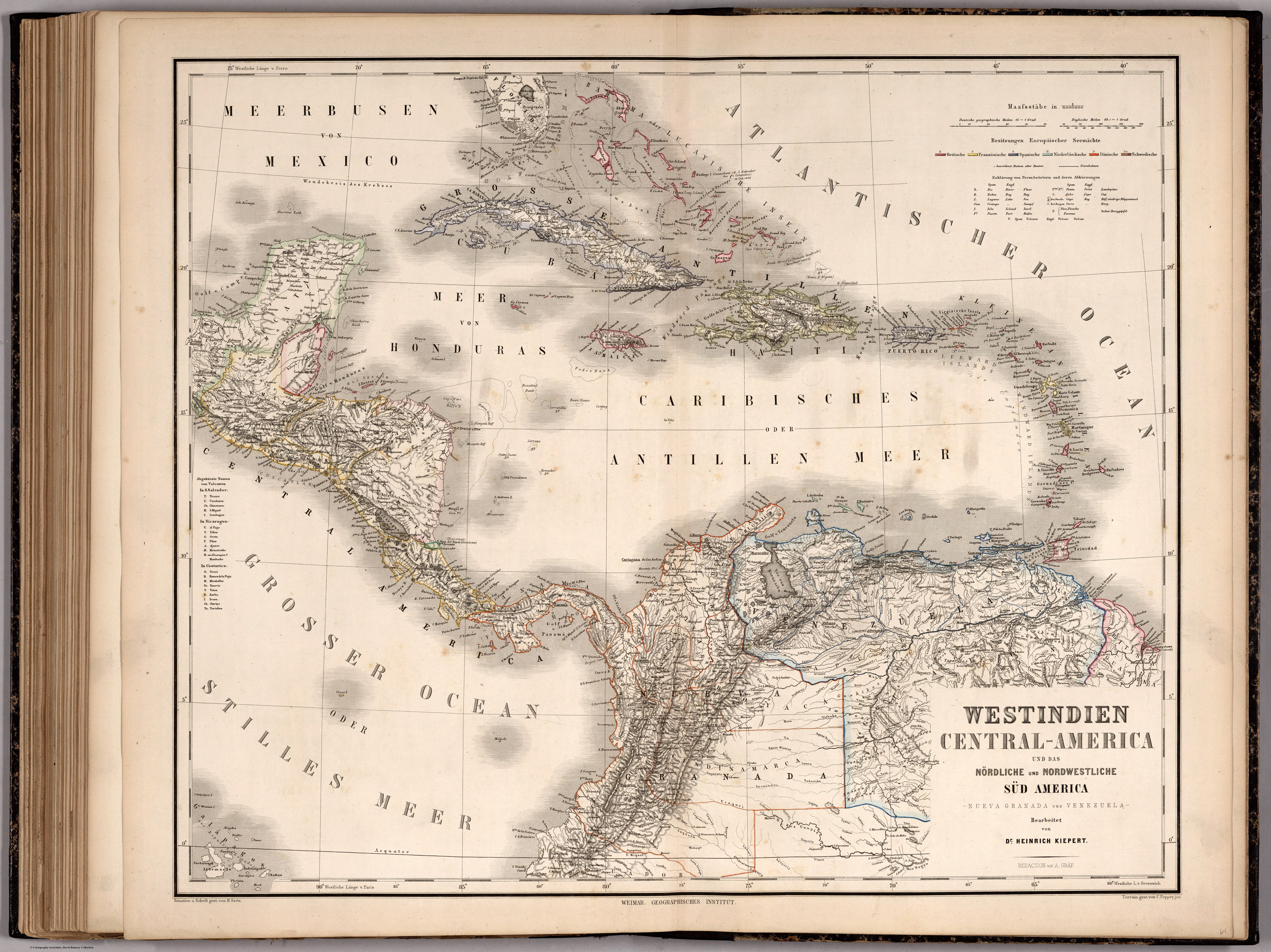
WESTINDIEN CENTRAL-AMERICA UND DAS NOERDLICHE UND NOERDWESTLICHE SUED AMERICA;NUEVA GRANADA UND VENEZUELA
Map 1866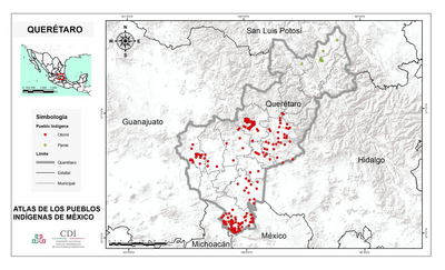
QUERÉTARO
Map 2015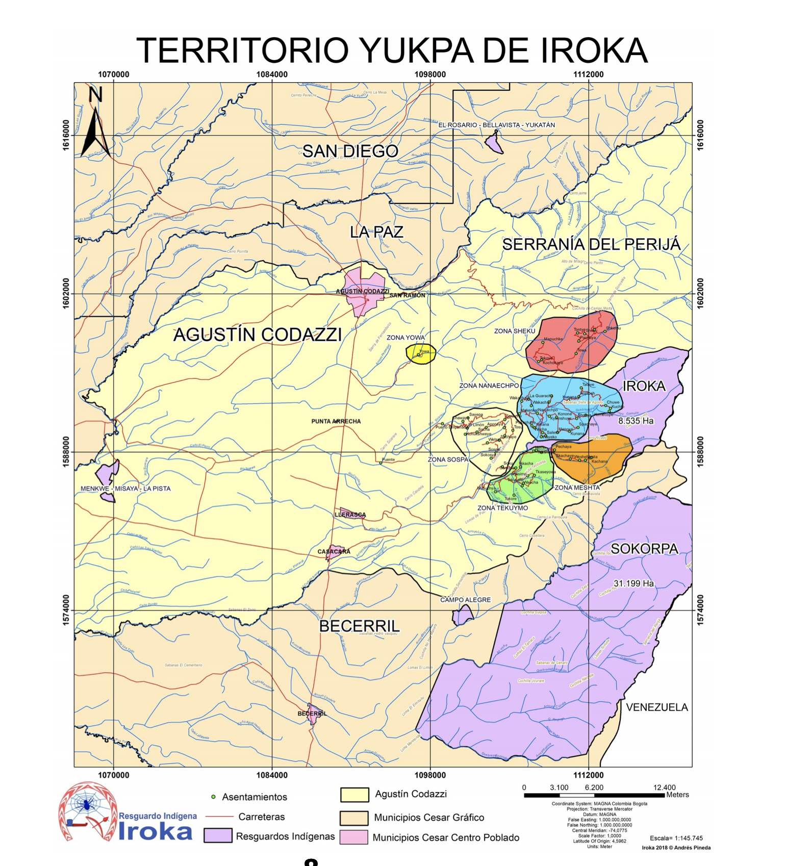
TERRITORIO DE YUKPA DE IROKA
Map 2018