Dispossesions in the Americas

Dispossesions in the Americas

  • Home
  • Explore
  • About
  • Authors
  • Art
  • Bodies
  • Curricula
  • Cultural Heritage
  • Maps
  • Territories
Back to Explore
Map 2011

TITLED INDIGENOUS TERRITORIES (TIOCs) IN THE BOLIVIAN HIGH PLATEAU by 2011

  • Fundación Tierra

Published: 2011

  • Download Image

Citation

Fundación Tierra (2011). Territorios Indígena Originario Campesinos en Bolivia. Entre la Loma Santa y la Pachamama, Informe 2011. Fundación Tierra. http://territorios.ftierra.org/index.php?option=com_content&view=article&id=100&Itemid=55

  • Download Image

Reading in Spanish

Map 2011

TITLED INDIGENOUS TERRITORIES (TIOCs) IN THE BOLIVIAN HIGH PLATEAU by 2011

  • Fundación Tierra

Published: 2011

  • Download Image
  • Download Image

Related Content

Mapa con migraciones
de indígenas misioneros y fundación de pueblos en Uruguay

Mapa con migraciones de indígenas misioneros y fundación de pueblos en Uruguay

Map 1828 - 1832
Terra Indígena Tenondé Porã

Terra Indígena Tenondé Porã

Map 2012
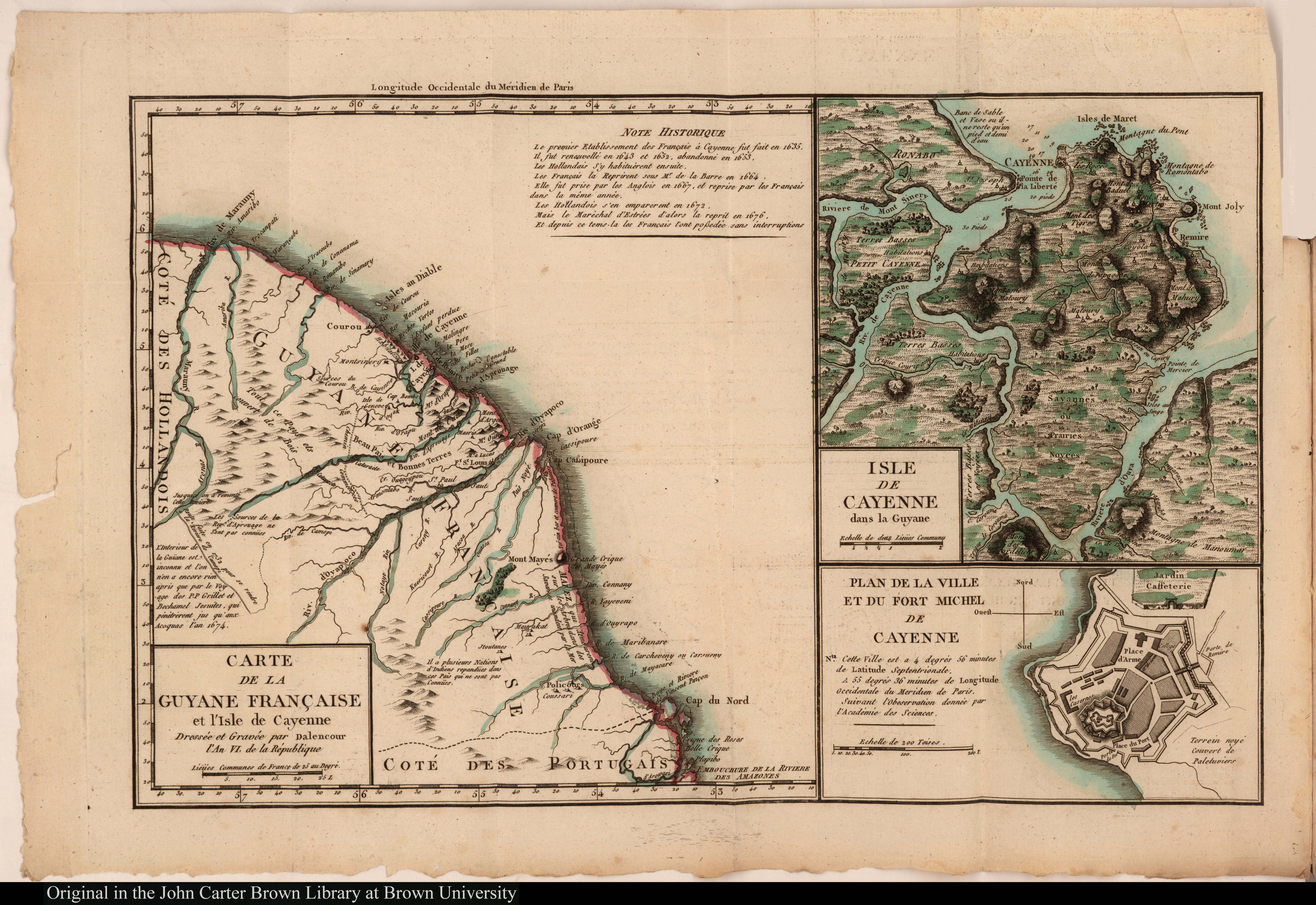
Carte de Colombie et des Guyanes

Carte de Colombie et des Guyanes

Map 1800 - 1899
The coast of Tierra Firma from Cartagena to Golfo Triste

The coast of Tierra Firma from Cartagena to Golfo Triste

Map 1775
A Map of part of Yucatan or of that Part of the Eastern Shore Within the Bay of Honduras Alloted to Great Britain for the Cutting of Logwood, in consequence of the Convention Signed with Spain on the 14th July 1786.

A Map of part of Yucatan or of that Part of the Eastern Shore Within the Bay of Honduras Alloted to Great Britain for the Cutting of Logwood, in consequence of the Convention Signed with Spain on the 14th July 1786.

Map 1700
Virreynato del Río de La Plata con sus intendencias y gobiernos militares: 1810

Virreynato del Río de La Plata con sus intendencias y gobiernos militares: 1810

Map 1810
MAPA 1. TERRITORIO WAORANI;GRUPOS TAGAERI;TAROMENANE Y BLOQUES PETROLEROS EN EL YASUNÍ

MAPA 1. TERRITORIO WAORANI;GRUPOS TAGAERI;TAROMENANE Y BLOQUES PETROLEROS EN EL YASUNÍ

Map 2013
Tribus del Gran Chaco

Tribus del Gran Chaco

Map 1527 - 1790

Dispossessions in the Americas

A project by

University of Pennsylvania

Copyright 2024

With support from

Mellon Foundation

Site design & development

Element 84

Art Credits

Fundación Tierra (2011). Territorios Indígena Originario Campesinos en Bolivia. Entre la Loma Santa y la Pachamama, Informe 2011. Fundación Tierra. http://territorios.ftierra.org/index.php?option=com_content&view=article&id=100&Itemid=55
Site Pages

  • Home
  • Explore
  • About
  • Authors
  • Art
  • Bodies
  • Curricula
  • Cultural Heritage
  • Maps
  • Territories