Peoples
- CHARCAS
- QHARAQHARAS
- QUILLACAS
- ASANAQUES
- LIPEZ
- CHICHAS
Citation
Cruz, Pablo. Reflexiones corográficas a partir de un mapa del siglo XVII del sur de Charcas, Estudios sociales del NOA N°15, 2015: 5-32
Midway
Map 1997
Carte du Gouvernement de Cayenne dans l'Amérique Méridionale
Map 1763
Carta Del Gran Chaco e Paesi Confinanti
Map 1700 - 1767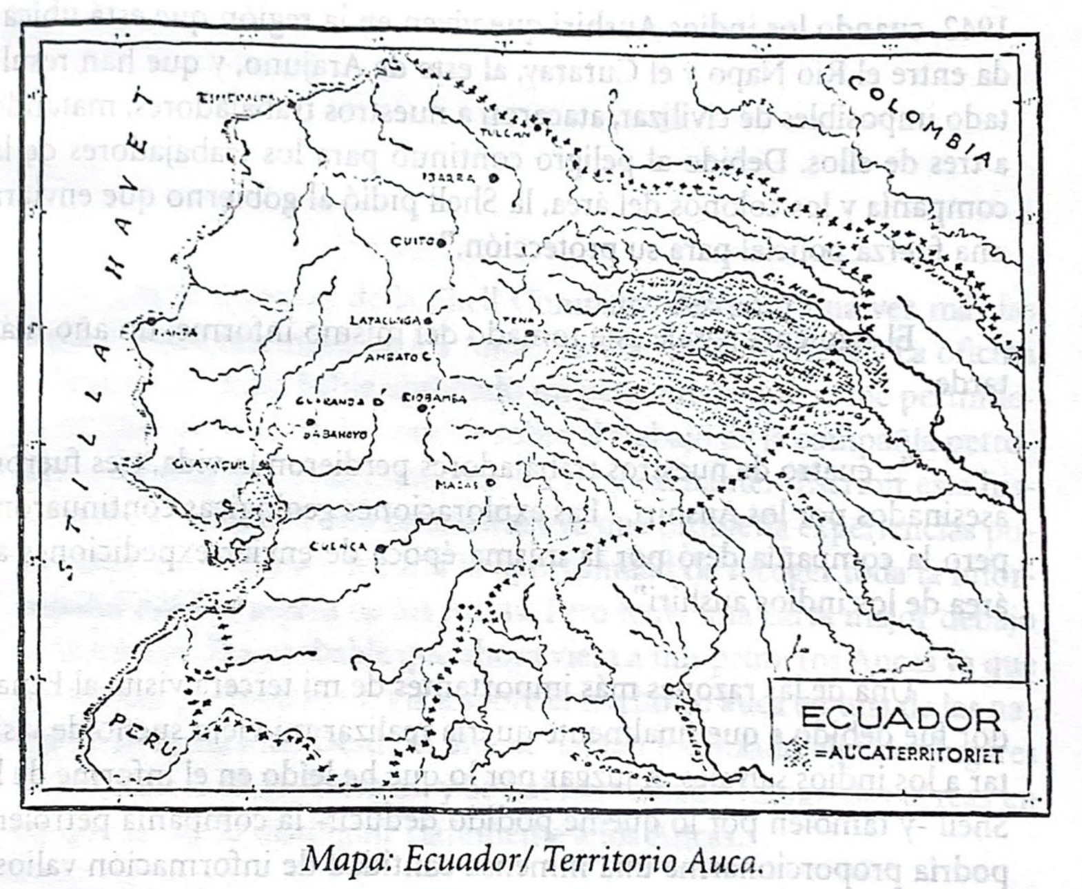
Mapa. Ecuador/Territorio Auca
Map 1940 - 1947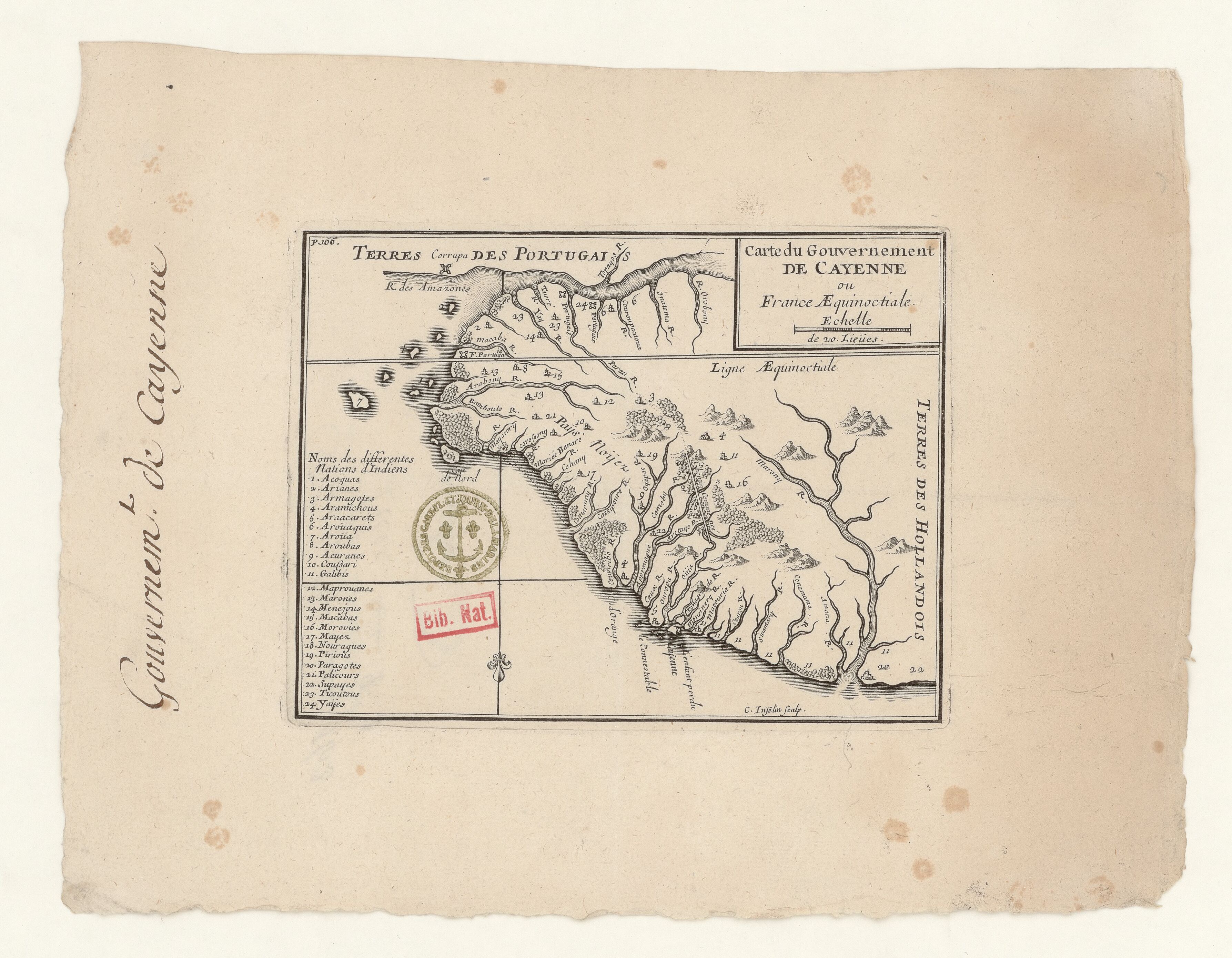
Carte du Gouvernement de Cayenne ou France Aequinoctiale.
Map 1680
FDRC KLEMM
Artwork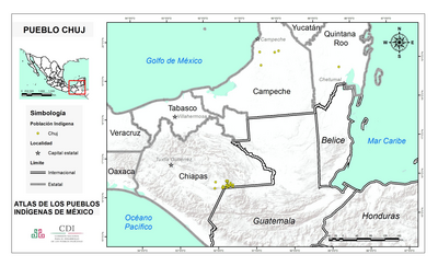
PUEBLO CHUJ
Map 2020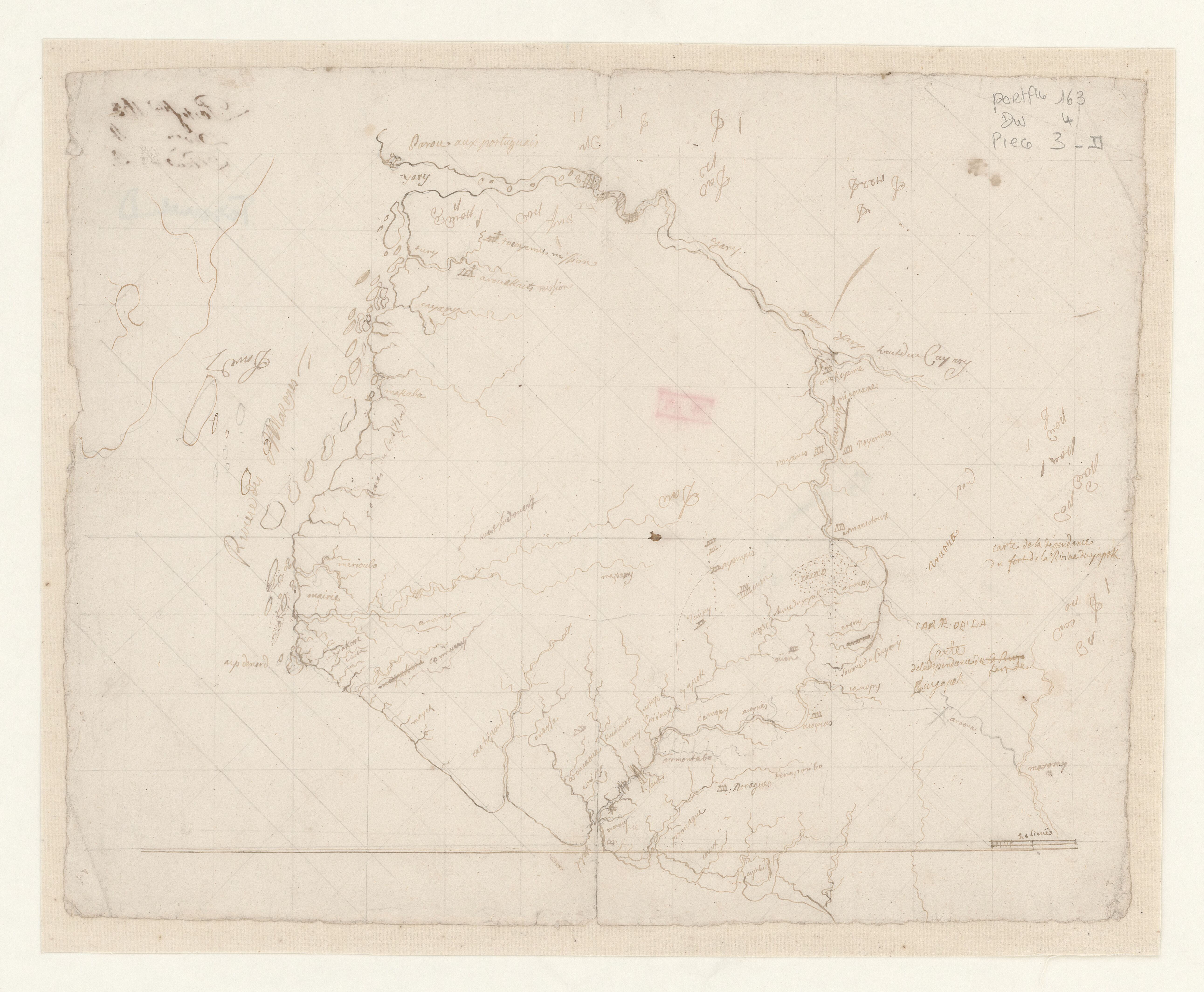
Carte de la dépendance du fort de la rivière d'Oyapok
Map 1600 - 1799