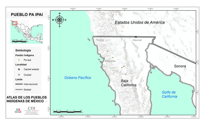
Dispossesions in the Americas

Dispossesions in the Americas

  • Home
  • Explore
  • About
  • Authors
  • Art
  • Bodies
  • Curricula
  • Cultural Heritage
  • Maps
  • Territories
Back to Explore
Map 1735

The Spanish and Musketor shore and the bay of Honduras and the islands adjacent

  • Samuel Penhallon

Published: 1735

  • Download Image

Peoples

  • INDIAN

Citation

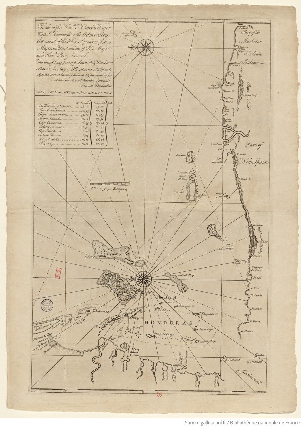
Samuel Penhallon. 1735. "The Spanish and Musketor shore and the bay of Honduras and the islands adjacent." Bibliothèque nationale de France, département Cartes et plans, GE SH 18 PF 143 DIV 2 P 1. Accessed April 26, 2024. https://gallica.bnf.fr/ark:/12148/btv1b5970790d/f1.item.zoom.

  • Download Image

Reading in Spanish

Map 1735

The Spanish and Musketor shore and the bay of Honduras and the islands adjacent

  • Samuel Penhallon

Published: 1735

  • Download Image
  • Download Image

Related Content

PUEBLOS INDÍGENAS DE MESOAMÉRICA

PUEBLOS INDÍGENAS DE MESOAMÉRICA

Map 2009
France équinoctiale Partie méridionale et Isle de Cayenne

France équinoctiale Partie méridionale et Isle de Cayenne

Map 1600 - 1699
Nos roban las palabras o A Calzón quitado, o Insurrecciones que son heréticas resurrecciones [They steal our words or Barefaced, or Insurrections that are Heretical Resurrections]

Nos roban las palabras o A Calzón quitado, o Insurrecciones que son heréticas resurrecciones [They steal our words or Barefaced, or Insurrections that are Heretical Resurrections]

Artwork
MUNICIPIOS CON JURISDICCION EN LA SIERRA NEVADA DE SANTA MARIA

MUNICIPIOS CON JURISDICCION EN LA SIERRA NEVADA DE SANTA MARIA

Map 2015
Geographic Distribution of the Zapotec, Oaxaca

Geographic Distribution of the Zapotec, Oaxaca

Map 1969
Provincia de Tatama: Planta y pueblo que queda empezado hacer de la parcialidad de los indios de Itigasu

Provincia de Tatama: Planta y pueblo que queda empezado hacer de la parcialidad de los indios de Itigasu

Map 1687
Totocanapan: Approximate Extension in Ancient and Recent Times

Totocanapan: Approximate Extension in Ancient and Recent Times

Map 1940
Chili

Chili

Map 1663

Dispossessions in the Americas

A project by

University of Pennsylvania

Copyright 2024

With support from

Mellon Foundation

Site design & development

Element 84

Art Credits

Samuel Penhallon. 1735. “The Spanish and Musketor shore and the bay of Honduras and the islands adjacent.” Bibliothèque nationale de France, département Cartes et plans, GE SH 18 PF 143 DIV 2 P 1. Accessed April 26, 2024. https://gallica.bnf.fr/ark:/12148/btv1b5970790d/f1.item.zoom.

Site Pages

  • Home
  • Explore
  • About
  • Authors
  • Art
  • Bodies
  • Curricula
  • Cultural Heritage
  • Maps
  • Territories