Peoples
- KE'KCHI
Citation
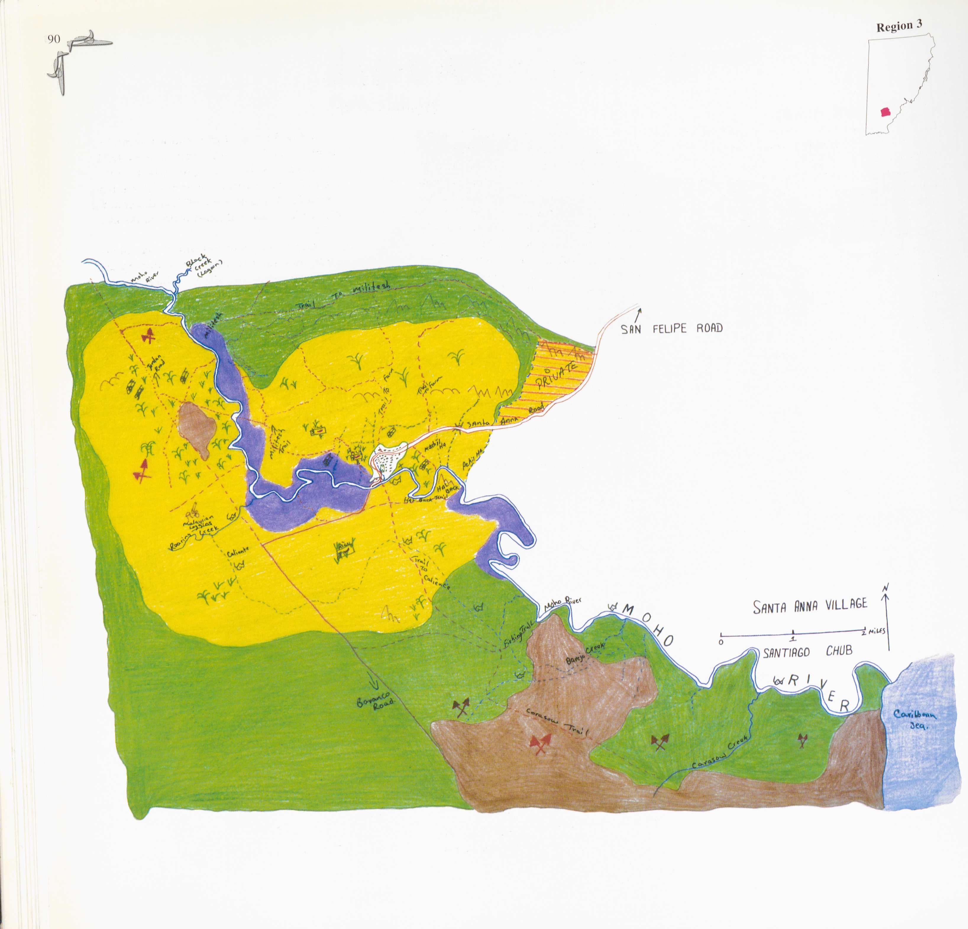
Santiago Chub. 1997. "Santa Anna." In Maya Atlas: The Struggle to Preserve Maya Land in Southern Belize,91. Berkeley, CA: North Atlantic Books. BOOK
![[Embouchure de l'Oyapock].](https://dnet8ble6lm7w.cloudfront.net/maps/FGU/FGU0062.jpeg)
[Embouchure de l'Oyapock].
Map 1700 - 1799
A Gente Rio /We River
Artwork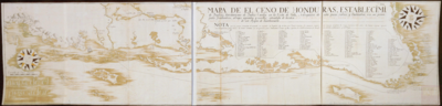
Mapa del Ceno (sic) de Honduras, Establecimientos de Ingleses, havitaciones de Indios Caribes en la Costa de Valis, navegacion de esta para Navios y Balandras con sus principales fondeaderos, abrigos, aguadas y escollos, estendida de orden de el Muy Ylustre Señor D. Martín de Mayorga, Presidente Gobernador y Capitan Gral. de este Reyno de Guatemala.
Map 1776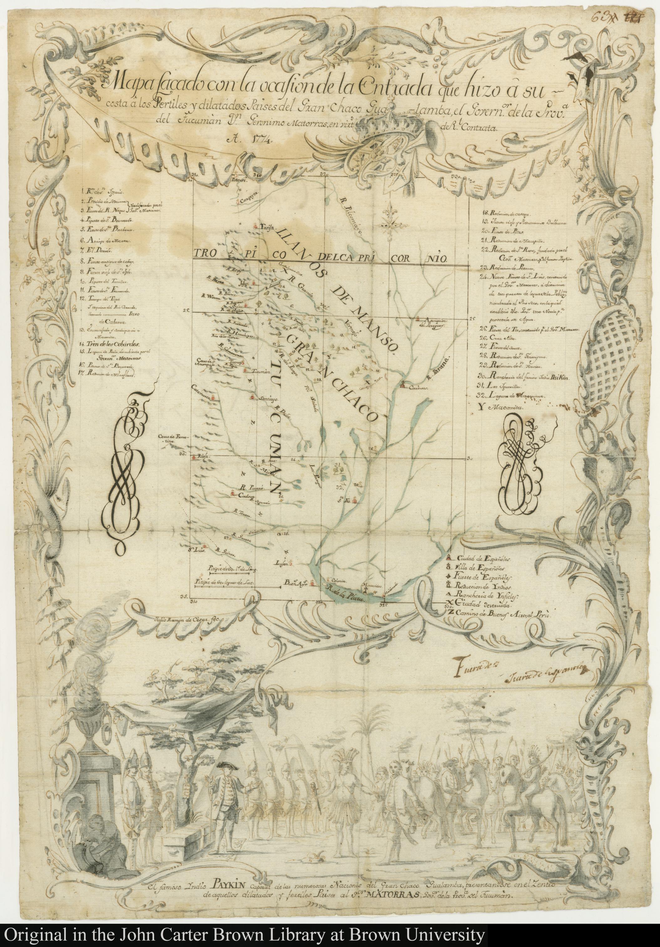
MAPA SACADO CON LA OCASION DE LA ENTRADA QUI HIZO Â SU COSTA Â LOS FERTILES Y DILATADOS PAISES DEL GRAN CHACO GUALAMBA
Map 1774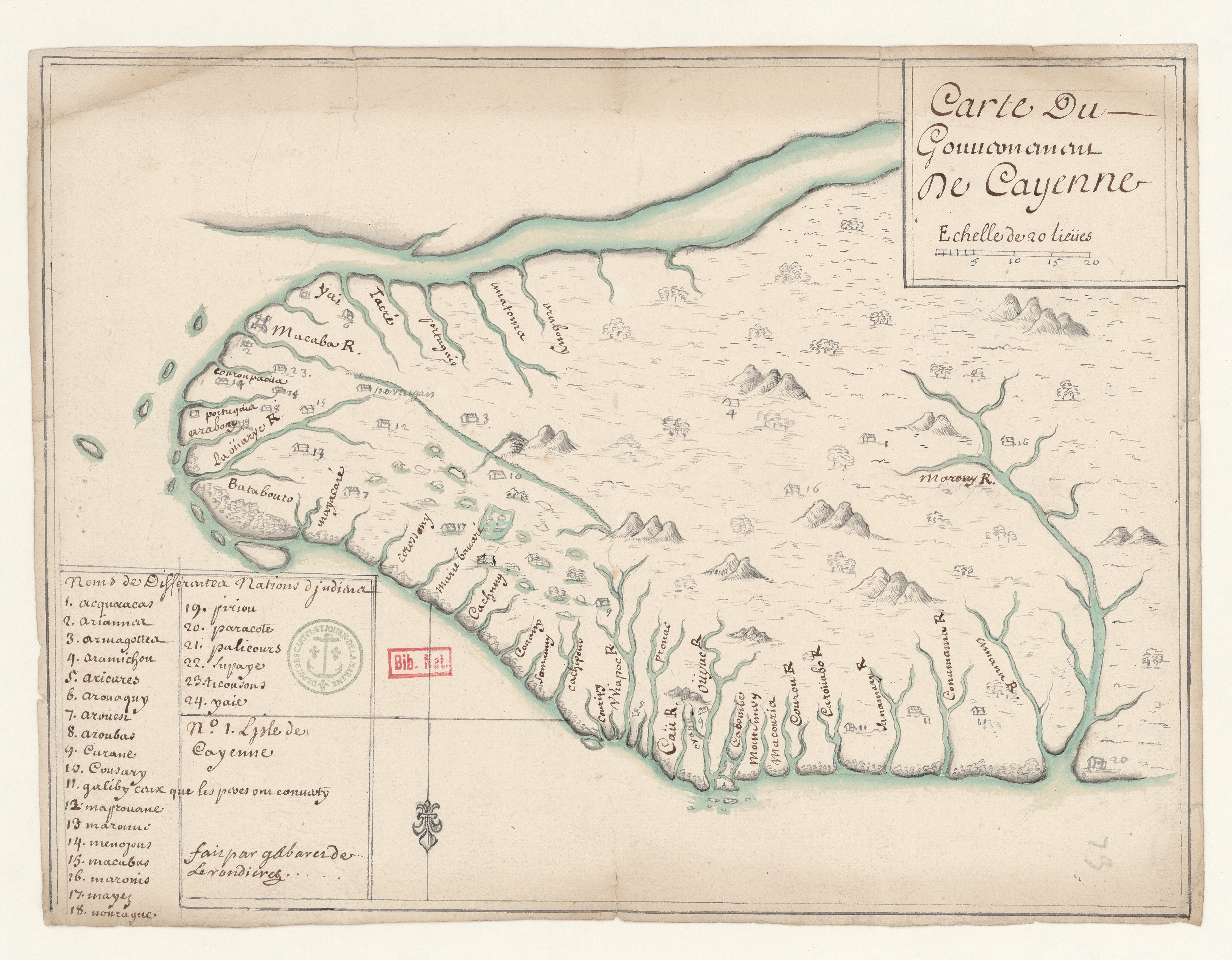
Carte du Gouvernement de Cayenne.
Map 1700 - 1799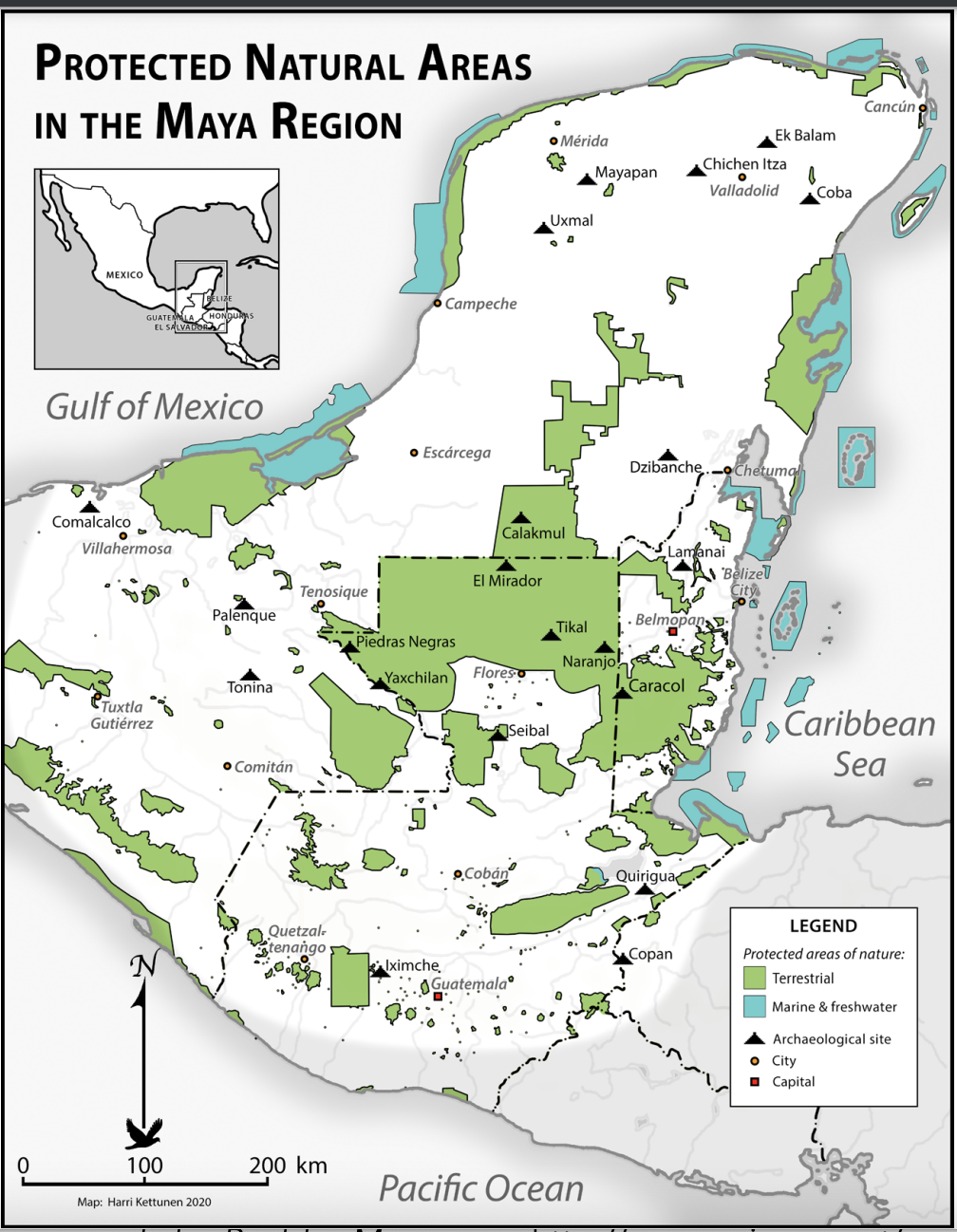
Protected Natural Areas in the Maya Region
Map 2000 - 2100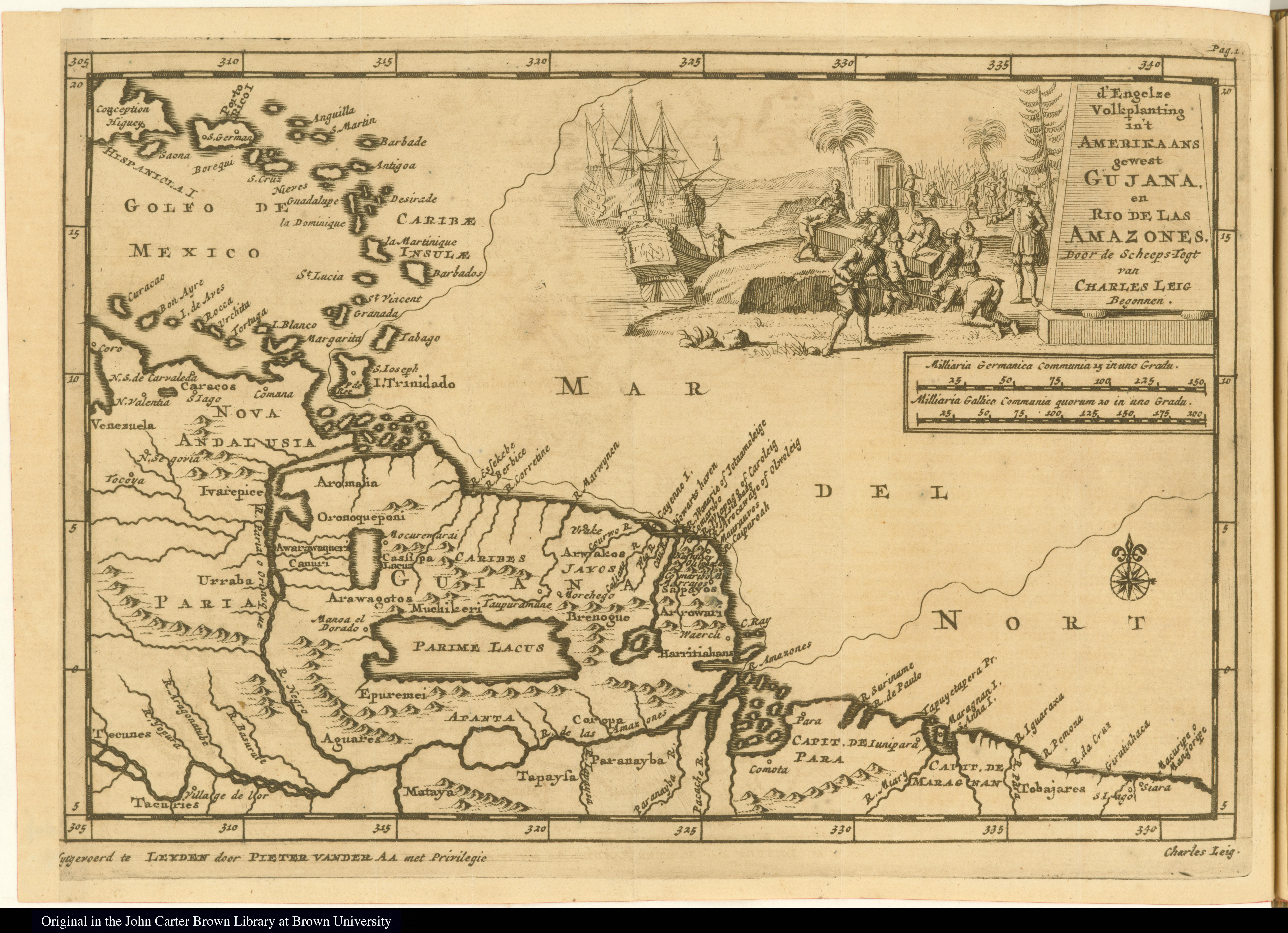
d'Engelze Volkplanting in't Amerikaans gewest Gujana, en Rio de las Amazones
Map 1700 - 1799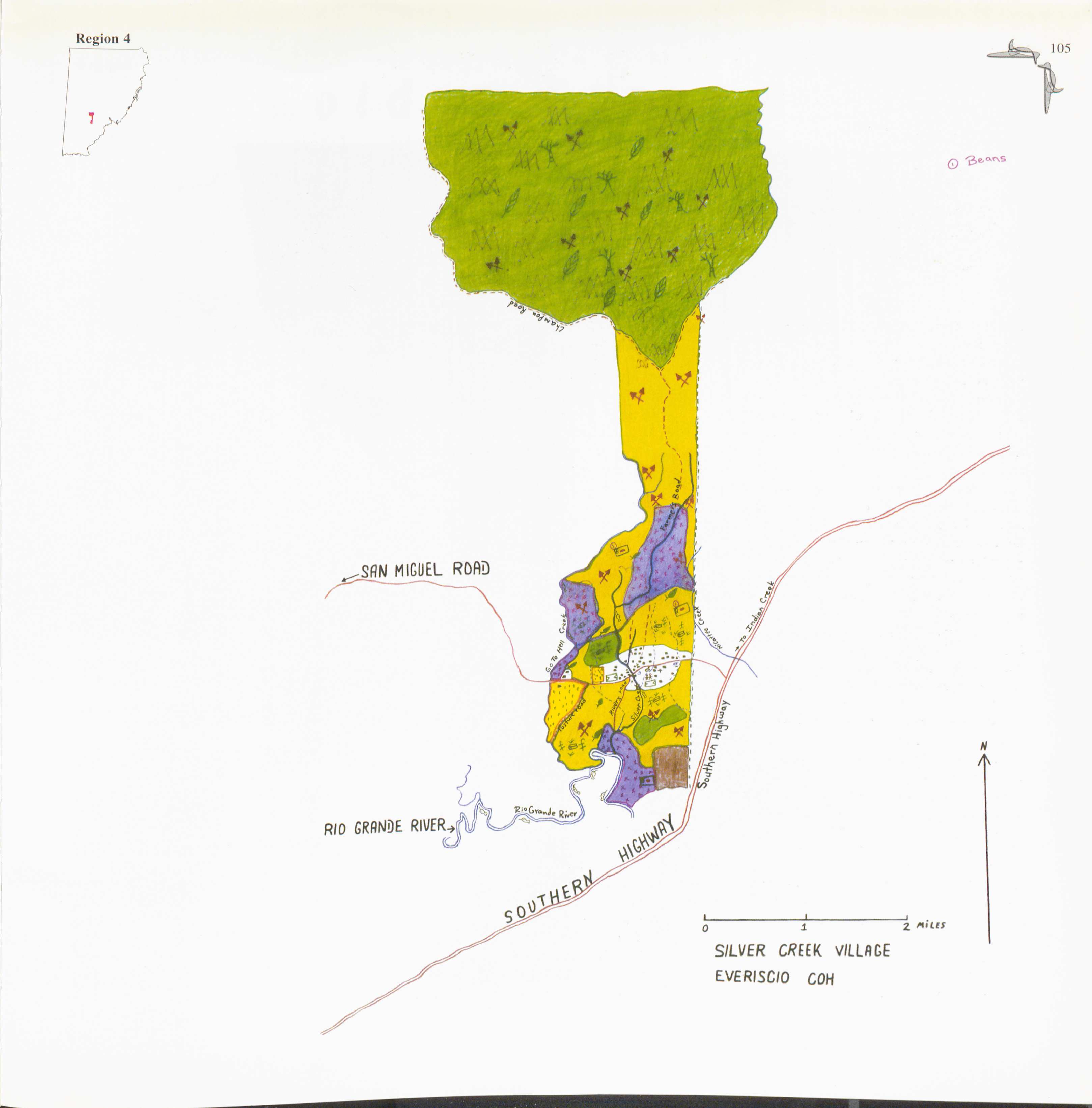
Silver Creek
Map 1997