
Citation
United States Department of Commerce, Transportation Department. 1920. "Railroad Map of British Honduras." https://hdl.loc.gov/loc.wdl/wdl.11329
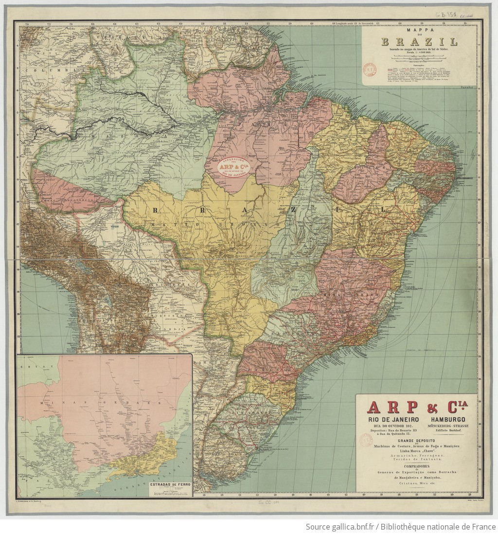
MAPPA DO BRAZIL baseado no mappa da America do Sul de Stieler
Map 1900 - 1999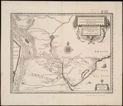
Paraguay;ó prov. de Rio de la Plata cum regionibus adiacentibus Tucuman et Sta. Cruz de la Sierra
Map 1600 - 1699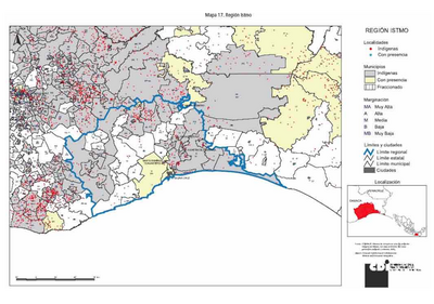
REGIÓN ISTMO
Map 2000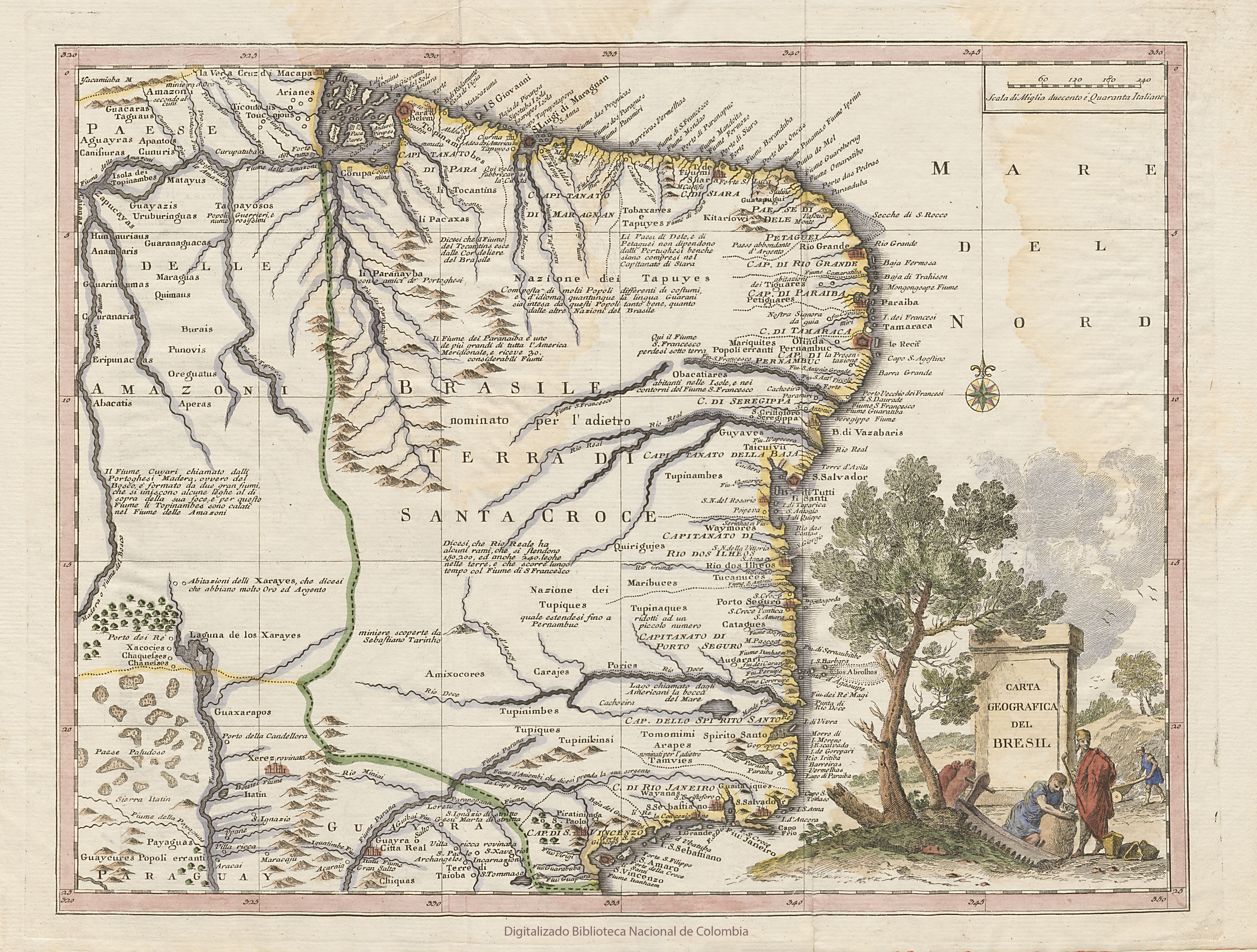
CARTA GEOGRAFICA DEL BRESIL
Map 1740
SKETCH MAP OF THE MISSIONS OF THE CATALONIAN CAPUCHINS IN THE SPANISH PROVINCE OF GUAYANA ABOUT 1771
Map 1771
Mapa topográfico del Obispado de Truxillo del Perú. Construido por su actual Obispo en la visita general personal que acava de hacer en dicho obispado, quien lo dedica al Señor Dn. Carlos Tercero, Rey Católico de las Españas y Augusto emperador y verdadero padre de sus Américas ;y delineado por Dn. Josef Clemente de Castillo ;Baltasar Jaime, Obispo de Truxillo
Map 1782 - 1785
Carte de la Neustrie dressé ainsi que la carte générale;d'aprés les cartes de Jn. Purdy;celles de Th Jefferys;corrigées;etc.;etc/
Map 1830
Distribución étnica en el siglo XVI
Map 1500 - 1599