Peoples
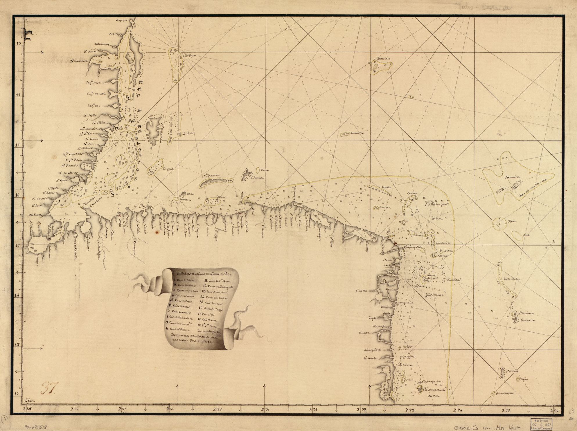
- MOSQUITO
Citation
Pieter van Ley. n.d. "Map showing Caribbean coast of Central America from Belize to Nicaragua." Library of Congress Geography and Map Division, G4802.C6 17-- .M31. http://hdl.loc.gov/loc.gmd/g4802c.lh000067
![[Carte manuscrite de l'embouchure de Rio da Prata]](https://dnet8ble6lm7w.cloudfront.net/maps/URU/URU0025.jpeg)
[Carte manuscrite de l'embouchure de Rio da Prata]
Map 1740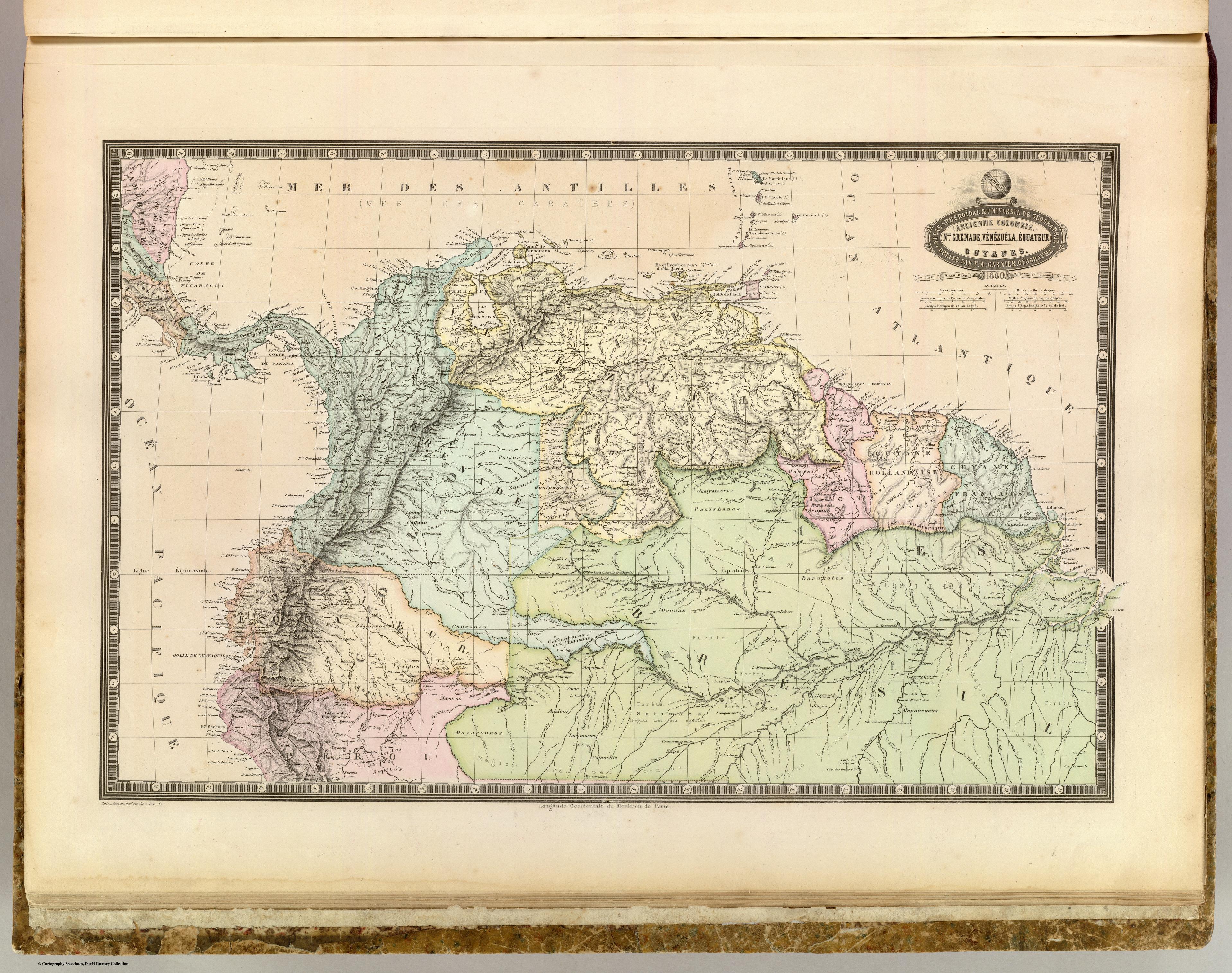
NLE. GRENADE;VENEZUELA;EQUATEUR;GUYANES.
Map 1860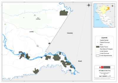
PUEBLO TICUNA
Map 2021
CARTA GEOGRÁFICA DEL ECUADOR POR DR. TEODORO WOLF;PUBLICADA POR ORDEN DEL SUPREMO GOBIERNO DE LA REPÚBLICA Y TRABAJADA BAJO LAS PRESIDENCIAS DE LOS EE. SEÑORES DR. D.J.M. PLÁCIDO CAAMAÑO Y DR. D. ANTONIO FLORES. 1892 ... INSTITUTO GEOGRAFICO DE H. WAGNER & E. DEBES EN LEIPZIG. (WITH) LA REGION ORIENTAL DEL ECUADOR. (WITH) ARCHIPIÉLAGO DE GALÁPAGOS.
Map 1892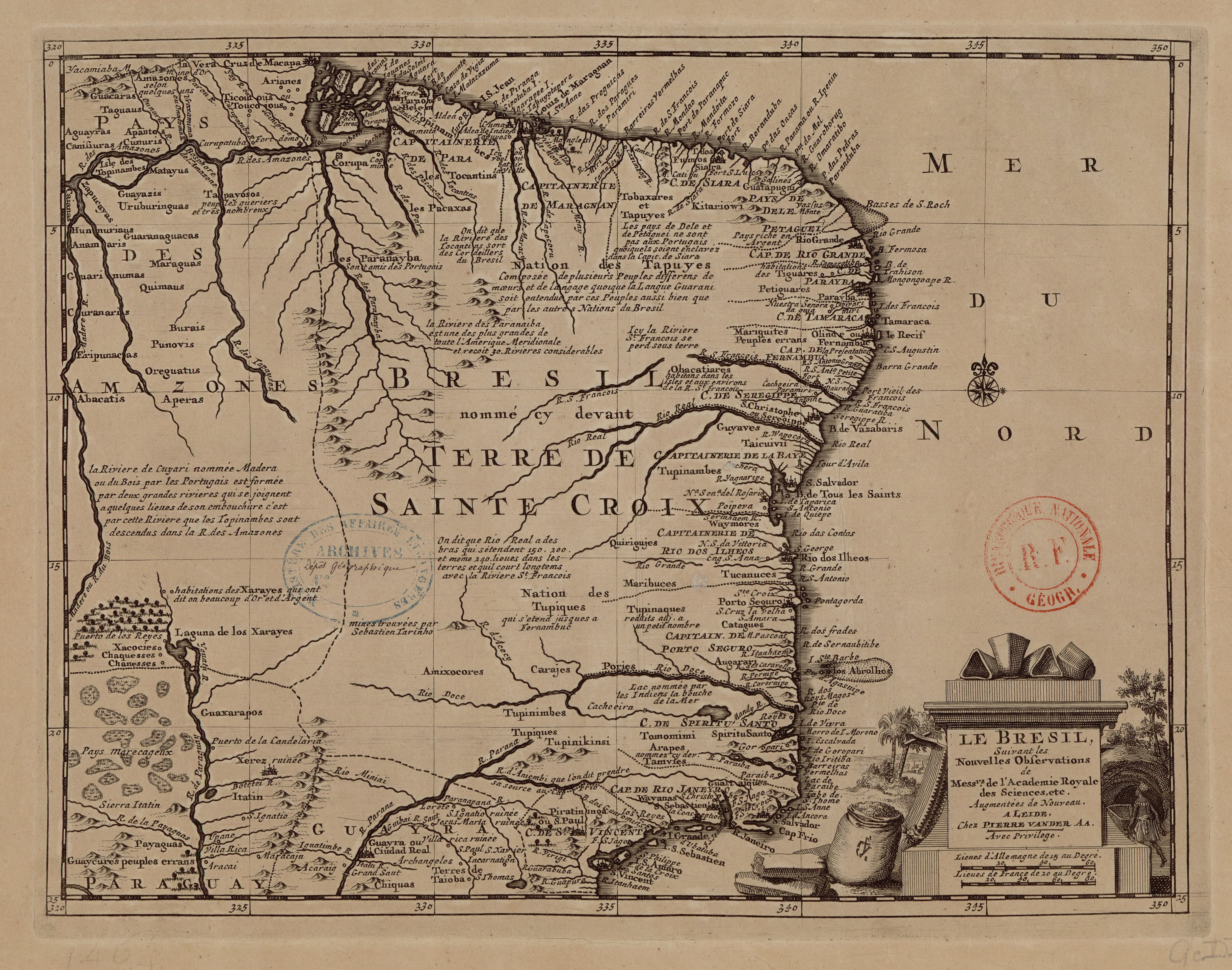
LE BRESIL
Map 1714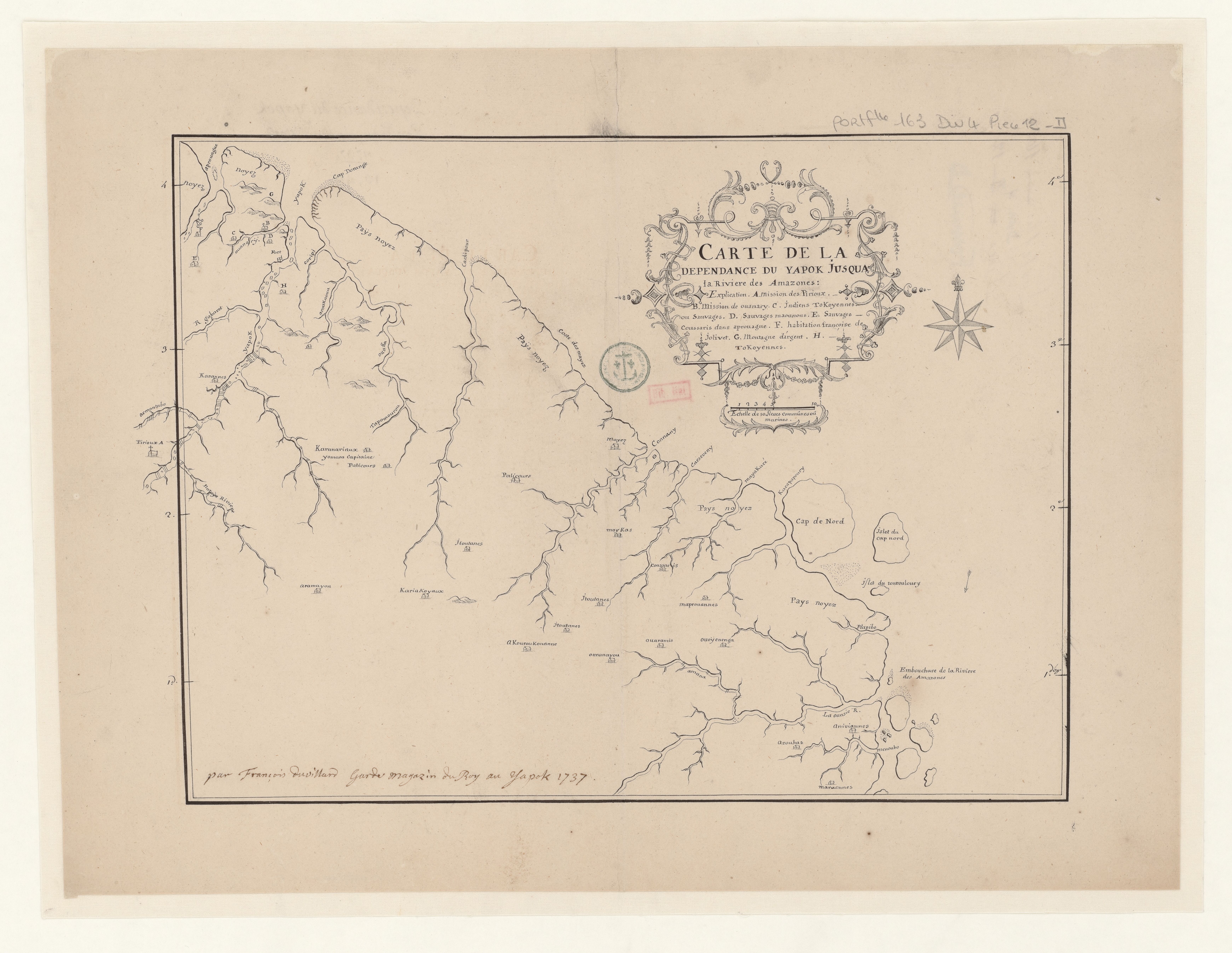
Carte de la dépendance du Yapok jusqu'à la Rivière des Amazones;par François Duvillard garde magazin du Roy au Yapok
Map 1700 - 1799![[Cartes de S. Domingue, de Cuba, de la Martinique et de la Guadeloupe]](https://dnet8ble6lm7w.cloudfront.net/maps/CNT/CNT0219.jpeg)
[Cartes de S. Domingue, de Cuba, de la Martinique et de la Guadeloupe]
Map 1700 - 1799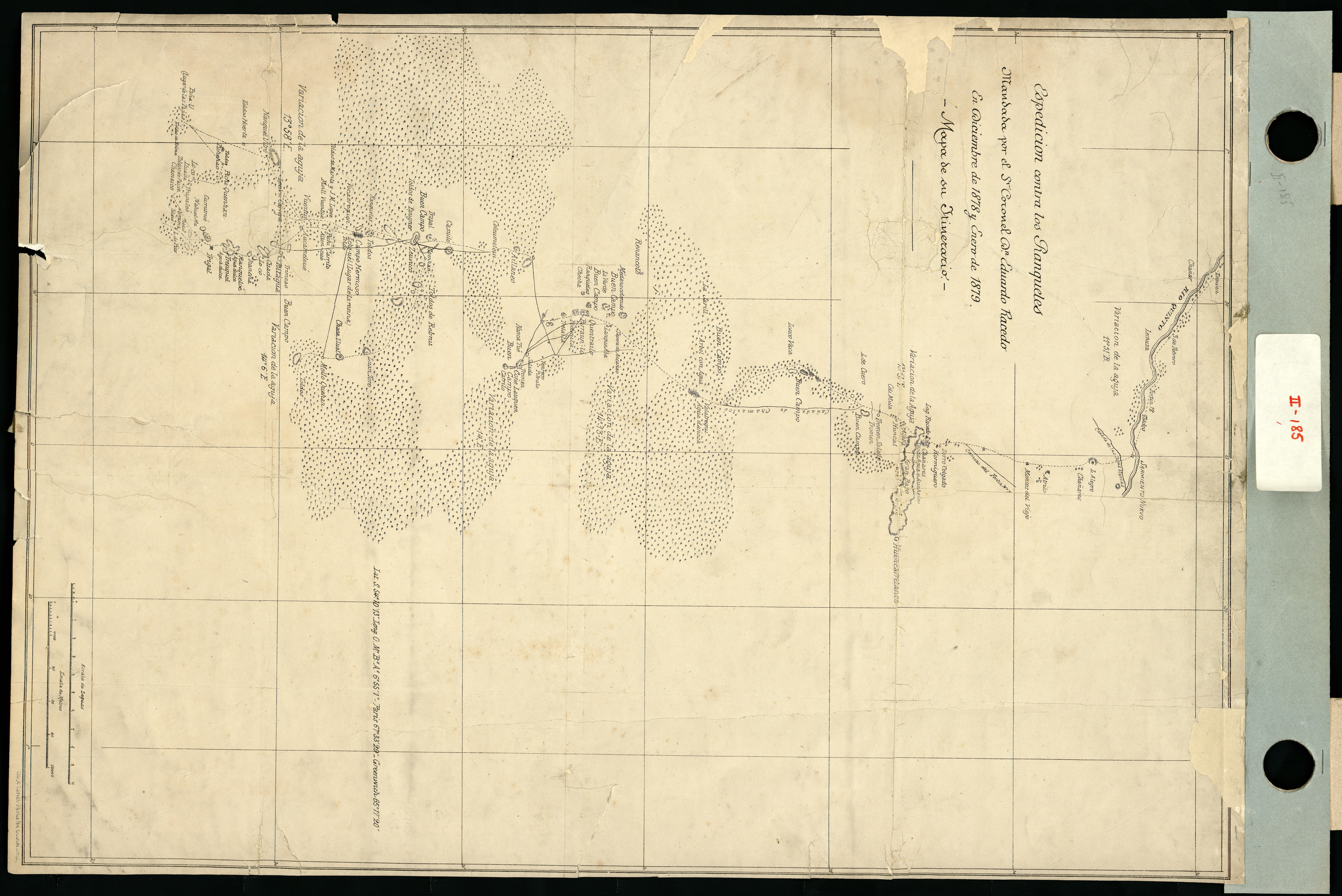
Espedicion contra los ranqueles
Map 1878 - 1879