Peoples
- INDIOS
Citation
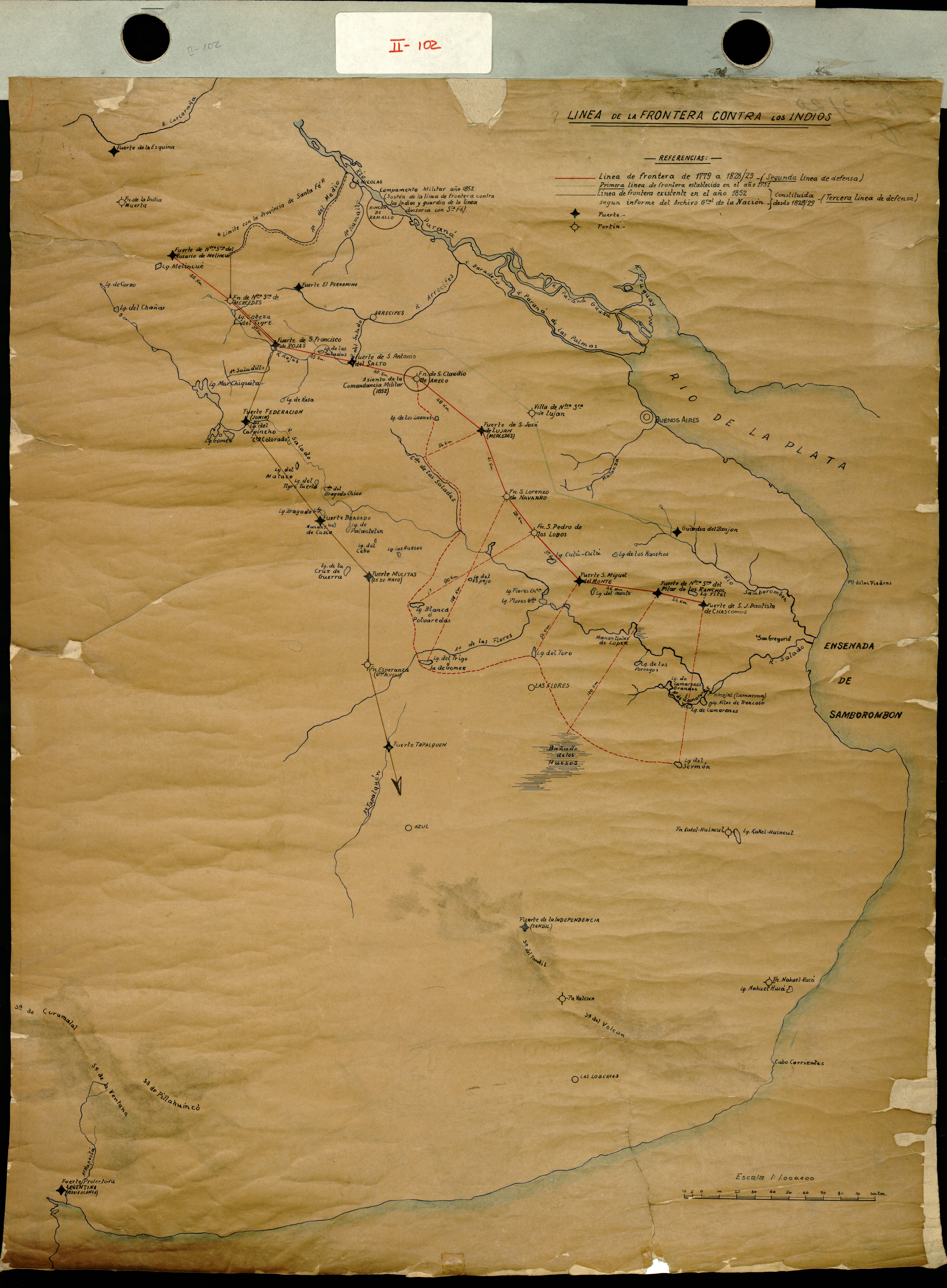
S/N. "Linea de frontera contra los indios" Map. 1830.
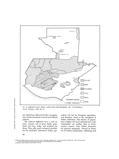
PRESENT-DAY MAYA LANGUAGE BOUNDARIES OF GUATEMALA
Map 1961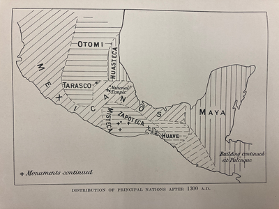
DISTRIBUTION OF PRINCIPAL NATIONS AFTER 1300 AD
Map 1300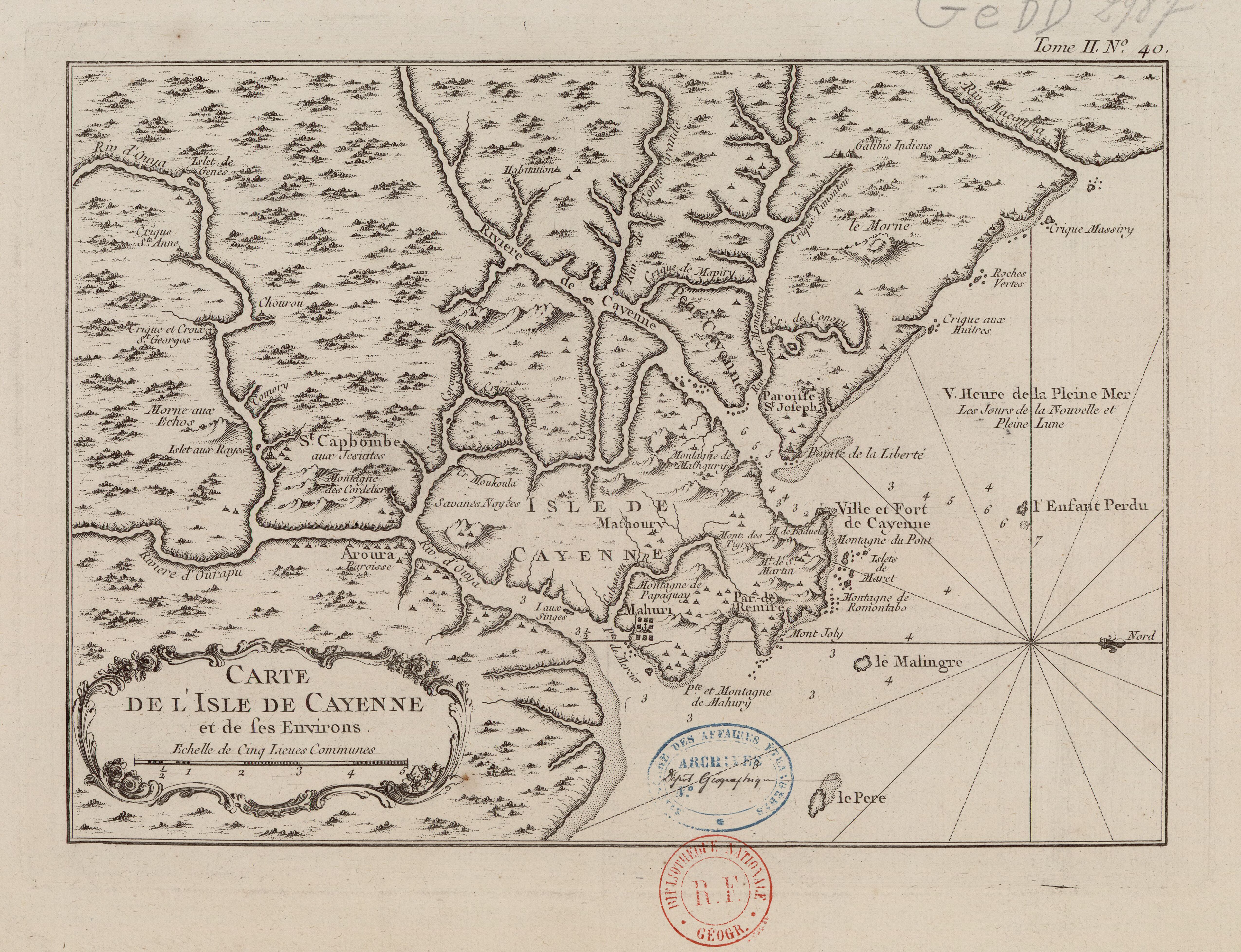
Carte de l'Isle de Cayenne et de ses environs
Map 1764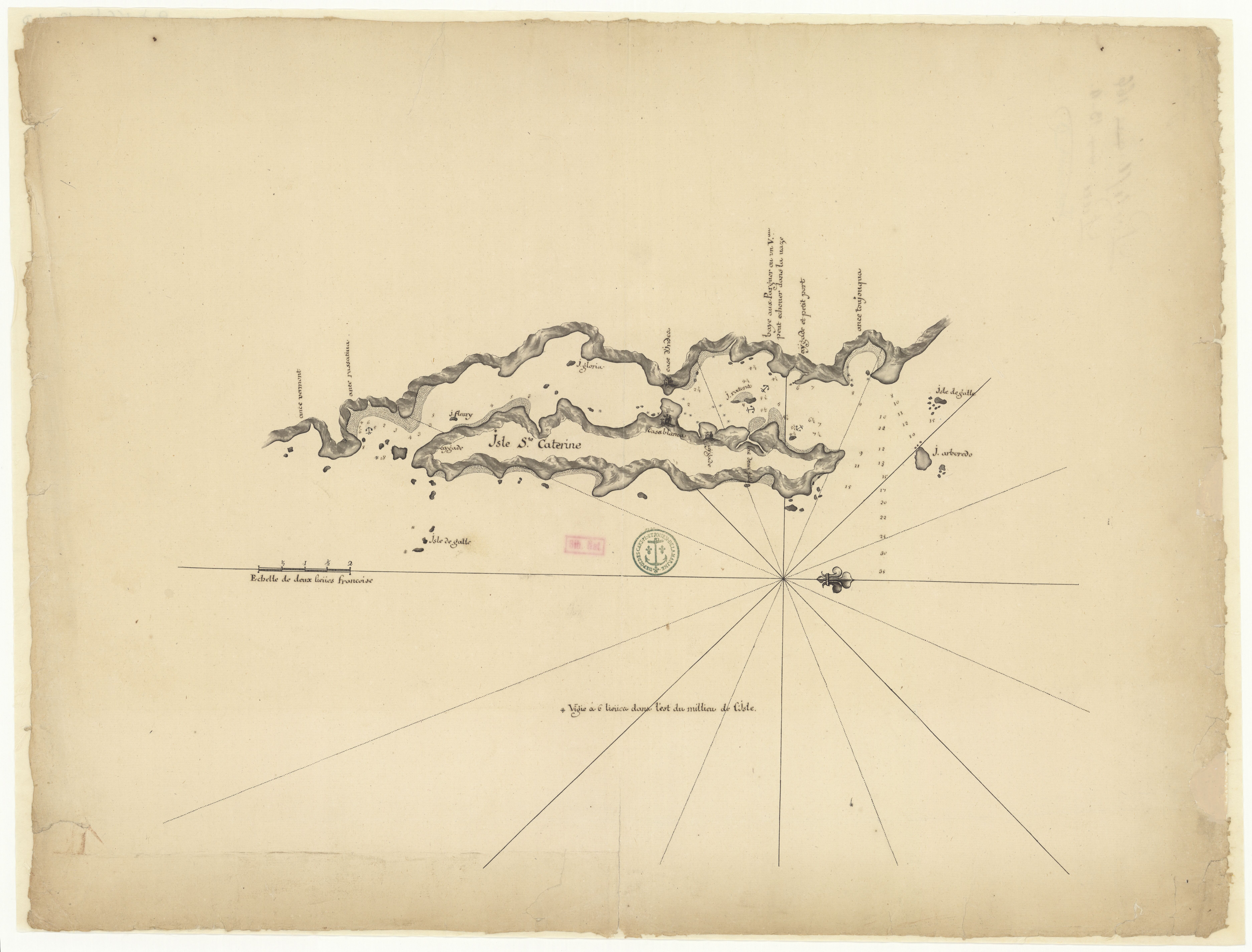
Isle Ste. Catherine
Map 1650 - 1750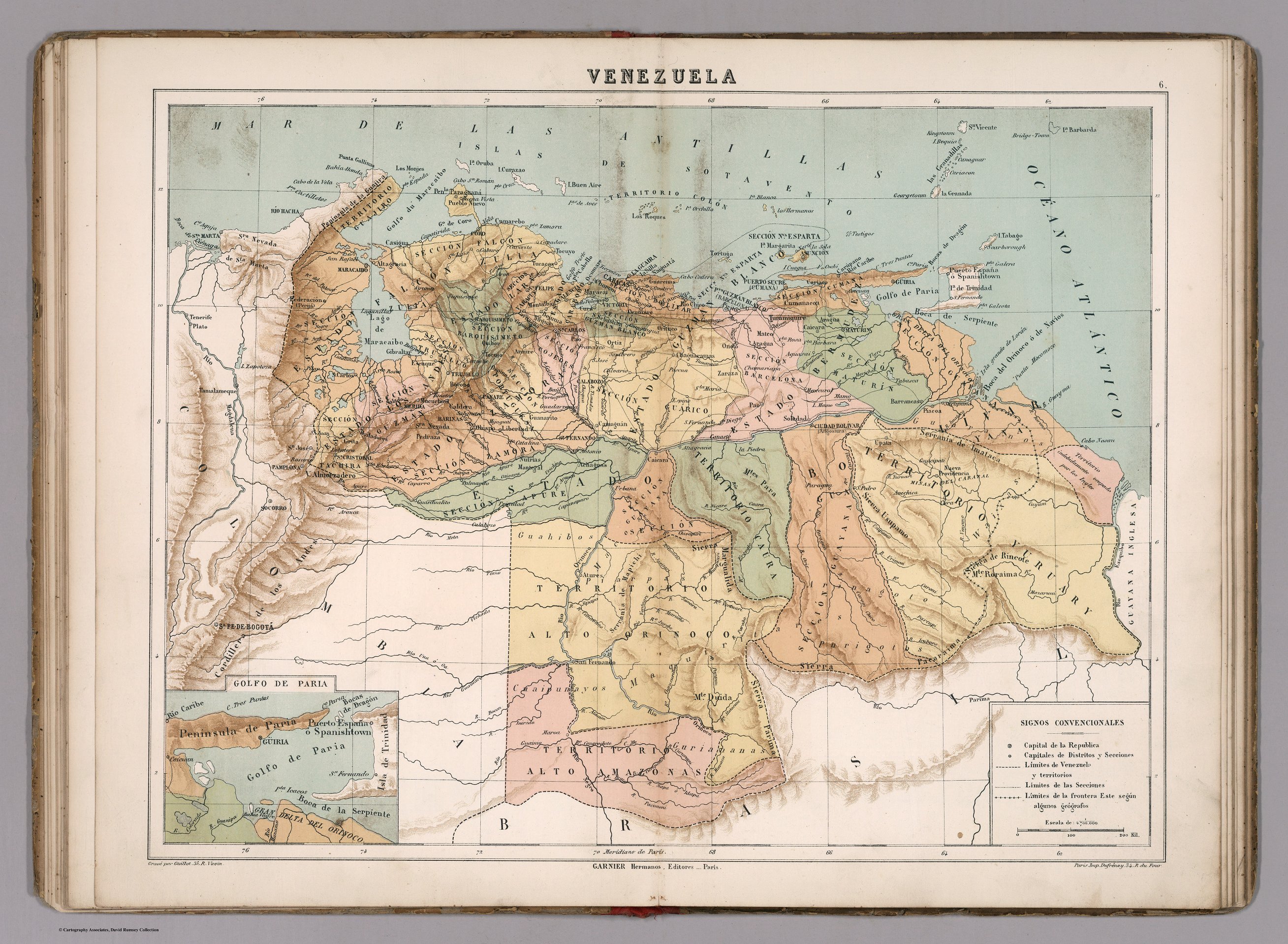
VENEZUELA
Map 1885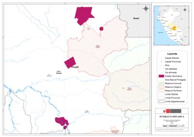
PUEBLO YAMINAHUA
Map 2021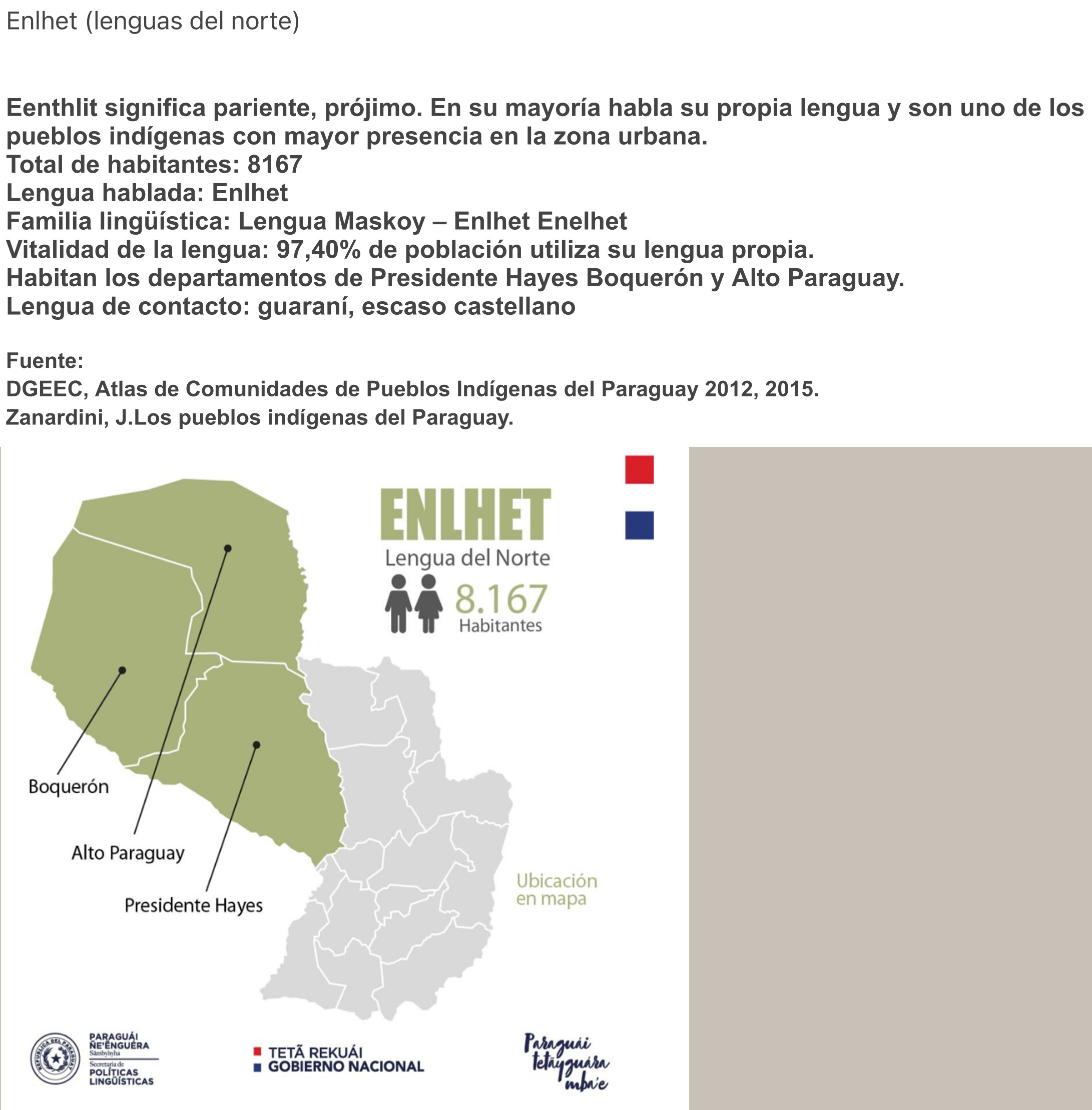
ENLHET Lengua del Norte
Map 2015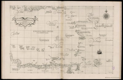
Carta particolare dell'India Ocidentale;con la terra ferma dal' capo di Paria sin al' capo S. Romano
Map 1661