Dispossesions in the Americas

Dispossesions in the Americas

  • Home
  • Explore
  • About
  • Authors
  • Art
  • Bodies
  • Curricula
  • Cultural Heritage
  • Maps
  • Territories
Back to Explore
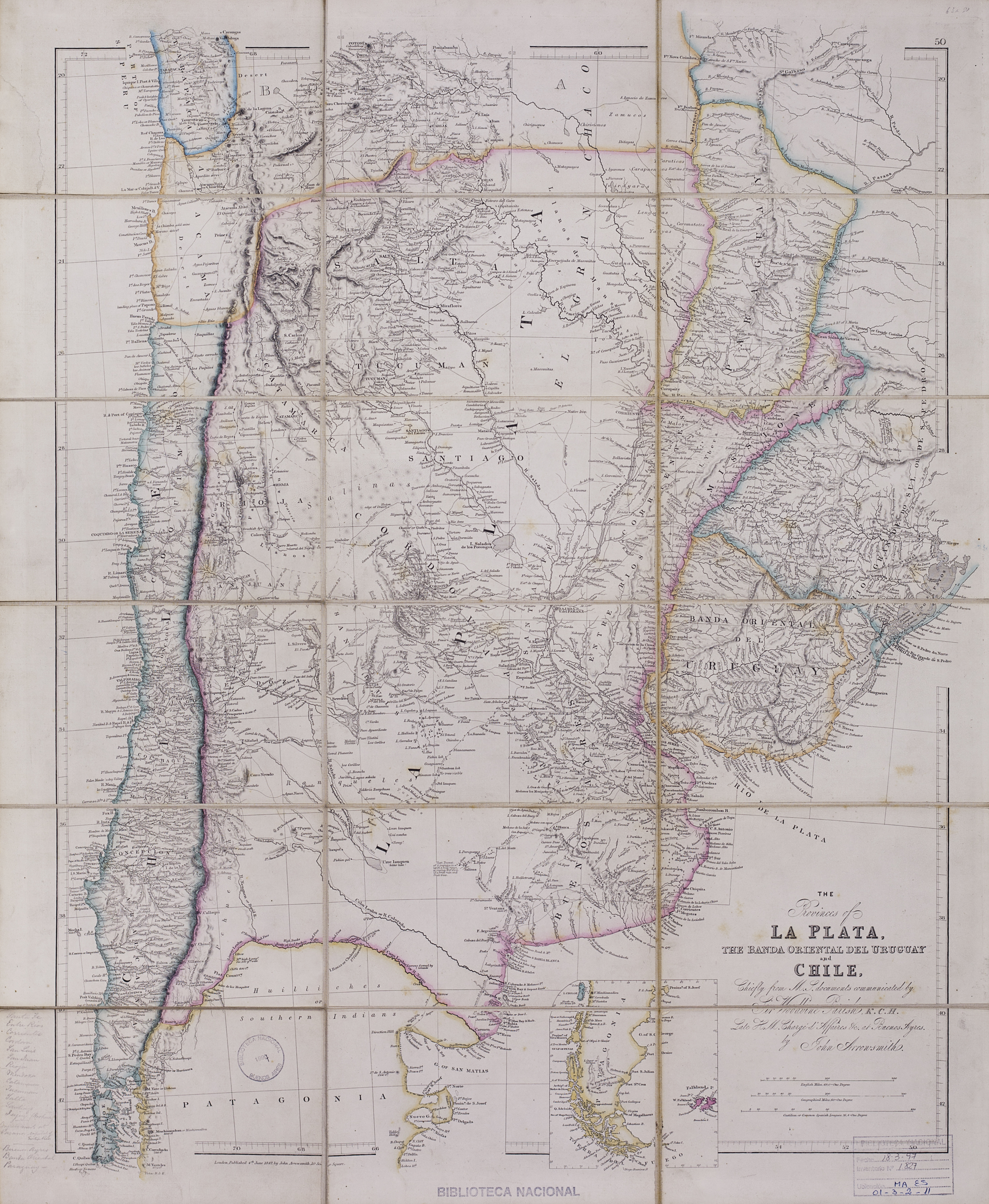
Map 1842

The provinces of La Plata, the Banda Oriental del Uruguay and Chile.

  • Arrowsmith, John.

Published: 1842

  • Download Image

Peoples

  • HUILINCHES
  • PEHUENCHES
  • RANQUEL
  • MATAGUAYOS
  • MATACOS
  • TOBAS

Citation

Arrowsmith, John. The provinces of La Plata, the Banda Oriental del Uruguay and Chile. Map. London, 1842. https://catalogo.bn.gov.ar/exlibris1/apache_media/NADP7M7ACG8M2S5NAAAR7VJSK317LC.jpg
  • Download Image

Reading in Spanish

Map 1842

The provinces of La Plata, the Banda Oriental del Uruguay and Chile.

  • Arrowsmith, John.

Published: 1842

  • Download Image
  • Download Image

Related Content

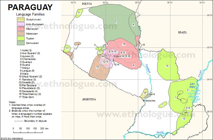
Sanapaná

Sanapaná

Map 2001
Mapa de Pueblos Indígenas del Perú

Mapa de Pueblos Indígenas del Perú

Map 2021
Map 2.3 The multilingual context of French Guiana (from Renault-Lescure and Goury 2009: 10)

Map 2.3 The multilingual context of French Guiana (from Renault-Lescure and Goury 2009: 10)

Map 2012
Distribucion Territorial Actual de las Comunidades Quechua

Distribucion Territorial Actual de las Comunidades Quechua

Map 1993
Sudlichster Theil von AMERICA enthaltend BOLIVIA, das sudliche BRASILIEN, PARAGUAY, Chile, La Plata, Cisplatina und PATAGONIEN

Sudlichster Theil von AMERICA enthaltend BOLIVIA, das sudliche BRASILIEN, PARAGUAY, Chile, La Plata, Cisplatina und PATAGONIEN

Map 1850
Departamentos y municipios de mayor concentración del pueblo Awá

Departamentos y municipios de mayor concentración del pueblo Awá

Map 2005
Lamento Kayapó [Kayapó Lament]

Lamento Kayapó [Kayapó Lament]

Artwork
America Meridionalis

America Meridionalis

Map 1619

Dispossessions in the Americas

A project by

University of Pennsylvania

Copyright 2024

With support from

Mellon Foundation

Site design & development

Element 84

Art Credits

Arrowsmith, John. The provinces of La Plata, the Banda Oriental del Uruguay and Chile. Map. London, 1842. https://catalogo.bn.gov.ar/exlibris1/apache_media/NADP7M7ACG8M2S5NAAAR7VJSK317LC.jpg
Site Pages

  • Home
  • Explore
  • About
  • Authors
  • Art
  • Bodies
  • Curricula
  • Cultural Heritage
  • Maps
  • Territories