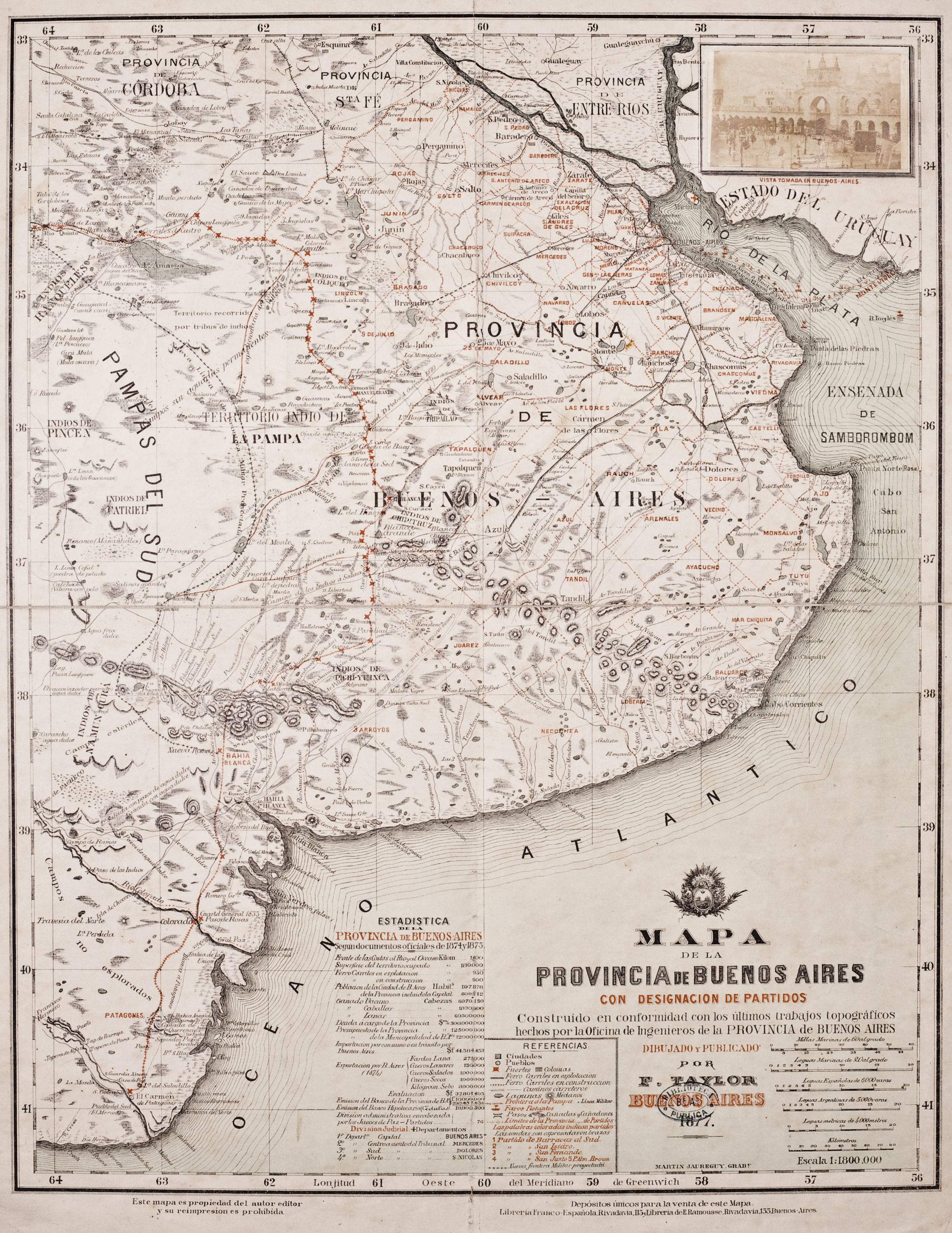
Peoples
- RANQUELES
- INDIOS DE NAMUN CURA
- INDIOS DE PINCEN
Citation
Jaureguy, Martin. Mapa de la Provincia de Buenos Aires. Map. Buenos Aires: F. Taylor, 1877. https://catalogo.bn.gov.ar/exlibris1/apache_media/8LSYEY3N33J813PYE3B7BU1XCKDIL6.jpg
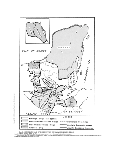
SCHEMATIC MAP OF DISTRIBUTION OF MAYA-SPEAKING INDIANS (From Morley, 1956, pl.7)
Map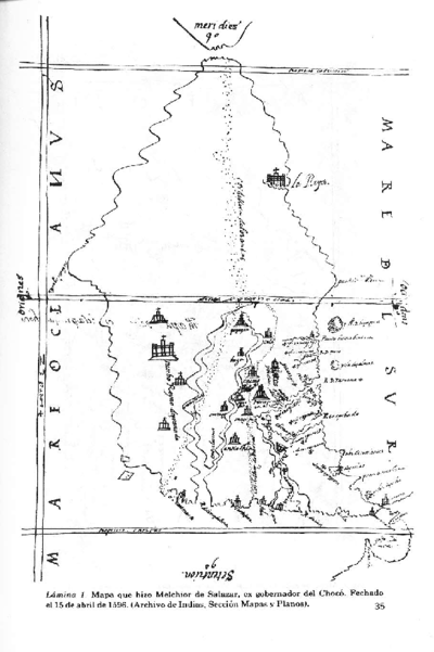
Vision etnografica del Choco Medidional
Map 1596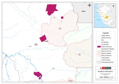
PUEBLO YAMINAHUA
Map 2021
Parte de la América Meridional
Map 1764 - 1767
Paraguariæ Provinciæ soc. jesu cum adiacentibg. novissima descriptio : post iteratas peregrinationes & plures observationes patrum missionariorum eiusdem soc. tum huius provinciæ;cum & Peruanæ accuratissime delineata & emendata ann. 1732
Map 1732
CARTA COROGRÁFICA DE JALISCO, ZACATECAS Y COLIMA
Map 1824
THE QULLASUYU IN THE 1530s – SOUTHERN DISTRICT OF THE INCA STATE
Map 1530
Hecatombe II
Artwork