Peoples
- RANQUEL
- MAPUCHE
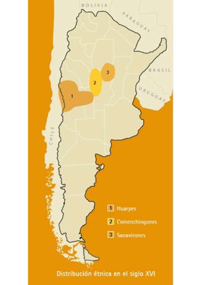
- HUARPE
- DIAGUITA
- MAPUCHE-TEHUELCHE
- TEHUELCHE
- SELK'NAM
- QOM
- MOCOVI
- CHARRUA
- GUARANI
- COMECHINGON
Citation
Ministerio de Justicia y Derechos Humanos de la Nación. 2017. Accessed September 2021. https://www.lanacion.com.ar/politica/el-mapa-de-las-comunidades-indigenas-de-la-argentina-nid2061572/