Dispossesions in the Americas

Dispossesions in the Americas

  • Home
  • Explore
  • About
  • Authors
  • Art
  • Bodies
  • Curricula
  • Cultural Heritage
  • Maps
  • Territories
Back to Explore
Map 2009

Pueblos indígenas en Argentina chaqueña

  • Valdivia, Fredy

Published: 2009

  • Download Image

Peoples

  • AVA-GUARANI
  • CHANE
  • CHARRUA
  • CHOROTE
  • LULE
  • MBYA
  • MOCOVI
  • NIVACLE
  • PILAGA
  • TAPIETE
  • TOBA
  • TONOCOTE
  • WICHI

Citation

Unicef. "Atlas sociolingüístico de pueblos indígenas en América Latina." Pg. 168. 2009. Accessed September 2021. https://www.unicef.org/lac/media/9791/file/PDF%20Atlas%20sociolinguistico%20de%20pueblos%20ind%C3%ADgenas%20en%20ALC-Tomo%201.pdf

  • Download Image

Reading in Spanish

Map 2009

Pueblos indígenas en Argentina chaqueña

  • Valdivia, Fredy

Published: 2009

  • Download Image
  • Download Image

Related Content

Mapa Esférico De las Provincias Septentrionales del Río de la Plata

Mapa Esférico De las Provincias Septentrionales del Río de la Plata

Map 1796
PARTIE DE LA COLOMBIE

PARTIE DE LA COLOMBIE

Map 1827
Plan Del curso de los Rios Huallaga y Ucayali, y de la pampa del Sacramento

Plan Del curso de los Rios Huallaga y Ucayali, y de la pampa del Sacramento

Map 1790
Mapa de las comunidades y asentamientos garífunas

Mapa de las comunidades y asentamientos garífunas

Map
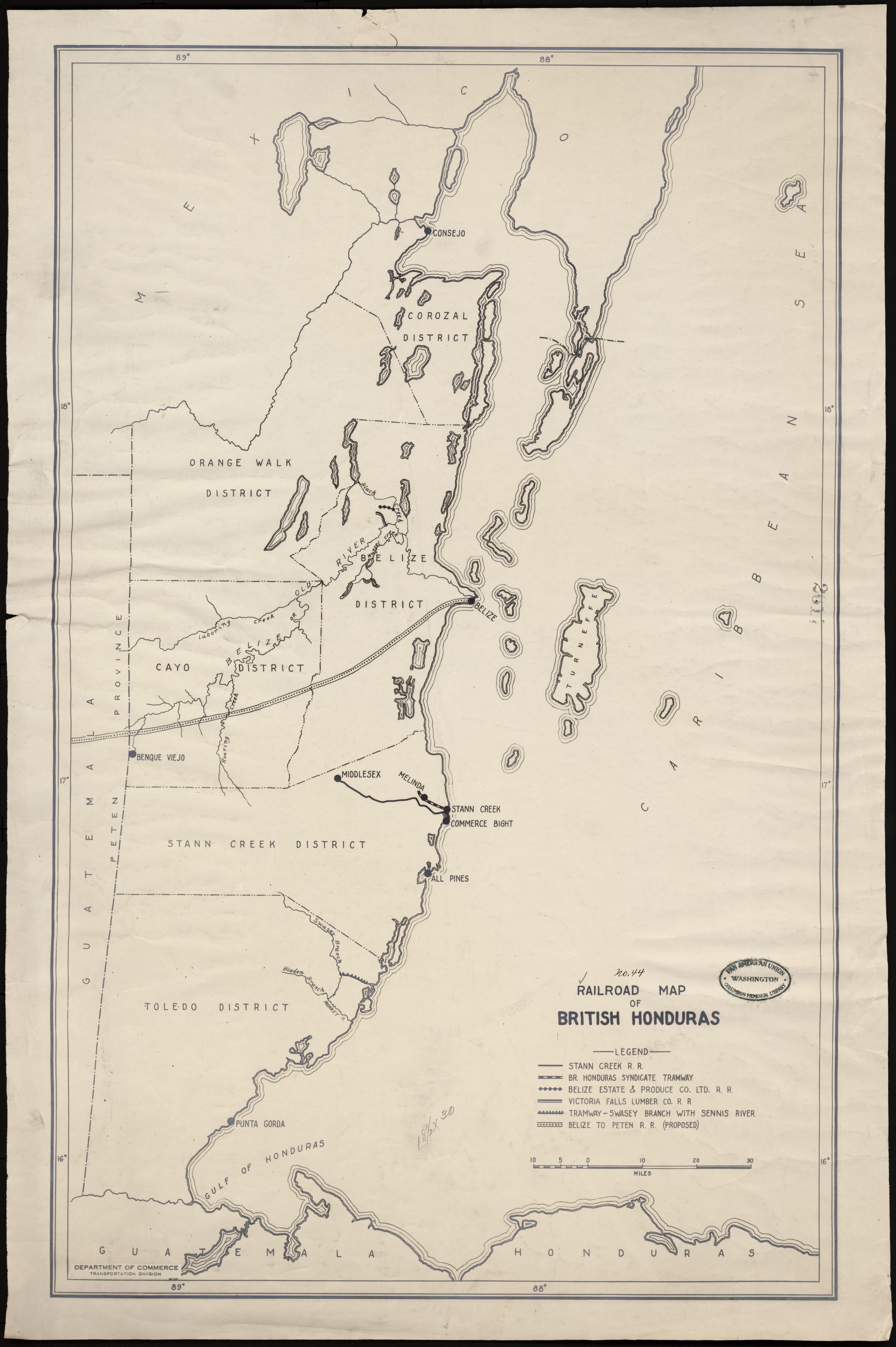
Railroad Map of British Honduras Transportation Department of the United States Department of Commerce. Library of Congress Geography and Map Division. https://hdl.loc.gov/loc.wdl/wdl.11329

Railroad Map of British Honduras Transportation Department of the United States Department of Commerce. Library of Congress Geography and Map Division. https://hdl.loc.gov/loc.wdl/wdl.11329

Map 1900
REPÚBLICA DEL PARAGUAY INSTITUTO PARAGUAYO DEL INDÍGENA (I.N.D.I.) PARCIALIDADES INDÍGENAS ACTUALES

REPÚBLICA DEL PARAGUAY INSTITUTO PARAGUAYO DEL INDÍGENA (I.N.D.I.) PARCIALIDADES INDÍGENAS ACTUALES

Map
NLE. GRENADE;VENEZUELA;EQUATEUR;GUYANES.

NLE. GRENADE;VENEZUELA;EQUATEUR;GUYANES.

Map 1860
La región andina central ecuatoriana

La región andina central ecuatoriana

Map -500 - 1550

Dispossessions in the Americas

A project by

University of Pennsylvania

Copyright 2024

With support from

Mellon Foundation

Site design & development

Element 84

Art Credits

Unicef. “Atlas sociolingüístico de pueblos indígenas en América Latina.” Pg. 168. 2009. Accessed September 2021. https://www.unicef.org/lac/media/9791/file/PDF%20Atlas%20sociolinguistico%20de%20pueblos%20ind%C3%ADgenas%20en%20ALC-Tomo%201.pdf

Site Pages

  • Home
  • Explore
  • About
  • Authors
  • Art
  • Bodies
  • Curricula
  • Cultural Heritage
  • Maps
  • Territories