Peoples
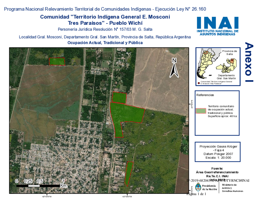
- WICHI
Citation
Biblioteca del Congreso de la Nación. Legislación oficial actualizada. September 1, 2020. Accessed June 8, 2026 https://bcn.gob.ar/uploads/SEPARATA-2-PUEBLOS-ORIGINARIOS-BORA-01-09-2020.pdf
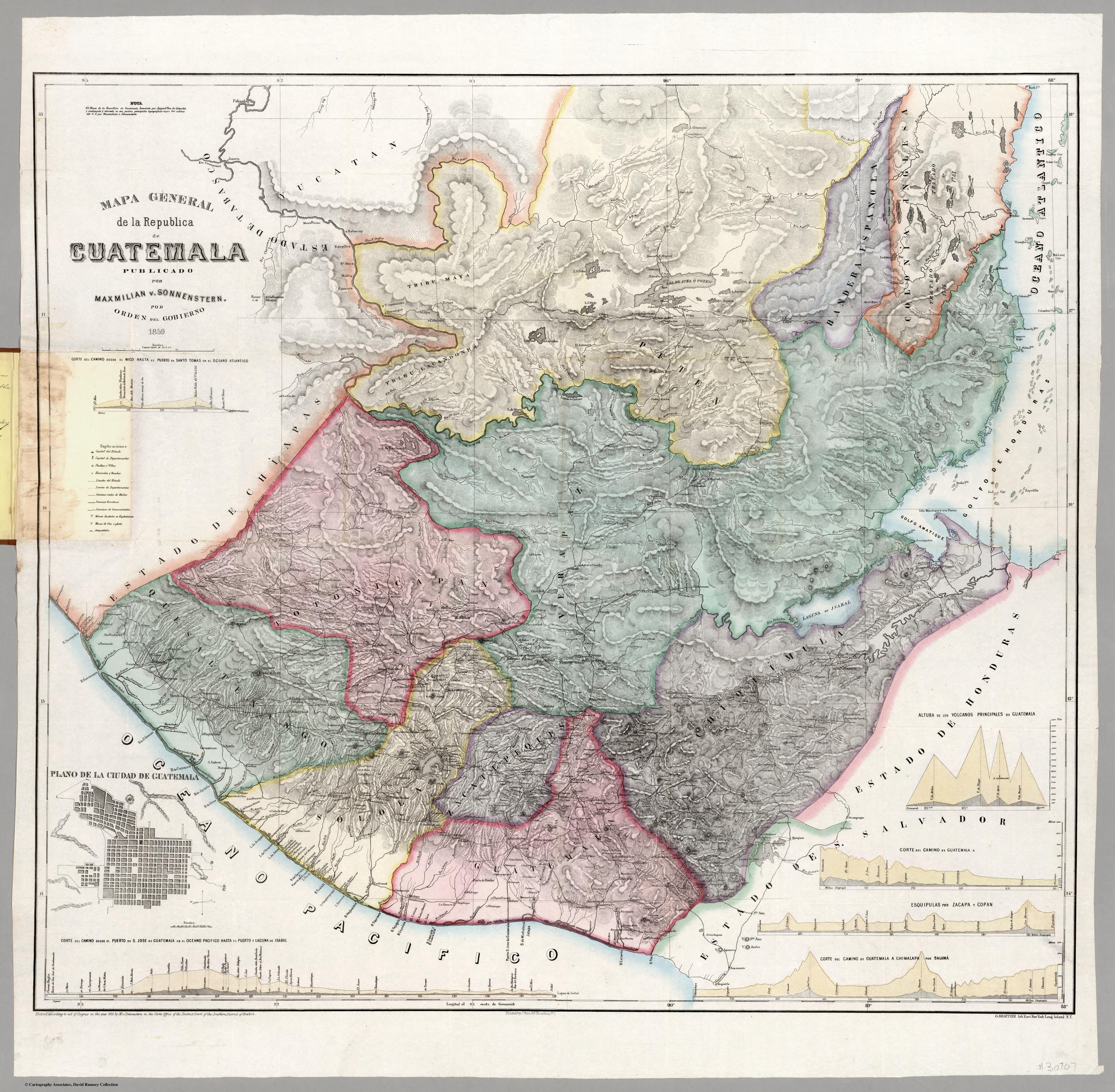
Mapa general de la Republica de Guatemala. Publicado por Maximilian v. Sonnenstern por orden del gobierno, 1859. Printed by J. Rau, 33 Broadway, NY. G Kraetzer lith, East New York Long Island, N.Y. "Entered according to act of Congress in the year 1859 by M.v Sonnenster...New York. (insets) Plando de la Ciudad de Guatemala;and 6 releif profiles.
Map 1800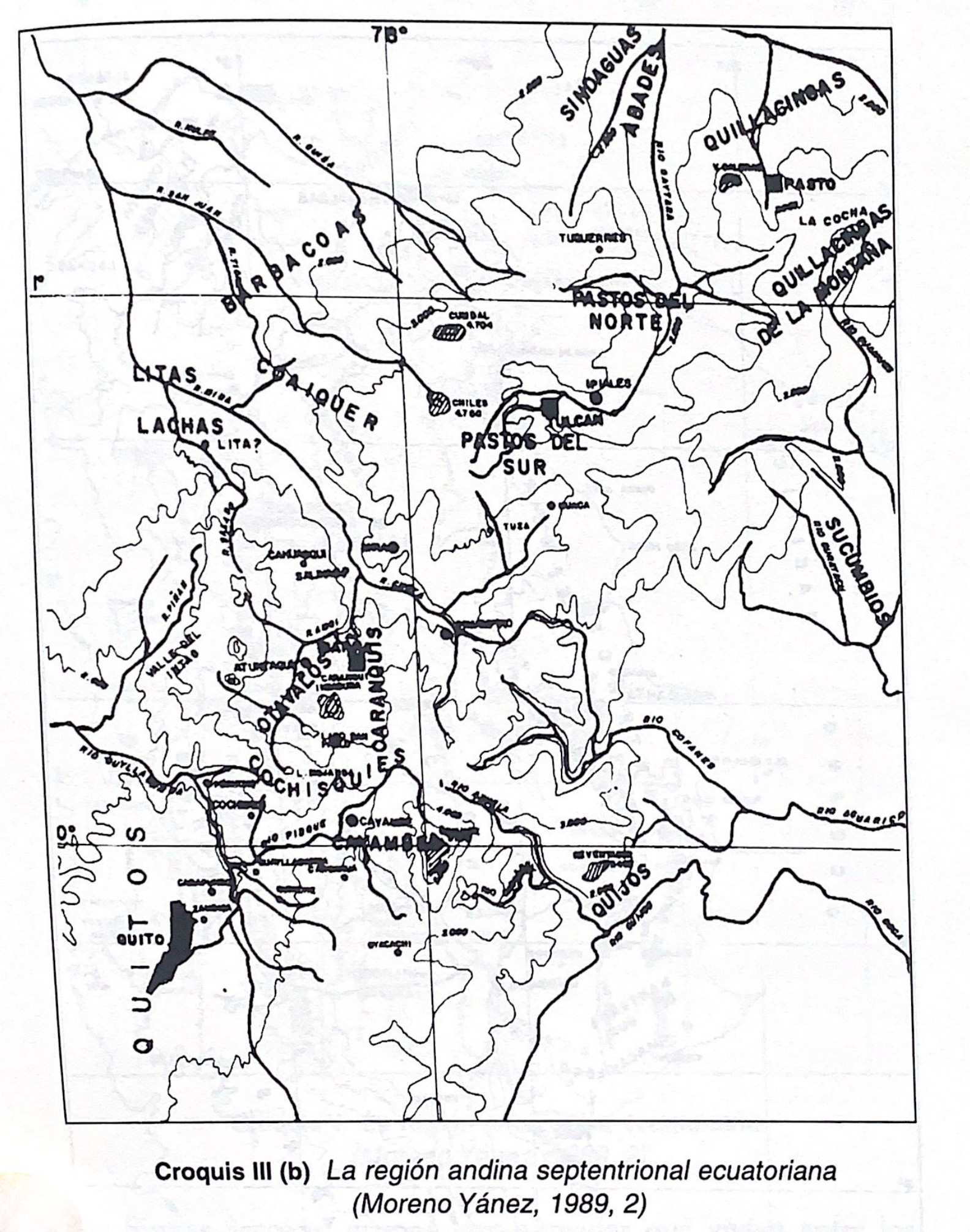
Croquis III. (b) La región andina septentrional ecuatoriana (Moreno Yanez;1989;2)
Map -500 - 1530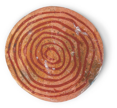
Plate
Artwork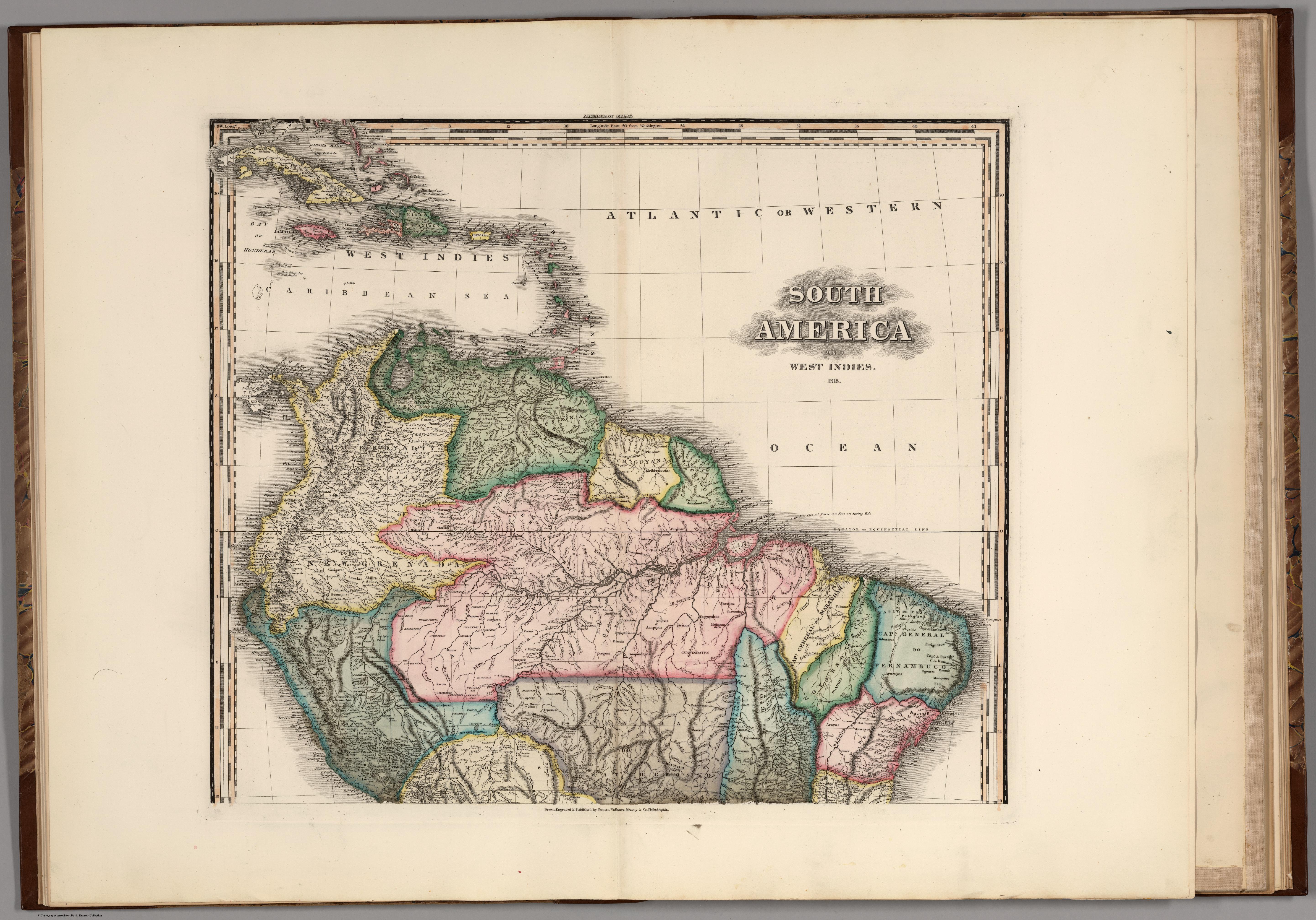
South America and West Indies. 1818
Map 1818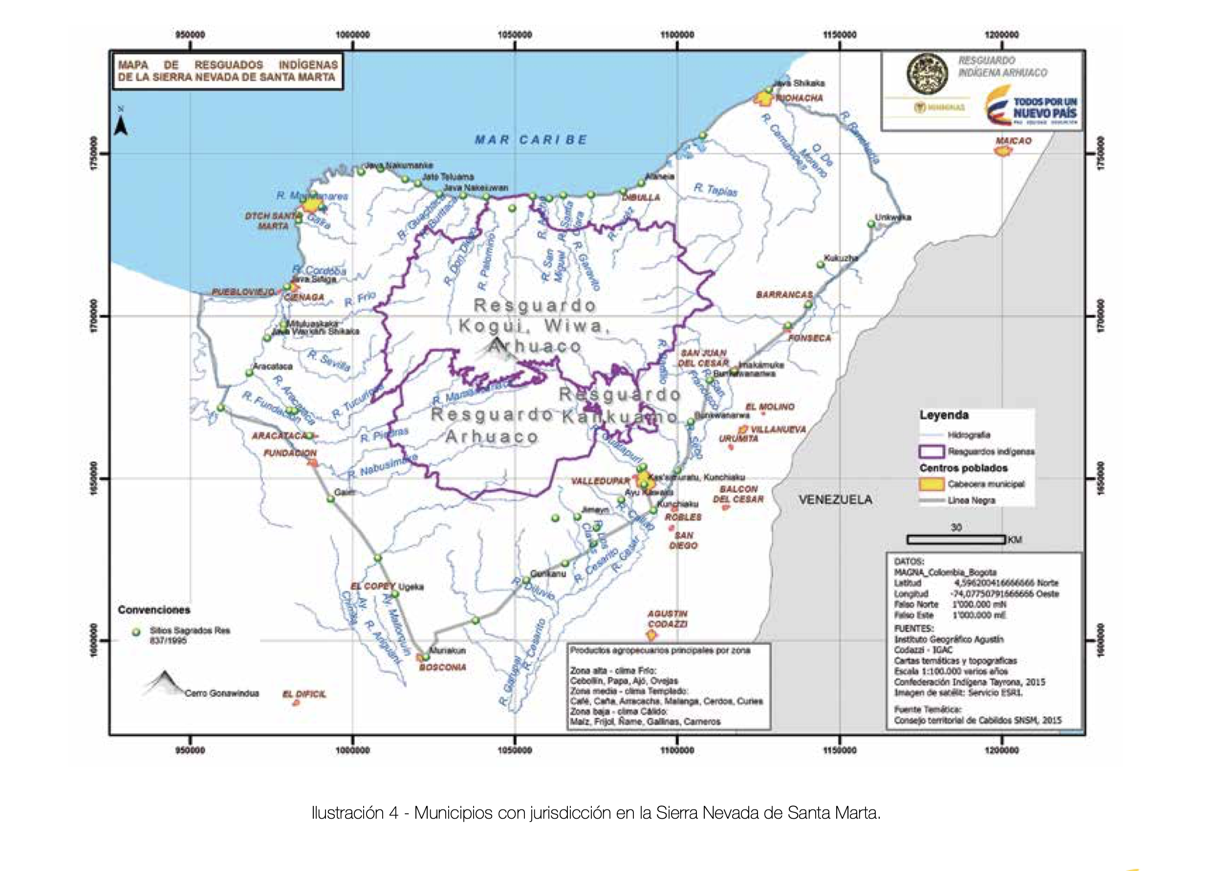
MUNICIPIOS CON JURISDICCION EN LA SIERRA NEVADA DE SANTA MARIA
Map 2015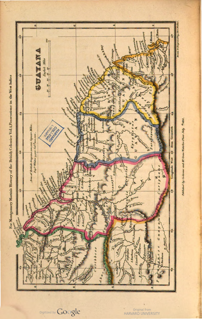
Guyana
Map 1800 - 1899![Zona de Silencio [The Silence Zone]](https://dnet8ble6lm7w.cloudfront.net/art_sm/AMEX015.png)
Zona de Silencio [The Silence Zone]
Artwork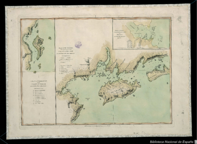
PLAN of the Isle GRANDE & the adjacent parts of the COAST of BRAZIL
Map 1764