Peoples
- GUARANI
Citation
Biblioteca del Congreso de la Nación. Legislación oficial actualizada. September 1, 2020. Accessed June 8, 2021 https://bcn.gob.ar/uploads/SEPARATA-2-PUEBLOS-ORIGINARIOS-BORA-01-09-2020.pdf
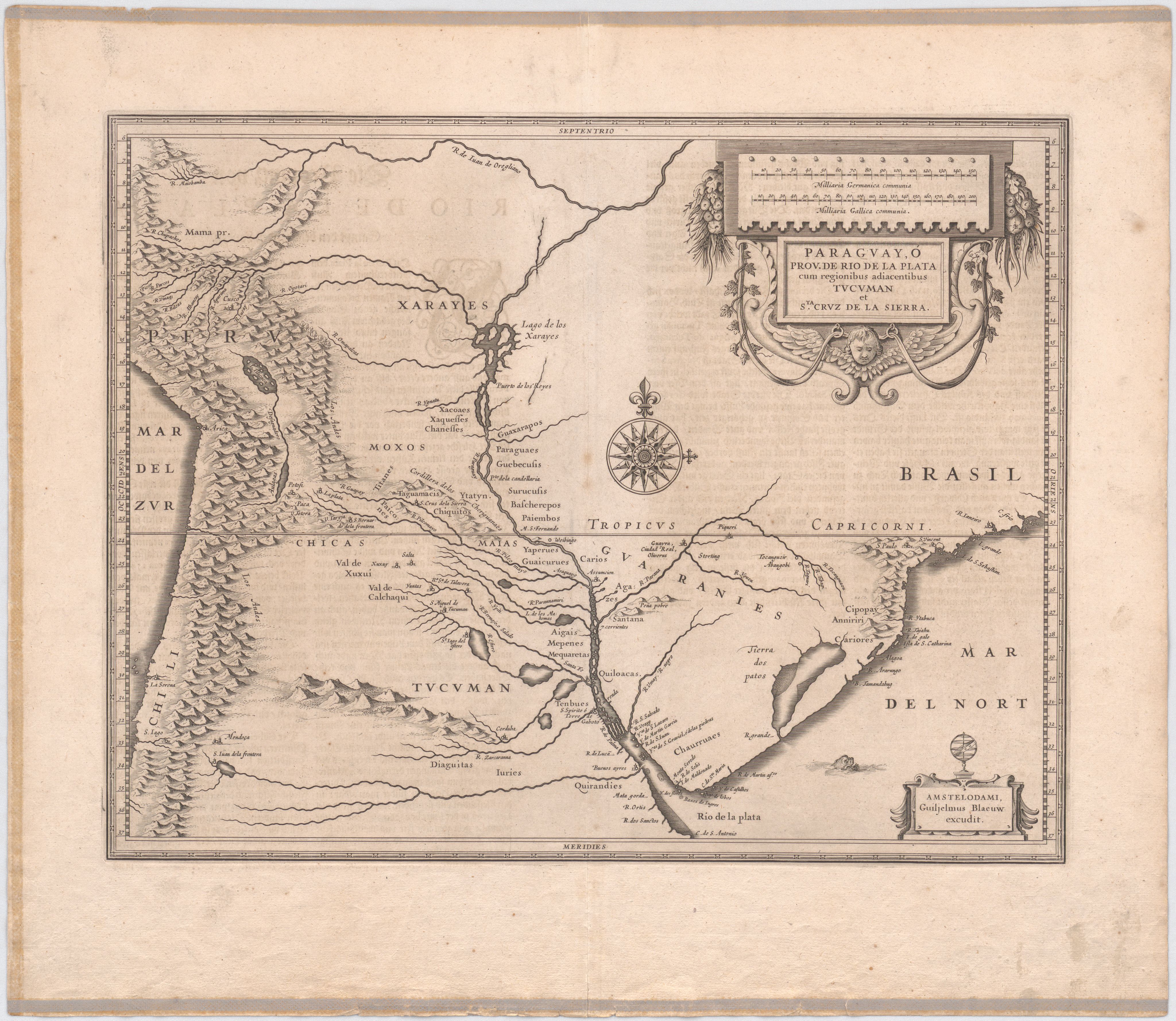
Paraguay, Ó Prov. De Rio De La Plata cum regionibus adiacentibus Tvcvman et Sta. Crvz De La Sierra.
Map 1600 - 1650
Detail from the 1770 copy of Francisco Álvarez Barreiro’s 1728 map of northern New Spain illustrating Spanish mapping of Indian domains in southern Texas and along the Gulf Coast, especially through the repetition of labels: “tierra de los Pampopas,” “tierra de los Carrizos,” “tierra de los Cujanes,” etc.
Map 1728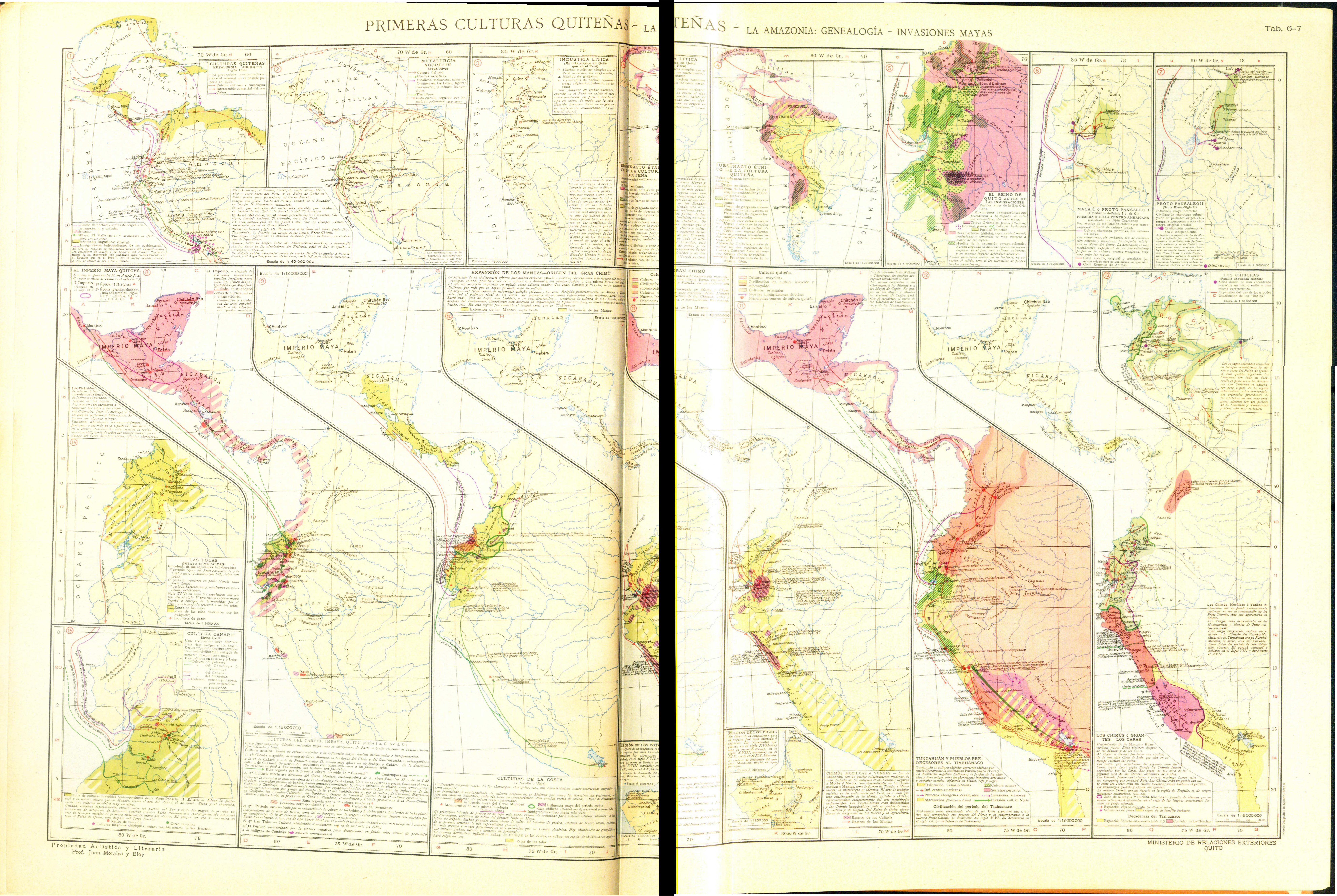
PRIMERAS CULTURAS QUITENAS - LA AMAZONIA - GENEALOGÍA - INVASIONES MAYAS
Map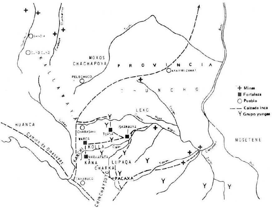
THE AYMARA POLITY OF THE LUPAQA: EASTERN INTER-ANDEAN VALLEY COLONIES UNDER INCA RULE 16TH CENTURY
Map 1560 - 1567
Carte de la Moskitie oú se fonde la Neustrie
Map 1830
Map of Coatlinchan, Valley of Mexico, 1578, Archivo General de la Nación, no. 1678
Map 1578
Carte de la Guiane
Map 1700 - 1799
Serie Fatherland / Padre Patria
Artwork