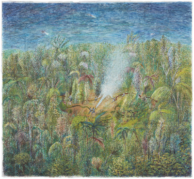
Peoples
- ATACAMA
- AVA GUARANI
- CHANE
- CHARRUA
- CHOROTE
- CHULUPI
- CHULUPI
- NIVACLE
- COMECHINGON
- DIAGUITA
- DIAGUITA CACANO
- DIAGUITA CALCHAQUI
- HUARPE
- KOLLA
- KOLLA ATACAMA
- LULE
- LULE VILELA
- MAPUCHE
- MAPUCHE TEHUELCHE
- MBYA GUARANI
- MOCOVI
- MOCOVI TOBA
- OCLOYA
- OMAGUACA
- SELK'NAM
- PILAGA
- RANKULCHE
- SANAVIRON
- TEHUELCHE
- KOLLA TILIAN
- TUPI GUARANI
- QOM
- TONOKOTE
- WICHI
- KOLLA TASTIL
- KOLLA GUARANI
- TAPIETE
- GUAYCURU
- GUARANI
- QUECHUA
- LOGYS
Citation
Mapa de pueblos indígenas del actual territorio Argentino. Map. Ministerio de Educación de la Nación, n.d. Accessed March 30, 2021. https://www.aborigenargentino.com.ar/datos-de-ubicacion-y-poblacion-de-los-pueblos-indigenas/
![1. Angustia #1
2. Angustia #2
3. Angustia #7
4. Angustia #8
5. Angustia #10
6. Angustia #12 [Anguish]](https://dnet8ble6lm7w.cloudfront.net/art_sm/ACOL025.png)
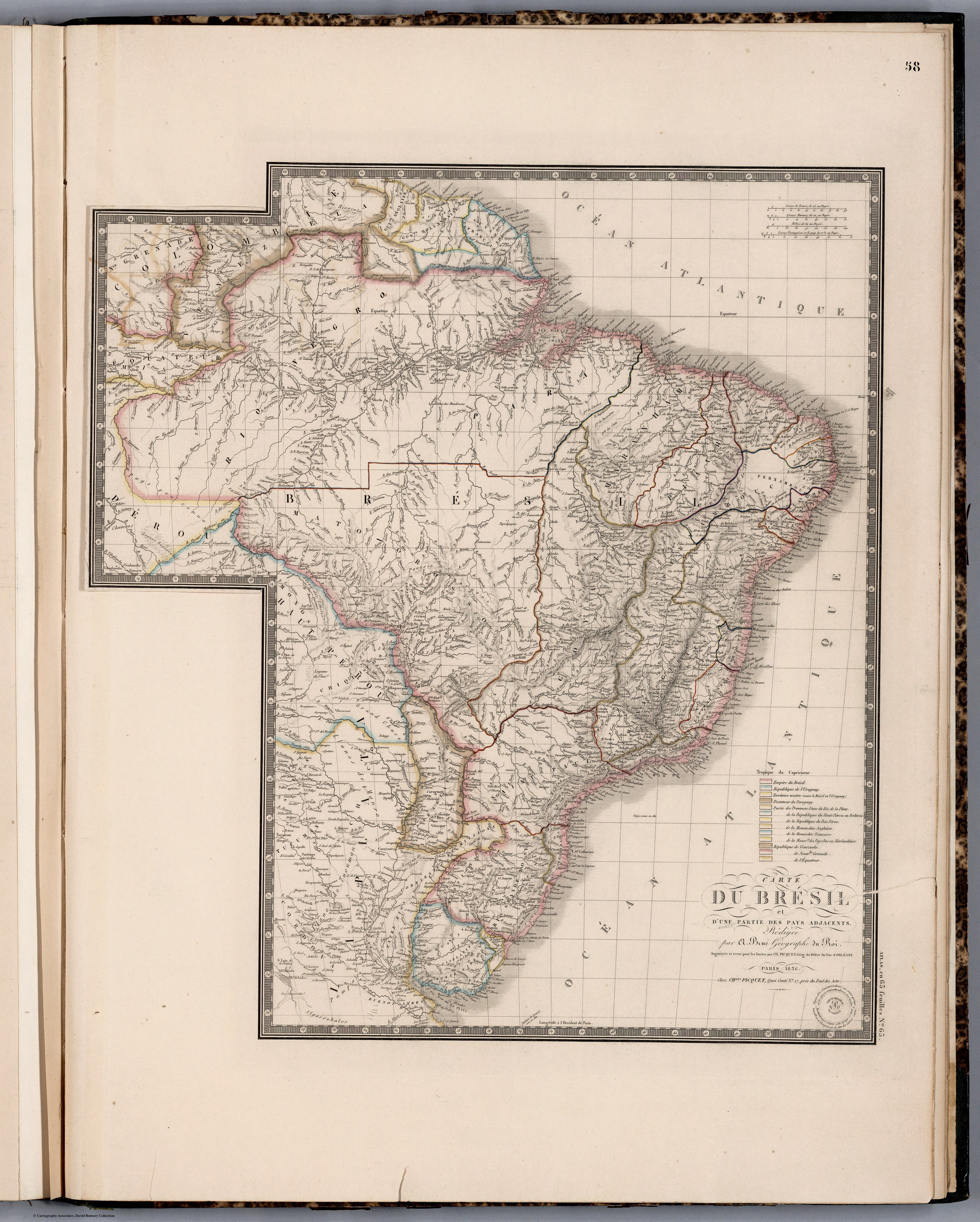
![Mapa particular que comprehende la mayor parte de las provincias de Cartagena y Panamá para la [...] con los Yndios Darienes y de las nuevas fundaciones que para su continuacion, y pacificacion y evitar el trato ilícito de extrangeros frecuentado [...] Año de 1785 en la costa del Norte del Ysthmo del Darien y en la del leste del golfo de Uraba, abandonadas en el de 90, y de las reforzadas ultimamente para su [...]nardo y San Geronimo situados en las orillas del Rio del Sinu, fronterizos a los mencionados Yndio](https://dnet8ble6lm7w.cloudfront.net/maps/COL/COL0083.jpg)