Dispossesions in the Americas

Dispossesions in the Americas

  • Home
  • Explore
  • About
  • Authors
  • Art
  • Bodies
  • Curricula
  • Cultural Heritage
  • Maps
  • Territories
Back to Explore
Art Exhibit 2021

The Rhea’s Footprint

  • Río Paraná (Duen Sacchi and Mag de Santo)

Abstract

Location: Museum of Contemporary art of Panama in Panama City, Panama.

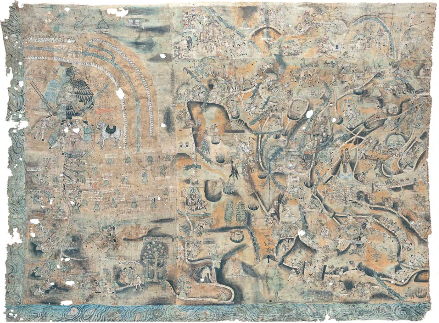
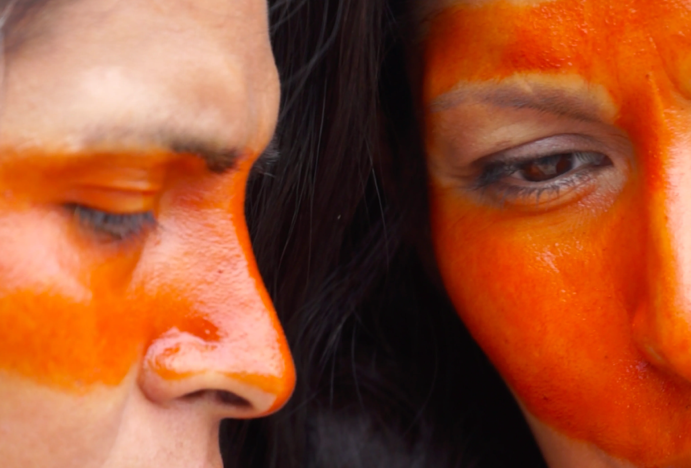
Originally shown at La Virreina Museum of Art in Barcelona, Spain (2021), The Rhea’s Footprint was presented at MAC Panama as a visual essay narrating the ‘counter-history’ of travesti/trans/non-binary bodies from the global south.

In the words of the curators, Duen Sacchi and Mag de Santo:

“We present here a constellation of intuitions, knowledges and practices on the colonial invention of bodies based on the imposition of a hierarchy of skintone, sexuality, gender and ethnic identity and the banning of certain individual and community erotic, visual and spiritual practices. We will attempt to attest to the powerful beauty of the invocations against the effects of the colonial trauma and the permanent resistance against it in our bodies. The exhibition The Rhea’s Footprint (Or How We Transform Silences) enables us to chart a counter-history of bodies that today we would term transvestite/trans/non-binary.”

Official website: https://macpanama.org/blogs/exposiciones-pasadas/la-pisada-del-nandu

Reading in Spanish

Art Exhibit 2021

La pisada del Ñandú

  • Río Paraná (Duen Sacchi and Mag de Santo)

“Mil Sucesos perdidos hasta ahora”, Río Paraná (Duen Sacchi y Mag De Santo), 2021, videoinstalación, cortesía de los artistas.

“Mil Sucesos perdidos hasta ahora”, Río Paraná (Duen Sacchi y Mag De Santo), 2021, videoinstalación, cortesía de los artistas.

Related Content

Mapa de la parte de la Provincia de Comayagua ú Honduras en que habitan los indios Xicaques.

Mapa de la parte de la Provincia de Comayagua ú Honduras en que habitan los indios Xicaques.

Map 1798
Outlines of the physical and political division of South America: Delineated by A. Arrowsmith partly from scarce and original documents, published before the year 1806 but principally from manuscript maps & surveys made between the years 1771 and 1806, corrected from accurate astronomical observations to 1810.

Outlines of the physical and political division of South America: Delineated by A. Arrowsmith partly from scarce and original documents, published before the year 1806 but principally from manuscript maps & surveys made between the years 1771 and 1806, corrected from accurate astronomical observations to 1810.

Map 1800 - 1899
Plano del Puerto de Quilqua

Plano del Puerto de Quilqua

Map 1700 - 1799
Carte du gouvernement de Cayenne jusqu'à la rivière des Amazones.

Carte du gouvernement de Cayenne jusqu'à la rivière des Amazones.

Map 1600 - 1699
Der Nordliche Theil von Sud-America

Der Nordliche Theil von Sud-America

Map 1800 - 1899
Guaraní Ñandéva

Guaraní Ñandéva

Map 2001
Mami y Yo y mi gallito [Mommy, Me, and My Little Rooster]

Mami y Yo y mi gallito [Mommy, Me, and My Little Rooster]

Artwork
South America from the latest discoveries, shewing the Spanish & Portuguese settlements according to Mr. D'Anville

South America from the latest discoveries, shewing the Spanish & Portuguese settlements according to Mr. D'Anville

Map 1771

Dispossessions in the Americas

A project by

University of Pennsylvania

Copyright 2024

With support from

Mellon Foundation

Site design & development

Element 84

Site Pages

  • Home
  • Explore
  • About
  • Authors
  • Art
  • Bodies
  • Curricula
  • Cultural Heritage
  • Maps
  • Territories